Chest opened
+${chestReward.xp} XP
Explorer
NOUVEAU ×${chestReward.collectible.quantity}
tapez pour fermer

See the monuments around you in AR Open chests in the app

Around Us is built for your phone — point your camera at the streets and discover the monuments and places around you in augmented reality. Around Us is built for your phone — chests unlock when you walk, explore and capture nearby places.

Enable Location

We need your location to show you interesting places around you

Discover nearby places

Find interesting locations and hidden gems around you

Precise directions

Get accurate directions and distances to places

Your location is never shared with other users. It's only used when you tap the location button.

Log in to your account

Start exploring — it's free

Trusted by 84,995 travelers worldwide

Continue with Google
Continue with Apple
or

We will send you a code to connect

By continuing, you accept our Terms and Conditions and our Privacy Policy

Check your inbox

We've sent a pincode in your inbox. Please enter the code below.

Discussion Reviews Photo
2.4k Popularity

Biesterfeldt Site, Archaeological site in Ransom County, US

The Biesterfeldt Site is an archaeological settlement on the southern bank of the Sheyenne River containing approximately 70 circular earth lodge foundations of varying sizes. The central plaza and surrounding fortification trenches remain visible across the landscape.

The settlement was established in the early 18th century and flourished for several decades before conflicts with neighboring tribes led to its abandonment. This period marked a major transition in the region's development.

The arrangement of dwellings around a central plaza reflects how the community organized itself spatially and socially.

The site sits in an open river valley setting and is relatively accessible to visitors, with features becoming more or less visible depending on the season. Spring and fall visits offer the clearest views of the earthwork features.

Pottery fragments, fishbone tools, and bison bone objects found here reveal a community that combined hunting with river fishing practices. This mixed economy was uncommon for settlements in this region during that era.

The community of curious travelers

AroundUs brings together thousands of curated places, local tips, and hidden gems, enriched daily by 60,000 contributors worldwide.
Start exploring
Location
GPS coordinates
46.39611,-97.48639
Latest update
August 30, 2026 23:27
Around this place
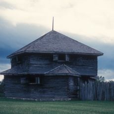
Fort Abercrombie
United States of America

Fort Abercrombie

36.8 mi
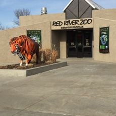
Red River Zoo
United States of America

Red River Zoo

43.2 mi
Bonanzaville, USA
United States of America

Bonanzaville, USA

42.5 mi
Chahinkapa Zoo
United States of America

Chahinkapa Zoo

43.3 mi
Fort Ransom State Park
United States of America

Fort Ransom State Park

23.8 mi
Frederick A. and Sophia Bagg Bonanza Farm
United States of America

Frederick A. and Sophia Bagg Bonanza Farm

31.3 mi
United States of America

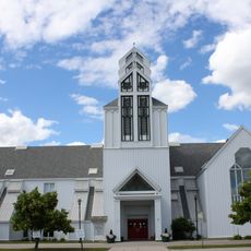
Sts. Anne and Joachim Catholic Church

42.4 mi
Gethsemane Episcopal Cathedral
United States of America

Gethsemane Episcopal Cathedral

43.5 mi
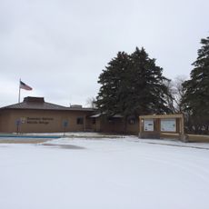
Tewaukon National Wildlife Refuge
United States of America

Tewaukon National Wildlife Refuge

27.5 mi
United States of America

North Dakota Winter Show

43.3 mi
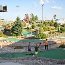
Thunder Road Family Fun Park
United States of America

Thunder Road Family Fun Park

43.2 mi
St. Stephen's Episcopal Church
United States of America

St. Stephen's Episcopal Church

37.4 mi
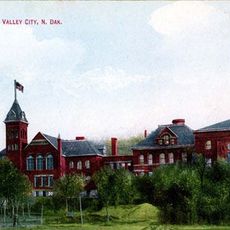
State Normal School at Valley City Historic District
United States of America

State Normal School at Valley City Historic District

43.6 mi
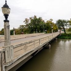
Lisbon Bridge
United States of America

Lisbon Bridge

9.9 mi
United States of America

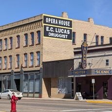
Lisbon Opera House

9.8 mi
Richland County Courthouse
United States of America

Richland County Courthouse

43 mi
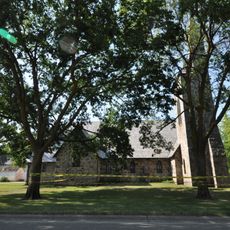
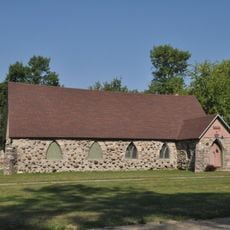
Old Stone Church
United States of America

Old Stone Church

36.5 mi
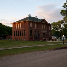
Wolverton Public School
United States of America

Wolverton Public School

37.6 mi
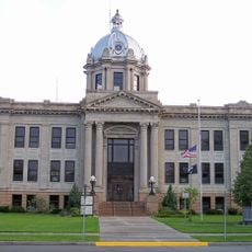
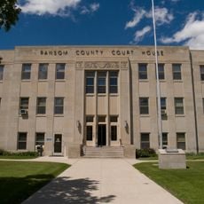
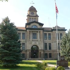
Ransom County Courthouse
United States of America

Ransom County Courthouse

10 mi
1916 Buffalo High School
United States of America

1916 Buffalo High School

36.4 mi
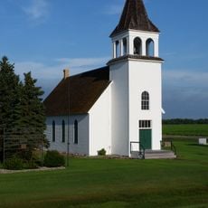
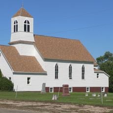
South Wild Rice Church
United States of America

South Wild Rice Church

35.8 mi
Palestine Evangelical Lutheran Church
United States of America

Palestine Evangelical Lutheran Church

34.5 mi
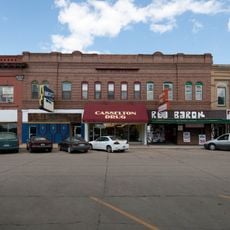
Casselton Commercial Historic District
United States of America

Casselton Commercial Historic District

37.3 mi
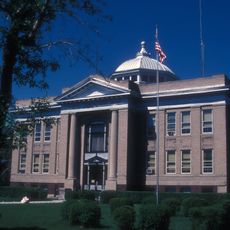
Sargent County Courthouse
United States of America

Sargent County Courthouse

21.3 mi
Marshall County Courthouse
United States of America

Marshall County Courthouse

43.7 mi
T. J. Walker Historic District
United States of America

T. J. Walker Historic District

22.9 mi
Wahpeton Post Office
United States of America

Wahpeton Post Office

42.9 mi
Watts Free Library
United States of America

Watts Free Library

21.2 mi
Show the full map
Reviews
Share your experience

No review yet

Discussions
Start a discussion...

No discussion yet

« Biesterfeldt Site - Archaeological site in Ransom County, US » is provided by Around Us (aroundus.com). Images and texts are derived from Wikimedia project under a Creative Commons license. You are allowed to copy, distribute, and modify copies of this page, under the conditions set by the license, as long as this note is clearly visible.

Discover hidden gems everywhere you go!

From secret cafés to breathtaking viewpoints, skip the crowded tourist spots and find places that match your style. Our app makes it easy with voice search, smart filtering, route optimization, and insider tips from travelers worldwide. Download now for the complete mobile experience.

Around Us App Screenshot

A unique approach to discovering new places

Le Figaro

All the places worth exploring

France Info

A tailor-made excursion in just a few clicks

20 Minutes

Around Us
Travel Guide & Maps
Download

Send to your phone

QR Code
1

Open the camera app on your mobile.

2

Point at the QR code with your camera. A notification will appear.

3

Tap the notification to open the link.