Chest opened
+${chestReward.xp} XP
Explorer
NOUVEAU ×${chestReward.collectible.quantity}
tapez pour fermer

See the monuments around you in AR Open chests in the app

Around Us is built for your phone — point your camera at the streets and discover the monuments and places around you in augmented reality. Around Us is built for your phone — chests unlock when you walk, explore and capture nearby places.

Enable Location

We need your location to show you interesting places around you

Discover nearby places

Find interesting locations and hidden gems around you

Precise directions

Get accurate directions and distances to places

Your location is never shared with other users. It's only used when you tap the location button.

Blackhead

Log in to your account

Start exploring — it's free

Trusted by 86,125 travelers worldwide

Continue with Google
Continue with Apple
or

We will send you a code to connect

By continuing, you accept our Terms and Conditions and our Privacy Policy

Check your inbox

We've sent a pincode in your inbox. Please enter the code below.

Blackhead
Discussion Reviews 1 Photos
2k Popularity

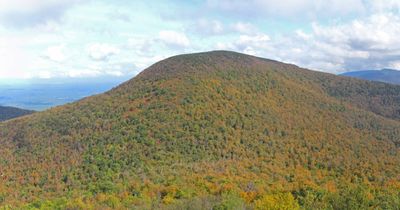
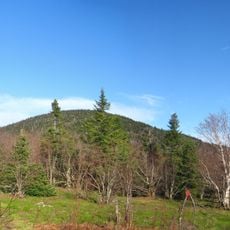
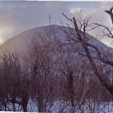
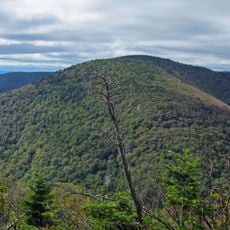
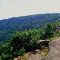
Blackhead, Mountain summit in Greene County, New York, US

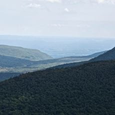
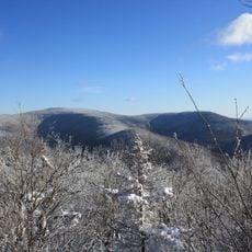
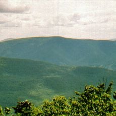
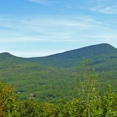
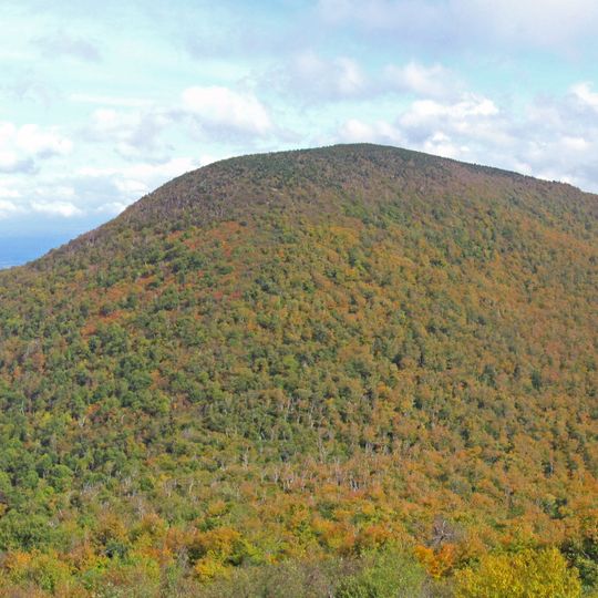
Blackhead is a mountain in the northern Catskill range that rises to approximately 3,940 feet and features steep rock formations surrounded by thick forest cover. The landscape includes several hiking paths that traverse different sections of the mountain.

The mountain was documented by surveyors in the early 1800s who recognized its importance to the region's natural landscape. This early documentation established the foundation for later protection efforts.

The mountain is part of the Catskill Park system and serves as a landmark within a broader network of hiking routes across the region. Visitors often pass through this area as part of longer journeys into the northern Catskills.

Visitors should bring sturdy footwear and plenty of water as the route is demanding with significant elevation changes throughout. The path is accessible year-round, though conditions vary depending on the season.

Water sources originating from this peak flow into several streams that eventually reach the Hudson River. This makes it an important point in the watershed system of the wider area.

The community of curious travelers

AroundUs brings together thousands of curated places, local tips, and hidden gems, enriched daily by 60,000 contributors worldwide.
Start exploring
Location
GPS coordinates
42.26774,-74.10464
Latest update
September 12, 2026 05:22
Around this place
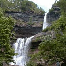
Kaaterskill Falls
United States of America

Kaaterskill Falls

5.6 mi
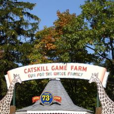
Catskill Game Farm
United States of America

Catskill Game Farm

5.3 mi
United States of America

Platte Clove

9.9 mi
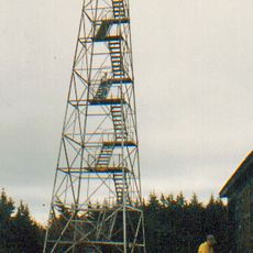
Hunter Mountain Fire Tower
United States of America

Hunter Mountain Fire Tower

8.9 mi
Thomas Cole Mountain
United States of America

Thomas Cole Mountain

1.6 mi
Black Dome
United States of America

Black Dome

0.9 mi
Sugarloaf Mountain
United States of America

Sugarloaf Mountain

9.7 mi
North Mountain
United States of America

North Mountain

4.5 mi
All Souls Church
United States of America

All Souls Church

3.4 mi
Twin Mountain
United States of America

Twin Mountain

9.9 mi
Hathaway
United States of America

Hathaway

3.2 mi
Rusk Mountain
United States of America

Rusk Mountain

10 mi
Rowena Memorial School
United States of America

Rowena Memorial School

7.7 mi
Woodward Road Stone Arch Bridge
United States of America

Woodward Road Stone Arch Bridge

7.2 mi
Union Chapel
United States of America

Union Chapel

9.3 mi
Salisbury Manor
United States of America

Salisbury Manor

9.5 mi
Centre Presbyterian Church
United States of America

Centre Presbyterian Church

8 mi
St. Paul's Lutheran Church
United States of America

St. Paul's Lutheran Church

10 mi
St. Mary's of the Mountain Church
United States of America

St. Mary's of the Mountain Church

6.6 mi
Hervey Street Road Stone Arch Bridge
United States of America

Hervey Street Road Stone Arch Bridge

5.5 mi
Tannersville Main Street Historic District
United States of America

Tannersville Main Street Historic District

5.1 mi
Harry Fischel House
United States of America

Harry Fischel House

6.9 mi
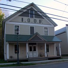
IOOF Hall
United States of America

IOOF Hall

7 mi
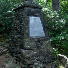
Frank D. Layman Memorial
United States of America

Frank D. Layman Memorial

5.7 mi
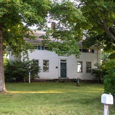
Torry-Chittenden Farmhouse
United States of America

Torry-Chittenden Farmhouse

9.8 mi
Hunter Mountain
United States of America

Hunter Mountain

9 mi
Methodist Episcopal Church of Windham Centre
United States of America

Methodist Episcopal Church of Windham Centre

7.9 mi
Kaaterskill High Peak
United States of America

Kaaterskill High Peak

7.4 mi
Show the full map
Reviews
Share your experience

No review yet

Discussions
Start a discussion...

No discussion yet

« Blackhead - Mountain summit in Greene County, New York, US » is provided by Around Us (aroundus.com). Images and texts are derived from Wikimedia project under a Creative Commons license. You are allowed to copy, distribute, and modify copies of this page, under the conditions set by the license, as long as this note is clearly visible.

Discover hidden gems everywhere you go!

From secret cafés to breathtaking viewpoints, skip the crowded tourist spots and find places that match your style. Our app makes it easy with voice search, smart filtering, route optimization, and insider tips from travelers worldwide. Download now for the complete mobile experience.
Around Us App Screenshot

A unique approach to discovering new places

Le Figaro

All the places worth exploring

France Info

A tailor-made excursion in just a few clicks

20 Minutes

Around Us
Travel Guide & Maps
Download

Send to your phone

QR Code
1

Open the camera app on your mobile.

2

Point at the QR code with your camera. A notification will appear.

3

Tap the notification to open the link.