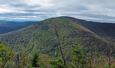
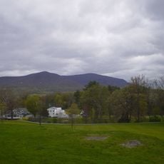
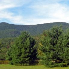
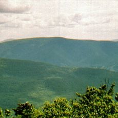
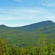
Sugarloaf Mountain, Mountain summit in Greene County, New York, United States.
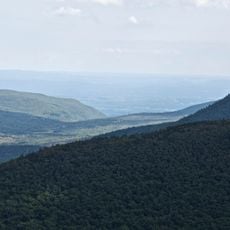
Sugarloaf Mountain is a peak in the Catskill Mountains with steep slopes that form a key section of the Devil's Path hiking system. This route connects several summits and passes through varied terrain as it winds through the range.
The peak was once called Mink Mountain and Brown Mountain before gaining its current name during the early 20th century. These naming changes reflect how the mountain was understood and used by different groups over time.
The Devil's Path serves as a major draw for hikers seeking a serious test of endurance, shaping how outdoor enthusiasts view this region's mountains. This reputation has made it a defining feature of the local hiking culture.
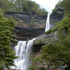
The trail is steep and demands sure footing, especially when wet or snow-covered conditions make the rocks slippery. Start with proper gear and plenty of water, as shelter and rest areas are limited along the way.
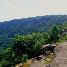
Dibble's Quarry along the route contains natural stone formations shaped like chairs, providing an unexpected spot to rest. These weathered rocks offer a view down into Platte Clove Valley and serve as an unusual landmark on the trail.
Location: New York
Part of: Devil's Path
GPS coordinates: 42.13120,-74.15014
Latest update: December 13, 2025 11:41
Kaaterskill Falls
10 km
Big Pink
10.1 km
Overlook Mountain
7 km
Karma Triyana Dharmachakra
7.1 km
Byrdcliffe Colony
8.7 km
Platte Clove
6.3 km
Mount Tremper
12.3 km
Hunter Mountain Fire Tower
8.4 km
Indian Head Mountain
3.4 km
Church of the Holy Transfiguration of Christ-on-the-Mount
8.4 km
North Mountain
12.7 km
All Souls Church
10.5 km
Twin Mountain
1.8 km
Hathaway
10.5 km
Rowena Memorial School
11.8 km
Diamond Notch Falls
10.1 km
Mount Tremper Fire Observation Station
12.3 km
Judge Jonathan Hasbrouck House
10.4 km
St. Mary's of the Mountain Church
9.1 km
Vosburg Turning Mill Complex
9.6 km
Tannersville Main Street Historic District
7.4 km
Harry Fischel House
10.4 km
Tuscarora Club Bridge
12.3 km
IOOF Hall
10.6 km
Frank D. Layman Memorial
9.6 km
National Youth Administration Woodstock Resident Work Center
11.1 km
Hunter Mountain
8.4 km
Kaaterskill High Peak
6.7 kmVisited this place? Tap the stars to rate it and share your experience / photos with the community! Try now! You can cancel it anytime.
Discover hidden gems everywhere you go!
From secret cafés to breathtaking viewpoints, skip the crowded tourist spots and find places that match your style. Our app makes it easy with voice search, smart filtering, route optimization, and insider tips from travelers worldwide. Download now for the complete mobile experience.
A unique approach to discovering new places❞
— Le Figaro
All the places worth exploring❞
— France Info
A tailor-made excursion in just a few clicks❞
— 20 Minutes