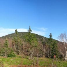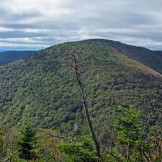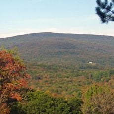
Chest opened
+${chestReward.xp} XP
Explorer
NOUVEAU ×${chestReward.collectible.quantity}
tapez pour fermer

See the monuments around you in AR Open chests in the app

Around Us is built for your phone — point your camera at the streets and discover the monuments and places around you in augmented reality. Around Us is built for your phone — chests unlock when you walk, explore and capture nearby places.

Enable Location

We need your location to show you interesting places around you

Discover nearby places

Find interesting locations and hidden gems around you

Precise directions

Get accurate directions and distances to places

Your location is never shared with other users. It's only used when you tap the location button.

Diamond Notch Falls

Log in to your account

Start exploring — it's free

Trusted by 86,125 travelers worldwide

Continue with Google
Continue with Apple
or

We will send you a code to connect

By continuing, you accept our Terms and Conditions and our Privacy Policy

Check your inbox

We've sent a pincode in your inbox. Please enter the code below.

Diamond Notch Falls
Discussion Reviews 1 Photos
1.4k Popularity

Diamond Notch Falls, Waterfall in Lexington, United States

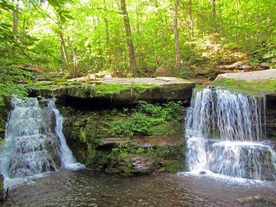
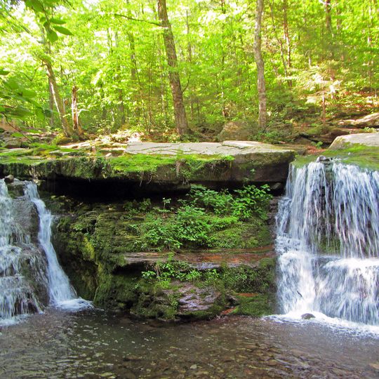
Diamond Notch Falls is a waterfall in Lexington featuring two separate streams that cascade down the rocky slope side by side. The water tumbles over multiple ledges along the way, creating smaller drops before reaching the lower basin.

The area containing the falls was shaped over millions of years through glacial activity and erosion that carved out the Catskill Mountains. The current double-stream formation developed as water continuously flowed and wore away the rock faces.

Local residents and nature photographers frequently document seasonal changes at the falls, contributing to regional nature appreciation initiatives.

Two hiking routes lead to the falls, each clearly marked and starting from different trailheads in the area. Choose the shorter or longer path depending on your available time and fitness level, as both offer good access options.

Hikers on the shorter route encounter a series of small cascades that function like natural stepping stones leading to the main formation. These minor drops provide interesting photo opportunities and reveal how water gradually descends the hillside.

The community of curious travelers

AroundUs brings together thousands of curated places, local tips, and hidden gems, enriched daily by 60,000 contributors worldwide.
Start exploring
Location
Part of
West Kill
GPS coordinates
42.17512,-74.25780
Latest update
September 12, 2026 10:05
Around this place
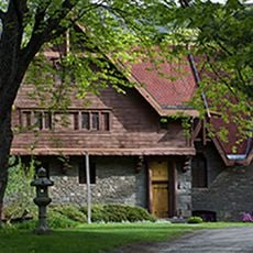
Zen Mountain Monastery
United States of America

Zen Mountain Monastery

8.7 mi
Mount Tremper
United States of America

Mount Tremper

7 mi
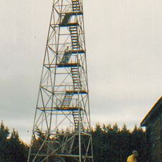
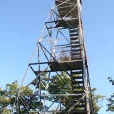
Hunter Mountain Fire Tower
United States of America

Hunter Mountain Fire Tower

1.5 mi
United States of America

Indian Head Mountain

8.4 mi
Thomas Cole Mountain
United States of America

Thomas Cole Mountain

9.1 mi
Black Dome
United States of America

Black Dome

9.6 mi
Sugarloaf Mountain
United States of America

Sugarloaf Mountain

6.3 mi
Halcott Mountain
United States of America

Halcott Mountain

9.2 mi
Empire State Railway Museum
United States of America

Empire State Railway Museum

7 mi
All Souls Church
United States of America

All Souls Church

7.2 mi
Twin Mountain
United States of America

Twin Mountain

7.4 mi
Hathaway
United States of America

Hathaway

7.5 mi
Rusk Mountain
United States of America

Rusk Mountain

2 mi
Mount Tremper Fire Observation Station
United States of America

Mount Tremper Fire Observation Station

7 mi
Centre Presbyterian Church
United States of America

Centre Presbyterian Church

9.1 mi
Trinity Episcopal Church
United States of America

Trinity Episcopal Church

8.8 mi
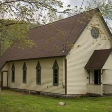
St. Mary's of the Mountain Church
United States of America

St. Mary's of the Mountain Church

3.6 mi
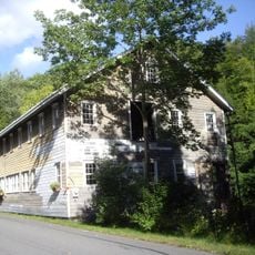
Vosburg Turning Mill Complex
United States of America

Vosburg Turning Mill Complex

7.4 mi
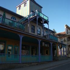
Tannersville Main Street Historic District
United States of America

Tannersville Main Street Historic District

6.8 mi
St. Francis de Sales Catholic Church
United States of America

St. Francis de Sales Catholic Church

6.9 mi
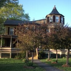
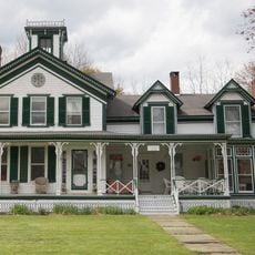
Harry Fischel House
United States of America

Harry Fischel House

3.3 mi
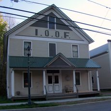
IOOF Hall
United States of America

IOOF Hall

3.3 mi
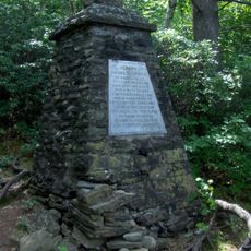
Frank D. Layman Memorial
United States of America

Frank D. Layman Memorial

9.9 mi
Elijah Strong House
United States of America

Elijah Strong House

9.9 mi
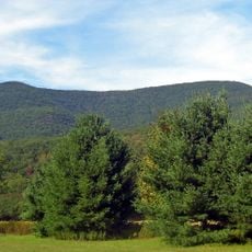
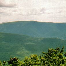
Hunter Mountain
United States of America

Hunter Mountain

1.4 mi
Methodist Episcopal Church of Windham Centre
United States of America

Methodist Episcopal Church of Windham Centre

9.2 mi
Kaaterskill High Peak
United States of America

Kaaterskill High Peak

9.1 mi
Hunter Synagogue
United States of America

Hunter Synagogue

3.3 mi
Show the full map
Reviews
Share your experience

No review yet

Discussions
Start a discussion...

No discussion yet

« Diamond Notch Falls - Waterfall in Lexington, United States » is provided by Around Us (aroundus.com). Images and texts are derived from Wikimedia project under a Creative Commons license. You are allowed to copy, distribute, and modify copies of this page, under the conditions set by the license, as long as this note is clearly visible.

Discover hidden gems everywhere you go!

From secret cafés to breathtaking viewpoints, skip the crowded tourist spots and find places that match your style. Our app makes it easy with voice search, smart filtering, route optimization, and insider tips from travelers worldwide. Download now for the complete mobile experience.
Around Us App Screenshot

A unique approach to discovering new places

Le Figaro

All the places worth exploring

France Info

A tailor-made excursion in just a few clicks

20 Minutes

Around Us
Travel Guide & Maps
Download

Send to your phone

QR Code
1

Open the camera app on your mobile.

2

Point at the QR code with your camera. A notification will appear.

3

Tap the notification to open the link.