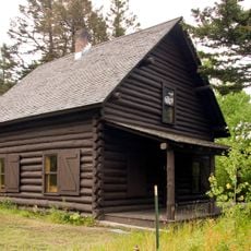
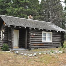
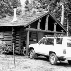
Camp Disappointment, Historic campsite from Lewis and Clark Expedition in Browning, US
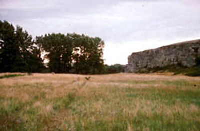
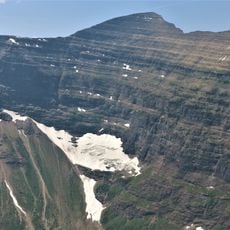
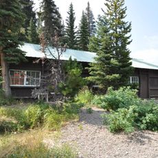
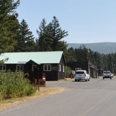
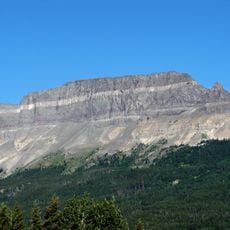
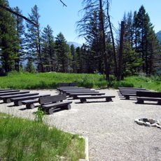
Camp Disappointment is a historic campsite in northern Montana, set in open meadows along Cut Bank Creek and framed by cottonwood trees. Behind the flat ground, a cliff of around 90 meters rises above the surrounding plain, making the spot easy to identify in the open landscape.
Meriwether Lewis and his party stopped here on 22 July 1806 while tracking the northernmost course of the Marias River on the return leg of their expedition. A few days after leaving this camp, they had a tense encounter with a group of Blackfeet men, the only violent episode of the entire journey.
The site sits on land belonging to the Blackfeet Nation, who manage access and hold deep ties to this stretch of northern Montana. For the Blackfeet people, this area along Cut Bank Creek is part of their ancestral territory, not simply a footnote in the story of a 19th-century expedition.
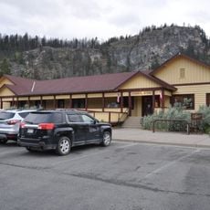
The site sits on private land within the Blackfeet Indian Reservation, so a visit requires permission from the Blackfeet Nation before you arrive. It is worth reaching out well in advance, as access is not open to the general public on a walk-in basis.
Lewis gave the camp its name in his own journals, writing that he was disappointed the Marias River did not reach as far north as he had hoped. A more northerly course would have pushed the boundary of the Louisiana Purchase further into what is now Canada, changing the shape of the country.
The community of curious travelers
AroundUs brings together thousands of curated places, local tips, and hidden gems, enriched daily by 60,000 contributors worldwide.