
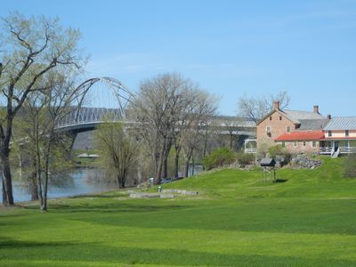
Chimney Point, unincorporated community in Vermont
Location: Addison
Inception: 1991
Elevation above the sea: 37 m
Website: http://historicsites.vermont.gov/directory/chimney_point
Website: http://historicsites.vermont.gov/directory/chimney_point
GPS coordinates: 44.03617,-73.41818
Latest update: March 11, 2025 22:04
Fort Crown Point
1.3 km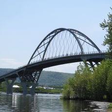
Lake Champlain Bridge
578 m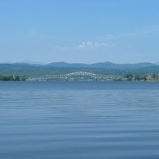
Lake Champlain Bridge
578 m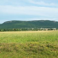
Snake Mountain
11.4 km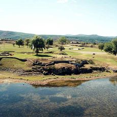
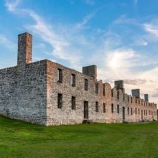
Fort Saint-Frédéric
1.3 km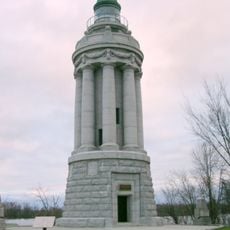
Crown Point Light
752 m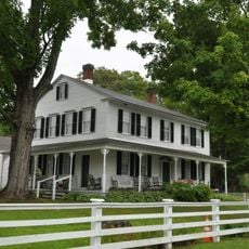
Ironville Historic District
15.9 km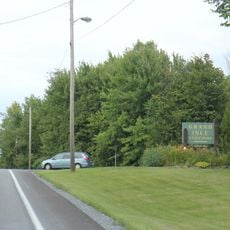
Grand Isle State Park
17.2 km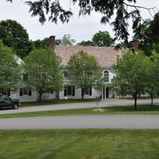
Southern Vermont Arts Center
18.2 km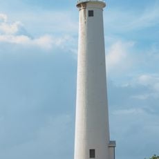
Barber's Point Light
13.2 km
Essex County Fairgrounds
16.9 km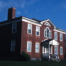
John Strong Mansion Museum
2.1 km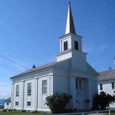
Addison Baptist Church
10.9 km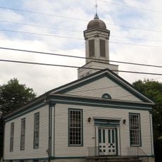
Wesleyan Methodist Church
16.5 km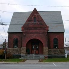
Sherman Free Library
3.6 km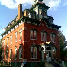
Moriah Town Office Building
3.8 km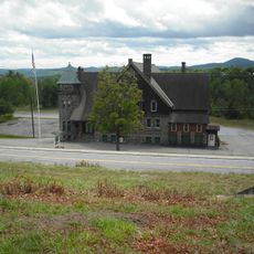
Witherbee Memorial Hall
10.5 km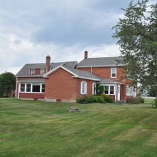
Camp Dudley Road Historic District
13.1 km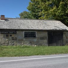
Old Stone Blacksmith Shop
18.2 km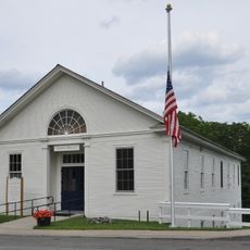
Lake View Grange No. 970
16.7 km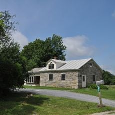
District Six Schoolhouse
15.2 km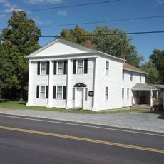
Paris and Anna Fletcher House
10.1 km
Central Powerhouse
11.2 km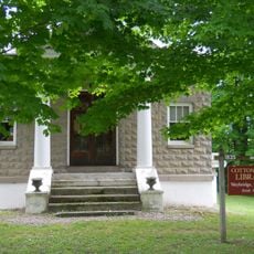
Cotton Free Library
16.5 km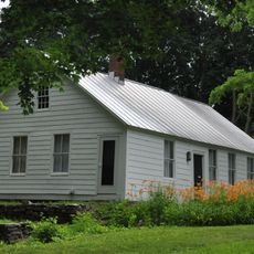
House at 215 School Street
18 km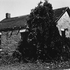
District School No. 1
11 km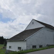
Witherell Farm
17.9 km
John Hamilton Farmstead
12.6 kmReviews
Visited this place? Tap the stars to rate it and share your experience / photos with the community! Try now! You can cancel it anytime.
Discover hidden gems everywhere you go!
From secret cafés to breathtaking viewpoints, skip the crowded tourist spots and find places that match your style. Our app makes it easy with voice search, smart filtering, route optimization, and insider tips from travelers worldwide. Download now for the complete mobile experience.

A unique approach to discovering new places❞
— Le Figaro
All the places worth exploring❞
— France Info
A tailor-made excursion in just a few clicks❞
— 20 Minutes