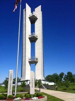
Confluence Tower, Observation tower at Mississippi and Missouri Rivers confluence in Hartford, Illinois.
Confluence Tower is an observation tower at the mouth where the Mississippi and Missouri Rivers meet in Hartford, Illinois. The structure rises with three viewing platforms at different heights to provide comprehensive views of the river confluence area.
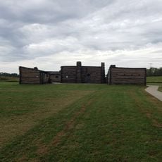
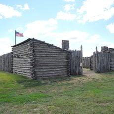
The tower was completed in 2010 and stands at a site with deep historical significance where the Lewis and Clark expedition began in 1803. The adjacent ground marks the location where Camp Dubois was established as the launching point for their legendary journey.
The base garden displays plants collected during the Lewis and Clark expedition, offering insight into regional history and river ecosystems. Visitors can understand the natural resources that the expedition team encountered on their journey.
The tower is easily accessible to visitors with elevators leading to multiple viewing platforms overlooking the river landscape. It is advisable to visit on clear days to achieve the best long-distance views and clearly see both rivers.
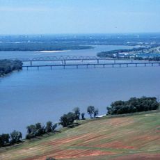
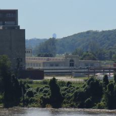
From the upper platforms, visitors can observe where North America's two largest rivers meet, and on clear days the Gateway Arch is visible in the distance. This vantage point reveals why this location was so important for early American exploration.
The community of curious travelers
AroundUs brings together thousands of curated places, local tips, and hidden gems, enriched daily by 60,000 contributors worldwide.