Chest opened
+${chestReward.xp} XP
Explorer
NOUVEAU ×${chestReward.collectible.quantity}
tapez pour fermer
Chest locked

Open chests in the app

Around Us is built for your phone — chests unlock when you walk, explore and capture nearby places.

Enable Location

We need your location to show you interesting places around you

Discover nearby places

Find interesting locations and hidden gems around you

Precise directions

Get accurate directions and distances to places

Your location is never shared with other users. It's only used when you tap the location button.

Log in to your account

Start exploring — it's free

Trusted by 72,883 travelers worldwide

Continue with Google
Continue with Apple
or

We will send you a code to connect

By continuing, you accept our Terms and Conditions and our Privacy Policy

Check your inbox

We've sent a pincode in your inbox. Please enter the code below.

Discussion Reviews Photo
3.6k Popularity

Cumberland County, County administrative center in Pennsylvania, United States.

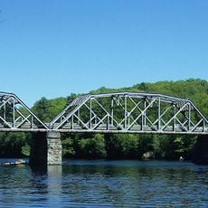
Cumberland County is a county in central Pennsylvania, USA, set in a broad valley between mountain ridges to the north and the Susquehanna River to the east. The county seat is Carlisle, and several other towns are spread across the valley floor and surrounding areas.

The area was settled by Scots-Irish immigrants in the 1730s, and the county was officially formed in 1750 from Lancaster County. During the Civil War, Confederate forces pushed into the region in 1863, reaching as far as Carlisle before being turned back.

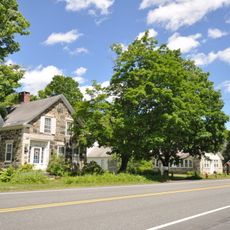
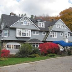
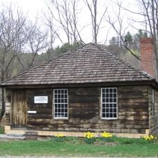
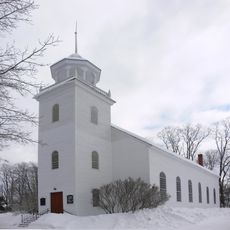
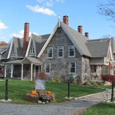
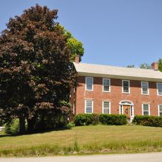
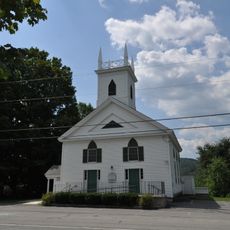
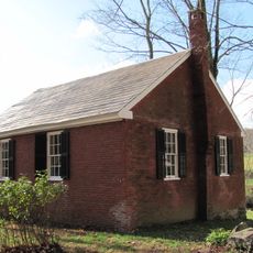
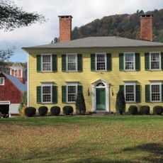
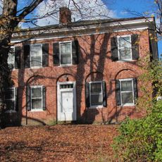
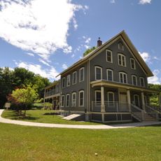
Cumberland County sits in the Cumberland Valley, one of the most fertile farming areas in the eastern part of the country, and agriculture has shaped the look of the land for centuries. Driving through the area, visitors notice a mix of fields, small towns, and old stone buildings that reflect a long tradition of rural Pennsylvania life.

The county covers a wide valley, so having a car is the most practical way to get between the different towns and points of interest. Carlisle, as the county seat, is a good base since most public services and facilities are concentrated there.

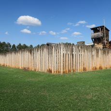
Carlisle is home to the U.S. Army War College, which has been based there since 1951, on grounds that were originally an Army cavalry depot. Before that, the same site housed the Carlisle Indian Industrial School, one of the first government-run boarding schools for Native American children, which operated from 1879 to 1918.

The community of curious travelers

AroundUs brings together thousands of curated places, local tips, and hidden gems, enriched daily by 60,000 contributors worldwide.

Start exploring
GPS coordinates
43.33333,-72.50000
Latest update
March 5, 2026 18:17
Around this place
Fort at Number 4
United States of America

Fort at Number 4

10.3 km
Stellafane Observatory
United States of America

Stellafane Observatory

6.3 km
Cheshire Bridge
United States of America

Cheshire Bridge

10 km
Crown Point Road
United States of America

Crown Point Road

6.5 km
Stone Village Historic District
United States of America

Stone Village Historic District

10.1 km
Hartness House
United States of America

Hartness House

4 km
Eureka Schoolhouse
United States of America

Eureka Schoolhouse

8 km
Union Episcopal Church
United States of America

Union Episcopal Church

11.8 km
Glimmerstone
United States of America

Glimmerstone

10.7 km
Greenwood House
United States of America

Greenwood House

11 km
Upper Falls Covered Bridge
United States of America

Upper Falls Covered Bridge

7.5 km
Jeffrey House
United States of America

Jeffrey House

10 km
Chester Village Historic District
United States of America

Chester Village Historic District

11.2 km
Parker Hill Rural Historic District
United States of America

Parker Hill Rural Historic District

12.3 km
United States of America

Park Street School

4 km
Iron Bridge at Howard Hill Road
United States of America

Iron Bridge at Howard Hill Road

10 km
Gould's Mill Bridge
United States of America

Gould's Mill Bridge

7.7 km
Pollard Block
United States of America

Pollard Block

12.5 km
Southview Housing Historic District
United States of America

Southview Housing Historic District

5.7 km
Charlestown Main Street Historic District
United States of America

Charlestown Main Street Historic District

12.4 km
Farwell School
United States of America

Farwell School

9.4 km
Weathersfield Center Historic District
United States of America

Weathersfield Center Historic District

5.7 km
North Charlestown Historic District
United States of America

North Charlestown Historic District

9.4 km
Spencer Hollow School
United States of America

Spencer Hollow School

6.8 km
Gen. Lewis R. Morris House
United States of America

Gen. Lewis R. Morris House

8.7 km
Lockwood-Boynton House
United States of America

Lockwood-Boynton House

2.2 km
Augustus and Laura Blaisdell House
United States of America

Augustus and Laura Blaisdell House

10.4 km
Springfield Downtown Historic District
United States of America

Springfield Downtown Historic District

3.8 km
Show the full map
Reviews
Share your experience

No review yet

Discussions
Start a discussion...

No discussion yet

« Cumberland County - County administrative center in Pennsylvania, United States » is provided by Around Us (aroundus.com). Images and texts are derived from Wikimedia project under a Creative Commons license. You are allowed to copy, distribute, and modify copies of this page, under the conditions set by the license, as long as this note is clearly visible.

Discover hidden gems everywhere you go!

From secret cafés to breathtaking viewpoints, skip the crowded tourist spots and find places that match your style. Our app makes it easy with voice search, smart filtering, route optimization, and insider tips from travelers worldwide. Download now for the complete mobile experience.

Around Us App Screenshot

A unique approach to discovering new places

Le Figaro

All the places worth exploring

France Info

A tailor-made excursion in just a few clicks

20 Minutes

Around Us
Travel Guide & Maps
Download

Send to your phone

QR Code
1

Open the camera app on your mobile.

2

Point at the QR code with your camera. A notification will appear.

3

Tap the notification to open the link.