Enable Location

We need your location to show you interesting places around you

Discover nearby places

Find interesting locations and hidden gems around you

Precise directions

Get accurate directions and distances to places

Your location is never shared with other users. It's only used when you tap the location button.

Dart's Mill Historic District

Log in to your account

Start exploring — it's free

Trusted by 61,590 travelers worldwide

Continue with Google
Continue with Apple
or

We will send you a code to connect

By continuing, you accept our Terms and Conditions and our Privacy Policy

Check your inbox

We've sent a pincode in your inbox. Please enter the code below.

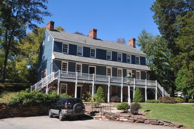
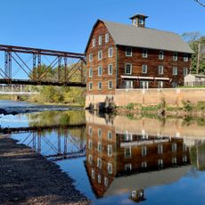
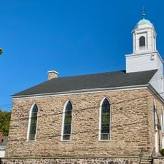
Dart's Mill Historic District, Historic district with water mill in Hunterdon County, New Jersey.

Description

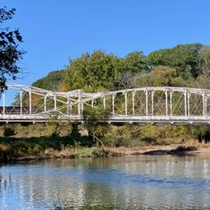
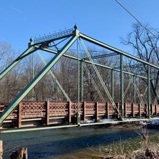
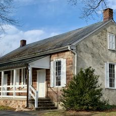
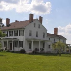
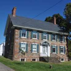
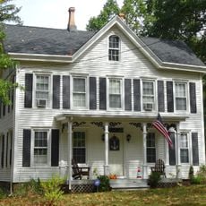
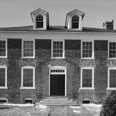
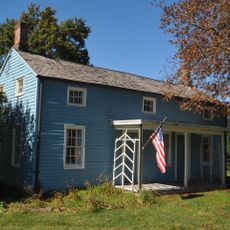
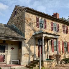
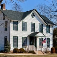
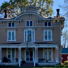
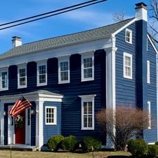
Dart's Mill Historic District is a preserved milling complex in Hunterdon County containing the main mill building, storage structures, and houses scattered along the water's edge. The buildings represent different periods of construction and show how the settlement grew around the water-powered industry.

History

The mill was founded during New Jersey's early settlement period and operated for generations as the heart of local farming activity. It served as a crucial processing hub for grain that farmers brought from the surrounding region.

Culture

The district shows how mills and farming shaped rural life in early New Jersey, with buildings that reveal the connection between water power and community survival. People relied on places like this to process their crops and sustain their livelihoods.

Practical

The site can be explored on your own or through guided tours arranged with the local historical society, which provides information about the buildings and structures. It helps to check ahead about which buildings are open and what walking routes work best for your visit.

Did you know?

The water-powered mill machinery remains mostly intact, showing how the river's force was converted into grinding power for processing grain. You can trace how water turned the wheels that drove the milling equipment inside the building.

Location
GPS coordinates
40.53780,-74.83440
Latest update
December 14, 2025 18:03

AroundUs brings together thousands of curated places, local tips, and hidden gems, enriched daily by 60,000 contributors worldwide. Discover all places nearby (New Jersey).

Around this place
United States of America

Round Valley Reservoir

8.5 km
Northlandz
United States of America

Northlandz

2.6 km
Pennsylvania Railroad 4877
United States of America

Pennsylvania Railroad 4877

11.1 km
Fink-Type Truss Bridge
United States of America

Fink-Type Truss Bridge

9.4 km
Neshanic Mills
United States of America

Neshanic Mills

9.7 km
Neshanic Station Lenticular Truss Bridge
United States of America

Neshanic Station Lenticular Truss Bridge

9.6 km
Rockafellows Mill Bridge
United States of America

Rockafellows Mill Bridge

2.2 km
Flemington Historic District
United States of America

Flemington Historic District

3.9 km
Quaker Meeting House
United States of America

Quaker Meeting House

9.8 km
Huff House and Farmstead
United States of America

Huff House and Farmstead

9.7 km
Case-Dvoor Farmstead
United States of America

Case-Dvoor Farmstead

4.6 km
Whitehouse-Mechanicsville Historic District
United States of America

Whitehouse-Mechanicsville Historic District

11.3 km
John Reading Farmstead
United States of America

John Reading Farmstead

1.4 km
Lansdown
United States of America

Lansdown

9.8 km
Raritan-Readington South Branch Historic District
United States of America

Raritan-Readington South Branch Historic District

1.4 km
South Branch Schoolhouse
United States of America

South Branch Schoolhouse

11.4 km
Charles Eversole House
United States of America

Charles Eversole House

8.3 km
Readington Village Historic District
United States of America

Readington Village Historic District

8.9 km
Neshanic Reformed Church
United States of America

Neshanic Reformed Church

10.7 km
Quakertown Methodist Episcopal Church
United States of America

Quakertown Methodist Episcopal Church

9.6 km
Clover Hill Reformed Church
United States of America

Clover Hill Reformed Church

7.1 km
Quakertown Historic District
United States of America

Quakertown Historic District

9.8 km
Reaville Historic District
United States of America

Reaville Historic District

6.7 km
Neshanic Station Historic District
United States of America

Neshanic Station Historic District

9.3 km
Clover Hill Historic District
United States of America

Clover Hill Historic District

7.1 km
Neshanic Historic District
United States of America

Neshanic Historic District

10.6 km
Pittstown Historic District
United States of America

Pittstown Historic District

11.6 km
Lebanon Historic District
United States of America

Lebanon Historic District

11.4 km
Show the full map
« Dart's Mill Historic District - Historic district with water mill in Hunterdon County, New Jersey » is provided by Around Us (aroundus.com). Images and texts are derived from Wikimedia project under a Creative Commons license. You are allowed to copy, distribute, and modify copies of this page, under the conditions set by the license, as long as this note is clearly visible.

Discover hidden gems everywhere you go!

From secret cafés to breathtaking viewpoints, skip the crowded tourist spots and find places that match your style. Our app makes it easy with voice search, smart filtering, route optimization, and insider tips from travelers worldwide. Download now for the complete mobile experience.

Around Us App Screenshot

A unique approach to discovering new places

Le Figaro

All the places worth exploring

France Info

A tailor-made excursion in just a few clicks

20 Minutes

Around Us
Travel Guide & Maps
Download

Send to your phone

QR Code
1

Open the camera app on your mobile.

2

Point at the QR code with your camera. A notification will appear.

3

Tap the notification to open the link.