
Ennis Archaeological Site, archaeological site U.S. state of Indiana
Location: Owen County
Location: Monroe County
GPS coordinates: 39.23830,-86.68420
Latest update: March 4, 2025 12:16
McCormick's Creek State Park
7.3 km
Griffy Lake
14.8 km
Morgan House
15 km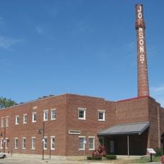
Johnson's Creamery
14.8 km
Maple Grove Road Rural Historic District
10.6 km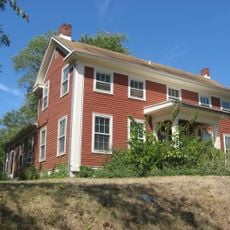
Elias Abel House
14.5 km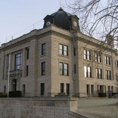
Owen County Courthouse
7.4 km
Second Baptist Church
14.7 km
Cochran–Helton–Lindley House
14.7 km
David Enoch Beem House
9.3 km
John L. Nichols House
14.8 km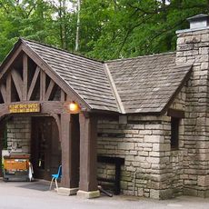
McCormick's Creek State Park Entrance and Gatehouse
6.3 km
Steele Dunning Historic District
14.9 km
Allison-Robinson House
8.7 km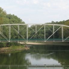
Secrest Ferry Bridge
10.5 km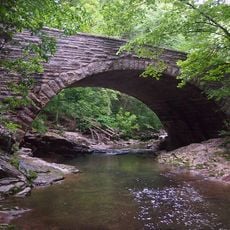
Stone Arch Bridge over McCormick's Creek
6.4 km
Daniel Stout House
11.5 km
Spencer Public Library
8.4 km
Secrest-Wampler House
8.8 km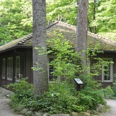
CCC Recreation Building-Nature Museum
7 km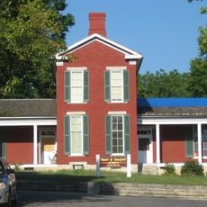
Blair-Dunning House
14.9 km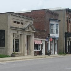
Gosport Historic District
12.5 km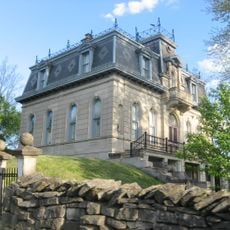
Matthews Stone Company Historic District
5.6 km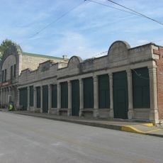
Stinesville Commercial Historic District
7.3 km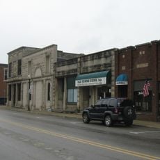
Ellettsville Downtown Historic District
5.1 km
Dr. H.G. Osgood House
12.6 km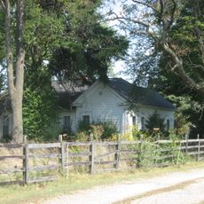
Leroy Mayfield House
9.6 km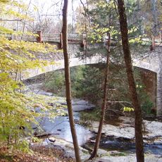
McCormick's Creek Bridge
6.3 kmReviews
Visited this place? Tap the stars to rate it and share your experience / photos with the community! Try now! You can cancel it anytime.
Discover hidden gems everywhere you go!
From secret cafés to breathtaking viewpoints, skip the crowded tourist spots and find places that match your style. Our app makes it easy with voice search, smart filtering, route optimization, and insider tips from travelers worldwide. Download now for the complete mobile experience.

A unique approach to discovering new places❞
— Le Figaro
All the places worth exploring❞
— France Info
A tailor-made excursion in just a few clicks❞
— 20 Minutes