
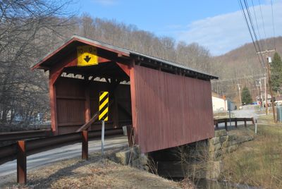
Fish Creek Covered Bridge, in Hundred, West Virginia, listed on the NRHP in West Virginia
Location: Wetzel County
Inception: 1881
GPS coordinates: 39.67220,-80.45250
Latest update: September 23, 2025 16:46
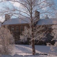
Fairmont Senior High School
33.3 km
Ryerson Station State Park
23.4 km
Mason and Dixon Survey Terminal Point
29.1 km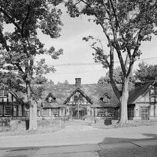
High Gate
33.8 km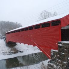
Barrackville Covered Bridge
30.6 km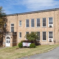
Dunbar School
33.4 km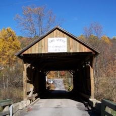
King Covered Bridge
18.1 km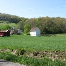
Richard T. Foley Site
18.7 km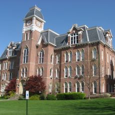
Miller Hall
33.9 km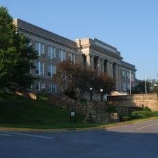
Fairmont Normal School Administration Building
32.7 km
Fisher Site
32.1 km
Cameron Downtown
19.7 km
Shinnston Historic District
33.4 km
Hamilton-Ely Farmstead
29.8 km
Wilson School
19.2 km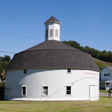
Hamilton Round Barn
19.9 km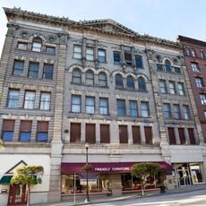
Jacobs-Hutchinson Block
33.7 km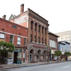
Fairmont Downtown Historic District
33.8 km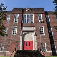
Thomas C. Miller Public School
33.6 km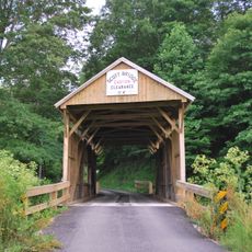
Scott Covered Bridge
26.3 km
Thomas W. Fleming House
33.9 km
George West Gordon Farm
32.2 km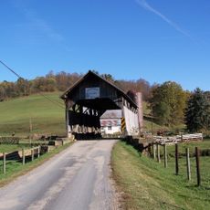
Shriver Covered Bridge
24.9 km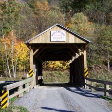
Nettie Woods Covered Bridge
28.3 km
Waynesburg Historic District
33.8 km
Mannington Historic District
18.5 km
Colonial Apartments
32.4 km
Thomas Kent, Jr., Farm
33.1 kmReviews
Visited this place? Tap the stars to rate it and share your experience / photos with the community! Try now! You can cancel it anytime.
Discover hidden gems everywhere you go!
From secret cafés to breathtaking viewpoints, skip the crowded tourist spots and find places that match your style. Our app makes it easy with voice search, smart filtering, route optimization, and insider tips from travelers worldwide. Download now for the complete mobile experience.

A unique approach to discovering new places❞
— Le Figaro
All the places worth exploring❞
— France Info
A tailor-made excursion in just a few clicks❞
— 20 Minutes