
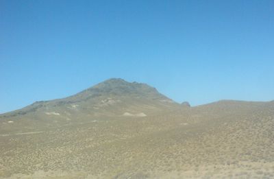
Tamdytau Mountains, سلسلة جبلية في أوزبكستان
Location: Tamdy District
Elevation above the sea: 726 m
GPS coordinates: 41.58333,64.50000
Latest update: April 23, 2025 11:05
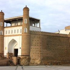
Ark of Bukhara
201.1 km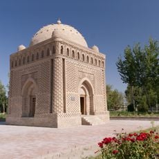
Samanid Mausoleum
201.3 km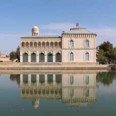
Sitori-i-Mokhi Khosa palace
197.2 km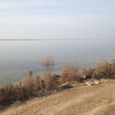
Tudakul
199.7 km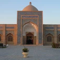
Bahoutdin Architectural Complex
198.5 km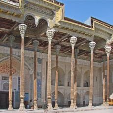
Bolo Haouz Mosque
201.1 km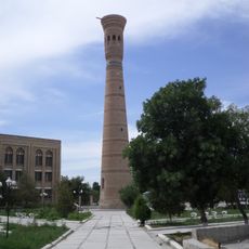
Vobkent minaret
174.1 km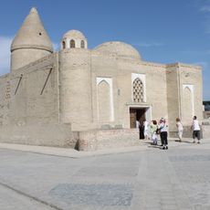
Mousoleum Chasma Ayub
201.1 km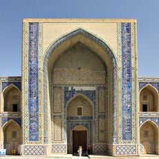
Ulugh beg Madrassah
201.2 km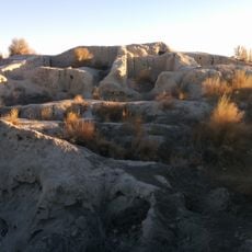
Varahsha
194.9 km
Mirza-Charbagh Residence
175.4 km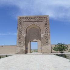
Rabati Malik Caravanserai
171.5 km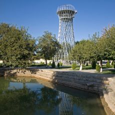
Shukhov Tower
201.1 km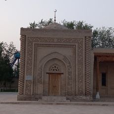
Mir-Sayid Bakhrom Mausoleum
176 km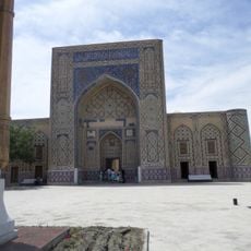
Ulugh-Beg madrasah in Gijduvan
165.5 km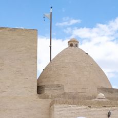
Kiz bibi
195.6 km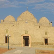
Мечеть Деггарон
164.7 km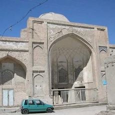
Hoja Zayniddin Mosque and Khanqah
201.1 km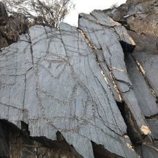
Sarmishsay Rock Art
171 km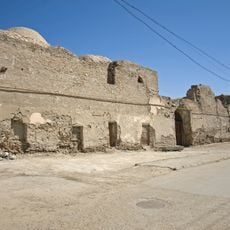
Saroyi Tash Madrasah
201.2 km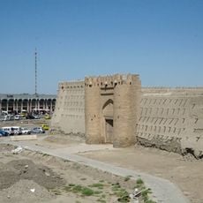
Talipoch Gate
201.1 km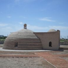
Malik Sardoba
171.6 km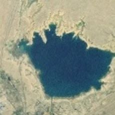
Kuymazar reservoir
192.5 km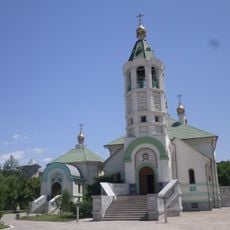
Church of St. Sergiuy Radonezhkogo in Navoi
182.1 km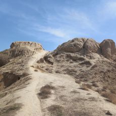
Burquttepa
177.6 km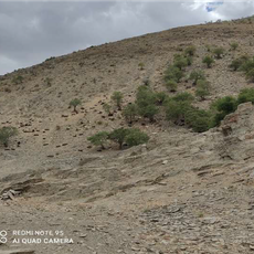
State wildlife sanctuary "Aktau"
165 km
State wildlife sanctuary "Kara-Kir"
165.1 km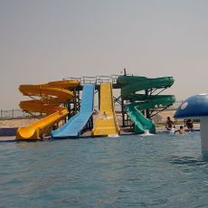
Akvapark
179.7 kmReviews
Visited this place? Tap the stars to rate it and share your experience / photos with the community! Try now! You can cancel it anytime.
Discover hidden gems everywhere you go!
From secret cafés to breathtaking viewpoints, skip the crowded tourist spots and find places that match your style. Our app makes it easy with voice search, smart filtering, route optimization, and insider tips from travelers worldwide. Download now for the complete mobile experience.

A unique approach to discovering new places❞
— Le Figaro
All the places worth exploring❞
— France Info
A tailor-made excursion in just a few clicks❞
— 20 Minutes