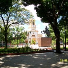
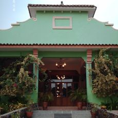
Puerto Ayacucho, Administrative center in Amazonas region, Venezuela
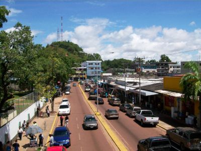
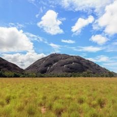
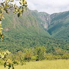
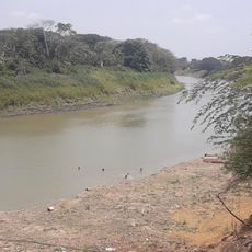
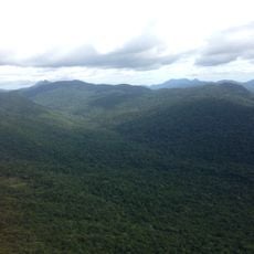
Puerto Ayacucho is an administrative city in Venezuela's Amazonas region that stretches along the Orinoco River's banks. The city sits near the Atures Rapids, which interrupt navigation on this major South American waterway.
Engineer Santiago Aguerrevere founded the city in 1928 as a transportation hub to replace San Fernando de Atabapo as the region's administrative center. Its establishment was part of efforts to improve control and access in the Amazonian territory.
The Ethnological Museum showcases objects and knowledge about indigenous peoples of the region, including the Yanomami, Panare, Piaroa, and Guajibo communities. Visitors can learn about their traditional ways of life and crafts through displays and exhibits.
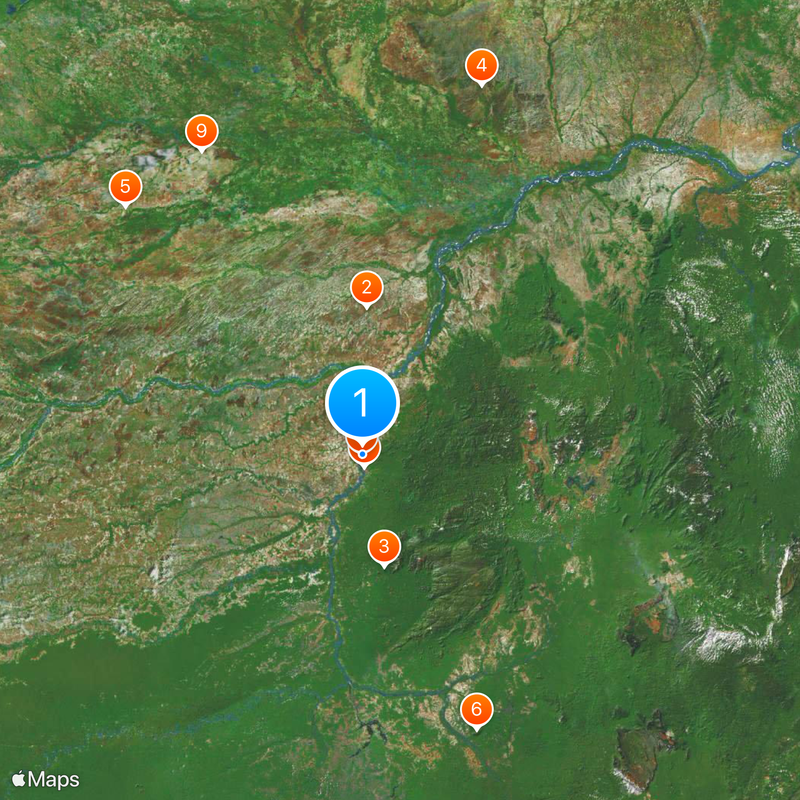
Travelers can reach the city via Cacique Aramare Airport with regular Conviasa flights or through two major highways connecting to central Venezuela. Visit during the dry season when road conditions are at their best.
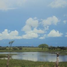
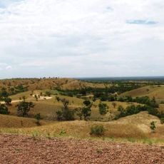
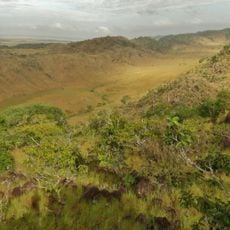
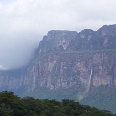
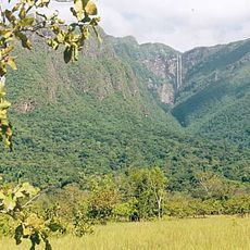
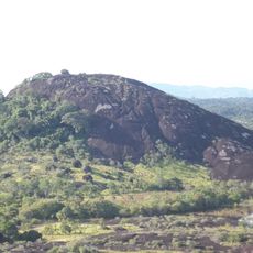
A natural formation called Tobogan de la Selva in the surrounding rainforest creates a water slide on smooth granite rock surfaces. This unexpected natural playground often goes overlooked by visitors exploring the area.
Location: Municipio Autónomo Atures
Inception: 1924
Elevation above the sea: 110 m
GPS coordinates: 5.65761,-67.60439
Latest update: December 20, 2025 12:29
Santos Luzardo National Park
117.6 km
Cerro Autana
91 km
Aguaro-Guariquito National Park
308.9 km
Hato El Cedral
274.1 km
Yapacana National Park
237.6 km
Piedra La Tortuga Natural Monument
10.2 km
Casa sobre La Piedra
1.5 km
Hato El Frío
274.2 km
Yutaje Falls
161.7 km
Cathedral of Our Lady of Mount Carmel
249.2 km
Estadio Antonio José de Sucre
2 km
Galeras del Cinaruco
115.2 km
Cerro Yaví Natural Monument
188.4 km
El Socorro de Portuguesa
314.7 km
Cathedral of Mary Help of Christians, Puerto Ayacucho
2.8 km
Gran Hotel Amazonas
2.8 km
Cerros Camani y Morrocoy Natural Monument
148.4 km
Parú-Euaja Massif Natural Monument
265.1 km
Cuao-Sipapo y Moriche Massif Natural Monument
68.1 km
Monumento Natural Cerro Autana
91 km
Sipapo Forest Reserve
56.5 km
Parguaza Forest Reserve
77.5 km
Serranía Yutajé y Coro-coro Natural Monument
156.5 km
Piedra La Tortuga
10.3 km
Sierra Maigualida Natural Monument
249 km
Piedra Pintada Natural Monument
14.8 km
Cerro Guanay Natural Monument
138.1 km
La Tortuga Arrau Wildlife Refuge
108.6 kmVisited this place? Tap the stars to rate it and share your experience / photos with the community! Try now! You can cancel it anytime.
Discover hidden gems everywhere you go!
From secret cafés to breathtaking viewpoints, skip the crowded tourist spots and find places that match your style. Our app makes it easy with voice search, smart filtering, route optimization, and insider tips from travelers worldwide. Download now for the complete mobile experience.
A unique approach to discovering new places❞
— Le Figaro
All the places worth exploring❞
— France Info
A tailor-made excursion in just a few clicks❞
— 20 Minutes