Lai Châu, Mountain province in northwest Vietnam
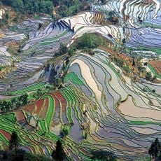
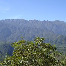
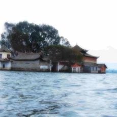
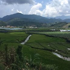
Lai Châu is a province in northwest Vietnam that stretches along steep ridges and deep valleys carved by tributaries of the Black River. The landscape consists mainly of dense forests, terraced fields, and scattered villages clinging to slopes.
The region belonged for centuries to a network of autonomous Thai principalities that came under French control in the 1880s. After France withdrew in 1954, the area was integrated into the Democratic Republic of Vietnam and later reorganized.
White Thai women wear traditional dress with intricate patterns and silver jewelry during daily work in the rice paddies. Several minorities live in wooden stilt houses that adapt to the mountain slopes, where families still produce fabrics on handmade looms.
Long-distance buses depart daily from Hanoi's old quarter through winding mountain roads, with journeys lasting a full night. Travelers should bring warm clothing, as the elevation brings cooler temperatures even in summer.
Hot mineral springs emerge from the ground at several locations, forming natural pools where locals bathe and travelers can relax. Water temperature varies by spring, giving each spot its own character.
The community of curious travelers
AroundUs brings together thousands of curated places, local tips, and hidden gems, enriched daily by 60,000 contributors worldwide.