
Kim Thành, rural district of Hai Duong, Vietnam
Location: Hải Dương
Elevation above the sea: 2 m
GPS coordinates: 20.96220,106.51025
Latest update: March 9, 2025 05:54

Ha Long Bay
58.3 km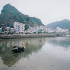
Cat Ba Island
54 km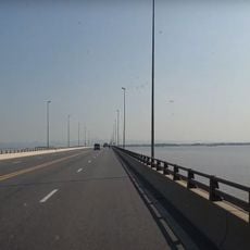
Cầu Tân Vũ – Lạch Huyện
36.8 km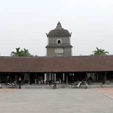
Dâu pagoda
49.4 km
Phật Tích Temple
52.6 km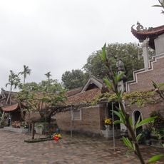
Chùa Vĩnh Nghiêm
34.1 km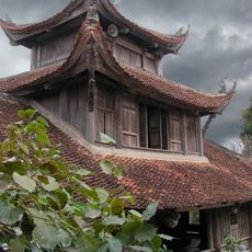
Bút Tháp Temple
51.9 km
Ham Long Buddhist temple
46.8 km
Haiphong Opera House
21.3 km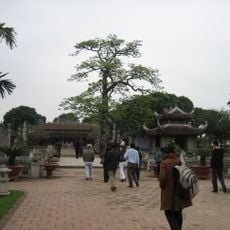
Temple of Literature, Mao Điền
33.8 km
Hoang Van Thu Bridge
20 km
Dragon's Run
55.9 km
Lạch Tray Stadium
22.3 km
Ecopark
59.6 km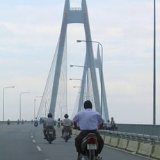
Bính Bridge
19 km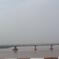
Phu Luong Bridge
16.3 km
Sacred Heart Cathedral of Thái Bình
59.3 km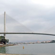
Bai Chay Bridge
57.8 km
Mount Yen Tu
29.5 km
Chùa Keo temple
54.4 km
Hai Phòng Cathedral
21 km
Ocean Park Ha Long
56.1 km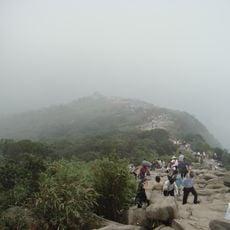
The Complex of Yen Tu Monuments and Landscape
25.2 km
Vo Nguyen Giap Bridge
24.9 km
Tuan Chau Aquarium
50.1 km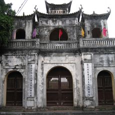
Temple of Literature of Hung Yen
58.5 km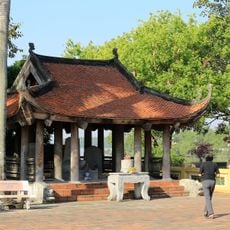
Khu Di tích lịch sử Quốc gia đặc biệt Bạch Đằng
27.9 km
Yen Lap Lake
42.2 kmReviews
Visited this place? Tap the stars to rate it and share your experience / photos with the community! Try now! You can cancel it anytime.
Discover hidden gems everywhere you go!
From secret cafés to breathtaking viewpoints, skip the crowded tourist spots and find places that match your style. Our app makes it easy with voice search, smart filtering, route optimization, and insider tips from travelers worldwide. Download now for the complete mobile experience.

A unique approach to discovering new places❞
— Le Figaro
All the places worth exploring❞
— France Info
A tailor-made excursion in just a few clicks❞
— 20 Minutes