
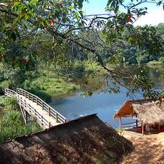
Mỹ Đức, Landgemeinde in Vietnam
Location: Hà Tiên
Elevation above the sea: 2 m
GPS coordinates: 10.41278,104.46500
Latest update: March 8, 2025 01:02
Kirirom National Park
109.7 km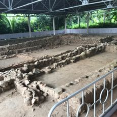
Óc Eo
79 km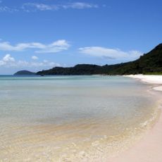
Phu Quoc National Park
57.2 km
Preah Monivong National Park
68.9 km
Phnom Chisor
94.4 km
Ream National Park
80.7 km
Phnom Tamao Wildlife Rescue Centre
105.4 km
Angkor Borei and Phnom Da
84 km
Kep National Park
20.1 km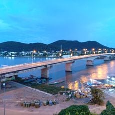
To Chau Bridge
4.6 km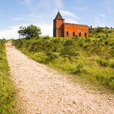
Bokor church
54 km
Queen of Peace Cathedral, Long Xuyên
106.8 km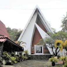
St. Michael's Church, Sihanoukville
106.7 km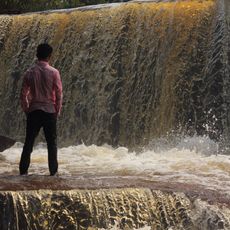
Kbal Chhay Waterfall
98.1 km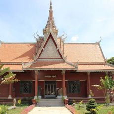
Angkor Borei Museum
85.6 km
Phnom Sorsia
28.9 km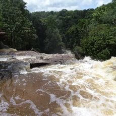
Povokvil Waterfalls
51.4 km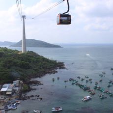
Hòn Thơm cable car
66 km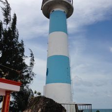
Dương Đông Lighthouse
59.8 km
Hun Sen beach
105.4 km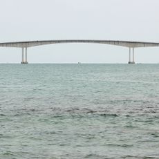
Koh Pous Bridge
109.3 km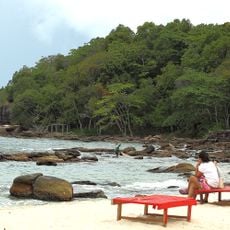
Serendipity Beach
105.6 km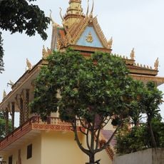
Pagoda Leu
106.1 km
Ochheuteal Beach
105.3 km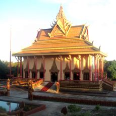
Wat Ream
93.4 km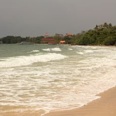
Hawaii beach
108.7 km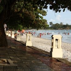
Independence beach
107.8 km
VOR/DME at Sihanouk International Airport
92.2 kmReviews
Visited this place? Tap the stars to rate it and share your experience / photos with the community! Try now! You can cancel it anytime.
Discover hidden gems everywhere you go!
From secret cafés to breathtaking viewpoints, skip the crowded tourist spots and find places that match your style. Our app makes it easy with voice search, smart filtering, route optimization, and insider tips from travelers worldwide. Download now for the complete mobile experience.

A unique approach to discovering new places❞
— Le Figaro
All the places worth exploring❞
— France Info
A tailor-made excursion in just a few clicks❞
— 20 Minutes