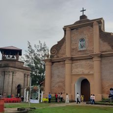
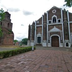
Kalinga-Apayao, Former province in northern Luzon, Philippines
Kalinga-Apayao was a former province in the mountainous regions of northern Luzon, encompassing rivers, forests, and agricultural areas that sustained several indigenous communities. The territory featured challenging terrain with diverse landscapes and numerous scattered settlements across its expanse.
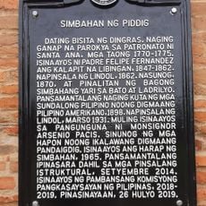
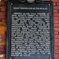
The province was created in 1965 following the division of Mountain Province and remained as a single entity until 1995, when it split into two separate provinces called Kalinga and Apayao. This separation resulted from administrative changes that reorganized the region's governance structure.
The Kalinga people developed distinctive weaving and metalwork traditions that connected closely to their community rituals and social status. These crafts remain visible in daily life and at local markets, where artisans continue these ancestral practices.
The mountainous terrain requires careful planning, as transportation networks are limited and roads can be challenging to navigate. Visitors should prepare for longer travel times and variable weather conditions that may affect accessibility.
The territorial boundaries were deliberately redrawn during the Marcos era to resemble the profile of the sitting president when viewed on a map. This unusual geographic manipulation served as a visual expression of political authority during that period.
The community of curious travelers
AroundUs brings together thousands of curated places, local tips, and hidden gems, enriched daily by 60,000 contributors worldwide.