Vila Real de Santo António
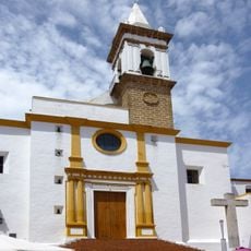
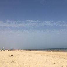
Vila Real de Santo António, Port city in eastern Algarve, Portugal
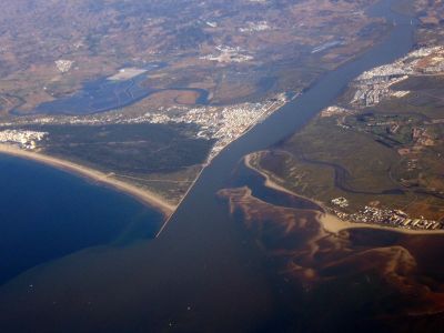
Vila Real de Santo António sits at the mouth of the Guadiana River with straight streets and right-angled corners arranged in a geometric grid pattern. This systematic layout defines the center and makes the city immediately recognizable.
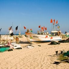
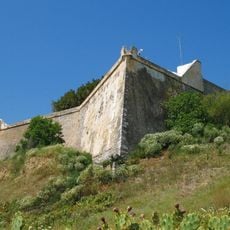
Founded in 1774 by royal decree of King José I, the city emerged as a strategic outpost to control fishing waters and border activities with Spain. The establishment was part of a deliberate expansion of Portuguese influence in this border region.
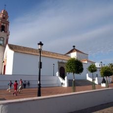
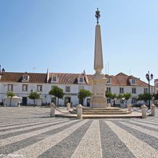
The central Praça Marquês de Pombal displays an obelisk surrounded by whitewashed houses and orange trees, reflecting Portuguese urban design from the 1770s. This layout gives a sense of how people once valued order and elegance in their cities.
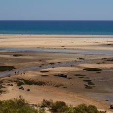
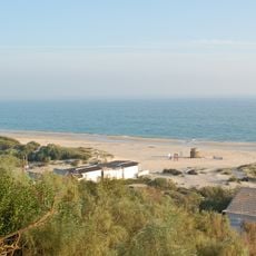
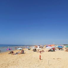
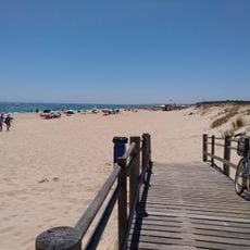
The city connects to Spain via a suspension bridge and regular ferry service to Ayamonte, while trains link to larger towns in central Algarve. The center is flat and easy to explore on foot, with clear streets that make orientation straightforward.
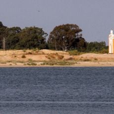
The municipality consists of two separate geographical sections, with the eastern part containing the city and the western section forming an exclave within Portugal. This unusual division resulted from historical border agreements.
Location: Faro
Location: Algarve
Inception: January 1, 1774
Shares border with: Tavira, Castro Marim, Ayamonte
Address: Vila Real de Santo António, Portugal
Website: https://cm-vrsa.pt
GPS coordinates: 37.20000,-7.41667
Latest update: December 7, 2025 10:03
Praia de Cacela Velha
12.3 km
Castle of Castro Marim
3 km
Praia Verde
6.3 km
Castle of Ayamonte
3 km
Iglesia de Nuestra Señora de las Angustias
1.6 km
Praia de Monte Gordo
3.8 km
Praia da Manta Rota
9.9 km
Sapal de Castro Marim e Vila Real de Santo António Nature Reserve
2.7 km
Vila Real de Santo António Lighthouse
1.5 km
Iglesia de Nuestro Señor y Salvador
2.9 km
Saint Sebastian Fortress
3 km
Fortress of Cacela
12.4 km
Capilla de Nuestra Señora del Carmen (Ayamonte)
1.2 km
Palacio del Marqués de Ayamonte
2.1 km
Capilla del Socorro (Ayamonte)
2.8 km
Playa de Santo António
3 km
Baluarte de las Angustias
1.6 km
Antiguo Convento de la Merced
1.8 km
Núcleo histórico pombalino de Vila Real de Santo António
611 m
Monumento a la Virgen de las Angustias
1.9 km
Casa consistorial de Ayamonte
1.7 km
Sports Complex of Vila Real de Santo António
1.3 km
Igreja Matriz de Nossa Senhora dos Mártires
3.1 km
Tholosgrab von Marcella
12.5 km
Forno romano de Olhos de São Bartolomeu
5.7 km
Ermida de Santo António
2.7 km
Igreja de Santiago
3.1 km
Câmara Municipal de Castro Marim
3 kmVisited this place? Tap the stars to rate it and share your experience / photos with the community! Try now! You can cancel it anytime.
Discover hidden gems everywhere you go!
From secret cafés to breathtaking viewpoints, skip the crowded tourist spots and find places that match your style. Our app makes it easy with voice search, smart filtering, route optimization, and insider tips from travelers worldwide. Download now for the complete mobile experience.
A unique approach to discovering new places❞
— Le Figaro
All the places worth exploring❞
— France Info
A tailor-made excursion in just a few clicks❞
— 20 Minutes