Enable Location

We need your location to show you interesting places around you

Discover nearby places

Find interesting locations and hidden gems around you

Precise directions

Get accurate directions and distances to places

Your location is never shared with other users. It's only used when you tap the location button.

Vilarinho de Samardã

Log in to your account

Start exploring — it's free

Trusted by 62,080 travelers worldwide

Continue with Google
Continue with Apple
or

We will send you a code to connect

By continuing, you accept our Terms and Conditions and our Privacy Policy

Check your inbox

We've sent a pincode in your inbox. Please enter the code below.

Vilarinho de Samardã

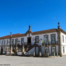
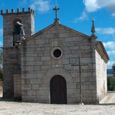
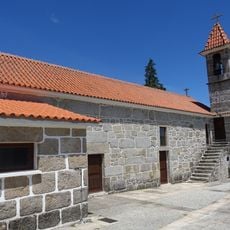
Vilarinho de Samardã, Rural village in Vila Real district, Portugal

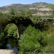
Vilarinho de Samardã is a village on the right bank of the Corgo River, positioned east of the Serra do Alvão mountains. The settlement spreads across rolling terrain shaped by water and hills that form its natural boundaries.

The village operated as an independent administrative unit until 2013, when it merged with Adoufe during a major reorganization of Portuguese municipalities. This consolidation was part of a nationwide restructuring that affected many small communities.

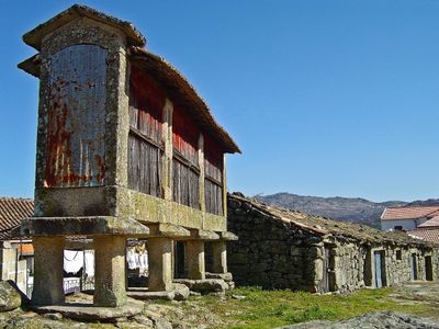
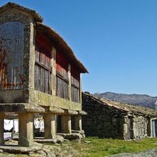
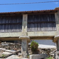
Local families maintain deep ties to agricultural work, especially vineyard cultivation, which has shaped life here for generations. These farming practices continue to define how people spend their days and what they see across the landscape.

The village is reachable by roads connecting it to Vila Real, situated about 25 minutes from major transportation routes. A car is essentially necessary to visit this place and explore the surrounding countryside.

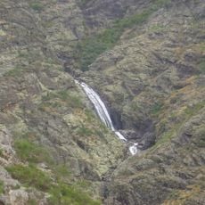
The village sits where river valley meets mountain, with direct access to the Corgo River on one side and Serra do Alvão on the other. This position makes it a natural starting point to explore both types of landscape in a single day.

The community of curious travelers

AroundUs brings together thousands of curated places, local tips, and hidden gems, enriched daily by 60,000 contributors worldwide.

Start exploring
Location
GPS coordinates
41.39154,-7.71555
Latest update
December 14, 2025 11:22
« Vilarinho de Samardã - Rural village in Vila Real district, Portugal » is provided by Around Us (aroundus.com). Images and texts are derived from Wikimedia project under a Creative Commons license. You are allowed to copy, distribute, and modify copies of this page, under the conditions set by the license, as long as this note is clearly visible.

Discover hidden gems everywhere you go!

From secret cafés to breathtaking viewpoints, skip the crowded tourist spots and find places that match your style. Our app makes it easy with voice search, smart filtering, route optimization, and insider tips from travelers worldwide. Download now for the complete mobile experience.

Around Us App Screenshot

A unique approach to discovering new places

Le Figaro

All the places worth exploring

France Info

A tailor-made excursion in just a few clicks

20 Minutes

Around Us
Travel Guide & Maps
Download

Send to your phone

QR Code
1

Open the camera app on your mobile.

2

Point at the QR code with your camera. A notification will appear.

3

Tap the notification to open the link.