Melres, Riverside town in Porto Metropolitan Area, Portugal
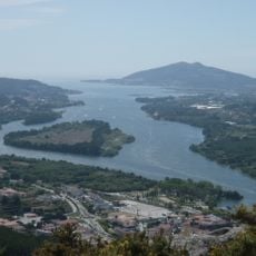
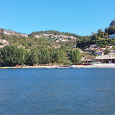
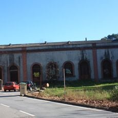
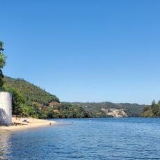
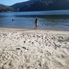
Melres is a small settlement on the southern edge of the Porto metropolitan area, sitting on the north bank of the Douro River within the municipality of Gondomar. It mixes low-density housing with open land, vegetable gardens, and a riverside strip that runs along the water.
Melres was for centuries a farming village known for vineyards and small crops along the Douro valley. In 2013, a national administrative reform merged it with the neighboring parish of Medas, creating the joint parish of Melres e Medas.
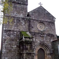
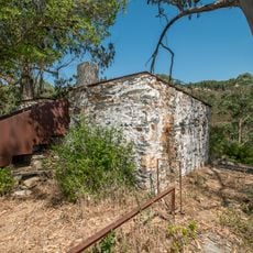
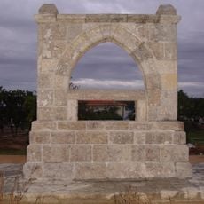
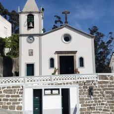
The name Melres is thought to come from an old word linked to honey production, which gives a sense of how the land was once used. Today, visitors can still spot old stone walls and terraced plots that hint at this agricultural past.
Melres is easier to reach by car than by public transport, though bus connections from Gondomar town center are available. Those planning to walk along the riverbank should wear comfortable shoes, as some paths are uneven and unpaved.
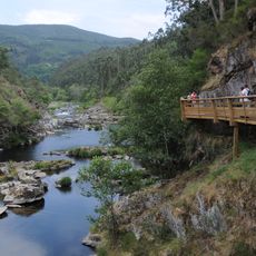
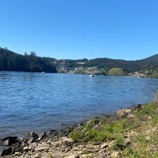
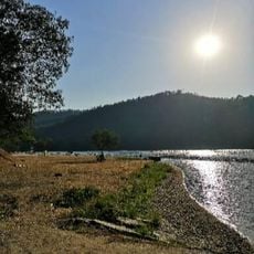
The stretch of the Douro near Melres is calmer than sections closer to Porto, which makes it a spot for kayaking and small boat outings away from the city's busier waterfront. Some old riverside terraces used for grape growing are still visible along the water's edge.
The community of curious travelers
AroundUs brings together thousands of curated places, local tips, and hidden gems, enriched daily by 60,000 contributors worldwide.