Chest opened
+${chestReward.xp} XP
Explorer
NOUVEAU ×${chestReward.collectible.quantity}
tapez pour fermer
Chest locked

Open chests in the app

Around Us is built for your phone — chests unlock when you walk, explore and capture nearby places.

Enable Location

We need your location to show you interesting places around you

Discover nearby places

Find interesting locations and hidden gems around you

Precise directions

Get accurate directions and distances to places

Your location is never shared with other users. It's only used when you tap the location button.

Kama Tamağı

Log in to your account

Start exploring — it's free

Trusted by 72,489 travelers worldwide

Continue with Google
Continue with Apple
or

We will send you a code to connect

By continuing, you accept our Terms and Conditions and our Privacy Policy

Check your inbox

We've sent a pincode in your inbox. Please enter the code below.

Discussion Reviews 1 Photos
11.9k Popularity

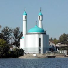
Kama Tamağı, Urban settlement at Volga-Kama rivers confluence, Tatarstan, Russia.

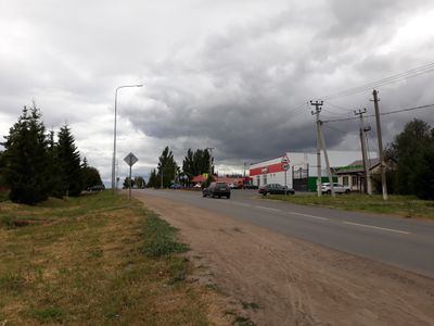
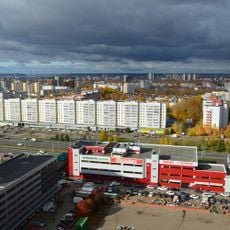
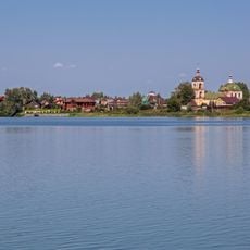
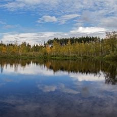
Kama Tamağı is an urban settlement positioned at the meeting point of the Volga and Kama Rivers in the Republic of Tatarstan. The town spreads along the riverbanks at about 134 meters above sea level, featuring low-rise buildings and open spaces typical of such regional centers.

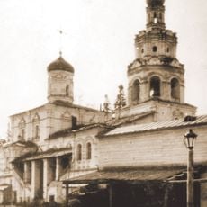
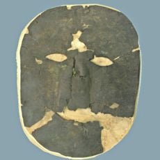
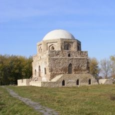
The settlement started around 1650 as a key point for river travel and trade connecting different regions together. This early role shaped how the town developed over the centuries that followed.

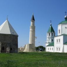
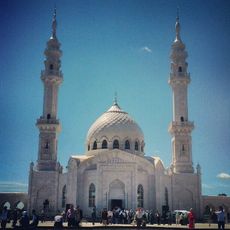
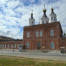
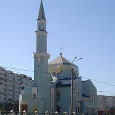
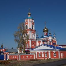
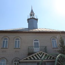
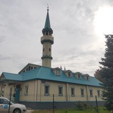
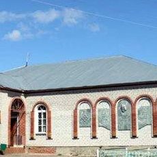
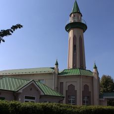
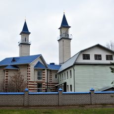
The settlement keeps both Tatar and Russian customs alive through local celebrations and community gatherings. You can see how these traditions shape daily life and the way people interact in this region.

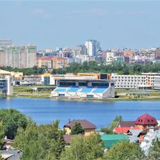
The settlement sits about 117 kilometers from Kazan and serves as the administrative center for the Kamsko-Ustyinsky District. Visitors will find basic local services and facilities needed for exploring this part of the region.

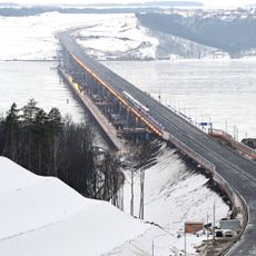
The settlement sits at a geographically special spot where two of Europe's largest rivers meet and historical trade routes cross. This river junction still shapes the place's character today.

The community of curious travelers

AroundUs brings together thousands of curated places, local tips, and hidden gems, enriched daily by 60,000 contributors worldwide.

Start exploring
Location
Городское поселение посёлок городского типа Камское Устье
Inception
1650
Elevation above the sea
134 m
GPS coordinates
55.20083,49.26694
Latest update
December 7, 2025 20:48
Around this place
Bolghar Gord
Russian Federation

Bolghar Gord

28.3 km
Volzhsko-Kamsky Nature Reserve
Russian Federation

Volzhsko-Kamsky Nature Reserve

4.4 km
Мост через Волгу (М12)
Russian Federation

Мост через Волгу (М12)

44.8 km
White Mosque
Russian Federation

White Mosque

29.2 km
Gorki, Kazan
Russian Federation

Gorki, Kazan

61.2 km
Yurievskaya Cave
Russian Federation

Yurievskaya Cave

4.1 km
Gorki-Ametievo forest park
Russian Federation

Gorki-Ametievo forest park

62.5 km
Bolgar Historical and Archaeological Complex
Russian Federation

Bolgar Historical and Archaeological Complex

28.1 km
Ascension Monastery, Kazan
Russian Federation

Ascension Monastery, Kazan

60.8 km
Arkhiyereyskoye Lake
Russian Federation

Arkhiyereyskoye Lake

39.8 km
Russian Federation

Идел буе базары (Казан)

61.1 km
Syukeyevo Caves
Russian Federation

Syukeyevo Caves

19.2 km
Russian Federation

Улица Владимира Кулагина (Казань)

61 km
Gipsy-1
Russian Federation

Gipsy-1

4.2 km
Chistoe Lake
Russian Federation

Chistoe Lake

44.9 km
Mokhovoye Lake
Russian Federation

Mokhovoye Lake

45.6 km
Собор Николая Чудотворца (Лаишево)
Russian Federation

Собор Николая Чудотворца (Лаишево)

28 km
Rowing center in Kazan
Russian Federation

Rowing center in Kazan

62.6 km
Xözäyfä Mosque
Russian Federation

Xözäyfä Mosque

61.5 km
Танкеевский могильник
Russian Federation

Танкеевский могильник

45.4 km
Церковь Троицы Живоначальной (Тетюши)
Russian Federation

Церковь Троицы Живоначальной (Тетюши)

39.6 km
Utar Mosque
Russian Federation

Utar Mosque

58.1 km
Ğädel Mosque
Russian Federation

Ğädel Mosque

59.6 km
Black chamber
Russian Federation

Black chamber

27.9 km
Педер Хузангай музее
Russian Federation

Педер Хузангай музее

61.1 km
Tınıçlıq Mosque
Russian Federation

Tınıçlıq Mosque

56.3 km
Rizvan Mosque
Russian Federation

Rizvan Mosque

61.2 km
Şamil Mosque, Qazan
Russian Federation

Şamil Mosque, Qazan

59 km
Show the full map
Reviews
Share your experience

No review yet

Discussions
Start a discussion...

No discussion yet

« Kama Tamağı - Urban settlement at Volga-Kama rivers confluence, Tatarstan, Russia » is provided by Around Us (aroundus.com). Images and texts are derived from Wikimedia project under a Creative Commons license. You are allowed to copy, distribute, and modify copies of this page, under the conditions set by the license, as long as this note is clearly visible.

Discover hidden gems everywhere you go!

From secret cafés to breathtaking viewpoints, skip the crowded tourist spots and find places that match your style. Our app makes it easy with voice search, smart filtering, route optimization, and insider tips from travelers worldwide. Download now for the complete mobile experience.

Around Us App Screenshot

A unique approach to discovering new places

Le Figaro

All the places worth exploring

France Info

A tailor-made excursion in just a few clicks

20 Minutes

Around Us
Travel Guide & Maps
Download

Send to your phone

QR Code
1

Open the camera app on your mobile.

2

Point at the QR code with your camera. A notification will appear.

3

Tap the notification to open the link.