Enable Location

We need your location to show you interesting places around you

Discover nearby places

Find interesting locations and hidden gems around you

Precise directions

Get accurate directions and distances to places

Your location is never shared with other users. It's only used when you tap the location button.

Log in to your account

Start exploring — it's free

Trusted by 63,050 travelers worldwide

Continue with Google
Continue with Apple
or

We will send you a code to connect

By continuing, you accept our Terms and Conditions and our Privacy Policy

Check your inbox

We've sent a pincode in your inbox. Please enter the code below.

Krasnoarmeysky District
Discussion Reviews Photo
15.1k Popularity

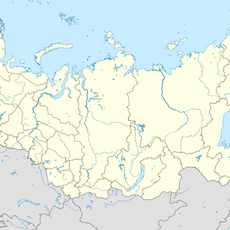
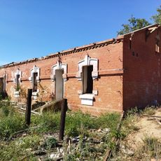
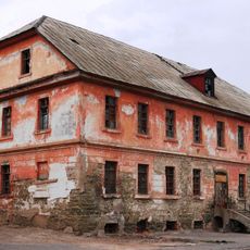
Krasnoarmeysky District, Administrative district in Volgograd, Russia

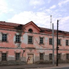
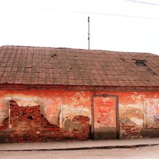
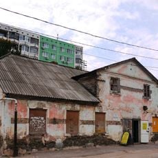
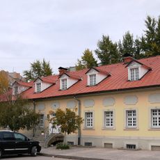
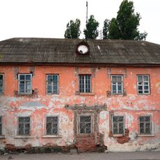
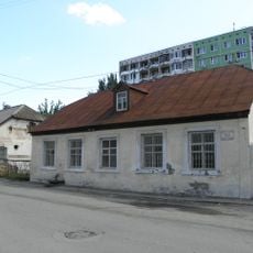
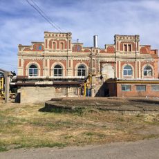
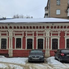
Krasnoarmeysky District is an administrative area in Volgograd that extends along the Volga River's western bank in the city's southern section. The area combines residential neighborhoods with industrial zones where manufacturing facilities occupy significant portions of the landscape.

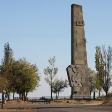
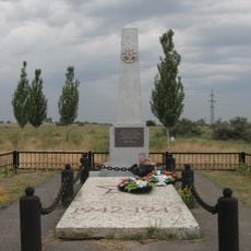
The district took its name and official status in 1944 as the Soviet Union reached the final stages of World War II. The naming reflects the military circumstances of its establishment during that period.

The district maintains numerous educational facilities, including technical schools that prepare students for careers in local industries and manufacturing sectors.

Getting around here is straightforward with multiple bus lines and train connections that link different parts of the area together. Public transportation offers reliable access to central Volgograd and the surrounding regions.

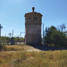
Several specialized manufacturing plants in this area produce machinery and equipment for Russia's maritime and river transport industries. These factories have shaped the district's economic character for decades.

The community of curious travelers

AroundUs brings together thousands of curated places, local tips, and hidden gems, enriched daily by 60,000 contributors worldwide.

Start exploring
Location
Inception
March 21, 1944
GPS coordinates
48.51667,44.56667
Latest update
December 7, 2025 19:31
Around this place
Monument to Lenin at the entrance of the Volga-Don canal
Russian Federation

Monument to Lenin at the entrance of the Volga-Don canal

1.3 km
Volgograd Grain Elevator
Russian Federation

Volgograd Grain Elevator

20 km
Sarpinsky
Russian Federation

Sarpinsky

8.4 km
Lysaya Gora
Russian Federation

Lysaya Gora

19 km
Old Sarepta
Russian Federation

Old Sarepta

1.3 km
Kirche in Sarepta
Russian Federation

Kirche in Sarepta

1.3 km
Church of St. Paraskeva Pyatnitsa in Volgograd
Russian Federation

Church of St. Paraskeva Pyatnitsa in Volgograd

14.6 km
Инга (разъезд)
Russian Federation

Инга (разъезд)

17.2 km
Thälmann Street 7, Volgograd
Russian Federation

Thälmann Street 7, Volgograd

1.4 km
Железнодорожный вокзал станции Канальная (бывшая Тундутово)
Russian Federation

Железнодорожный вокзал станции Канальная (бывшая Тундутово)

16.9 km
Hotel
Russian Federation

Hotel

1.4 km
Distillery
Russian Federation

Distillery

1.5 km
House
Russian Federation

House

1.5 km
Palace of Culture and Sience "Chemist"
Russian Federation

Palace of Culture and Sience "Chemist"

1.4 km
Thälmann Street 3, Volgograd
Russian Federation

Thälmann Street 3, Volgograd

1.3 km
Maximov brothers plant - plant management
Russian Federation

Maximov brothers plant - plant management

18.5 km
Mass grave on Lysaya Gora
Russian Federation

Mass grave on Lysaya Gora

18.6 km
Obshchinnaya uprava
Russian Federation

Obshchinnaya uprava

1.3 km
Bekker's House
Russian Federation

Bekker's House

1.4 km
Single brothers house
Russian Federation

Single brothers house

1.2 km
Thälmann Street 5, Volgograd
Russian Federation

Thälmann Street 5, Volgograd

1.3 km
Maximov brothers plant - heating plant
Russian Federation

Maximov brothers plant - heating plant

18.5 km
Krasnoslobodskaya street, 20, Volgograd
Russian Federation

Krasnoslobodskaya street, 20, Volgograd

20.1 km
Dom nezamuzhnikh sester
Russian Federation

Dom nezamuzhnikh sester

1.3 km
Водонапорная башня станции Канальная (бывшая Тундутово)
Russian Federation

Водонапорная башня станции Канальная (бывшая Тундутово)

16.8 km
Kinoteatr Yubileyny
Russian Federation

Kinoteatr Yubileyny

128 m
Residential buildings
Russian Federation

Residential buildings

17 km
Dom pastora
Russian Federation

Dom pastora

1.4 km
Show the full map
Reviews
Share your experience

No review yet

Discussions
Start a discussion...

No discussion yet

« Krasnoarmeysky District - Administrative district in Volgograd, Russia » is provided by Around Us (aroundus.com). Images and texts are derived from Wikimedia project under a Creative Commons license. You are allowed to copy, distribute, and modify copies of this page, under the conditions set by the license, as long as this note is clearly visible.

Discover hidden gems everywhere you go!

From secret cafés to breathtaking viewpoints, skip the crowded tourist spots and find places that match your style. Our app makes it easy with voice search, smart filtering, route optimization, and insider tips from travelers worldwide. Download now for the complete mobile experience.

Around Us App Screenshot

A unique approach to discovering new places

Le Figaro

All the places worth exploring

France Info

A tailor-made excursion in just a few clicks

20 Minutes

Around Us
Travel Guide & Maps
Download

Send to your phone

QR Code
1

Open the camera app on your mobile.

2

Point at the QR code with your camera. A notification will appear.

3

Tap the notification to open the link.