Tanum Municipality, Administrative district in Västra Götaland County, Sweden
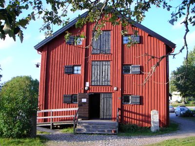
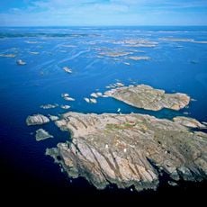
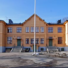
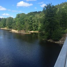
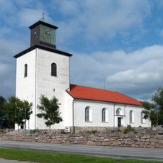
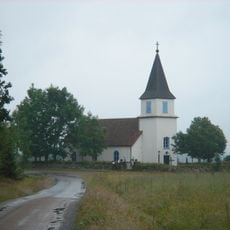
Tanum Municipality is an administrative district in Västra Götaland on Sweden's west coast with coastal areas along the Bohuslän Archipelago and rural regions inland. It includes several smaller towns including Grebbestad, Fjällbacka, and the administrative center Tanumshede.
The area took its current form in 1971 through the merging of three administrative units, consolidating several earlier municipalities. This merger followed restructuring in the 1950s that changed the local administrative landscape.
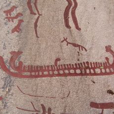
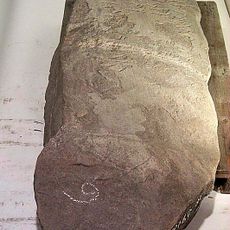
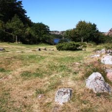
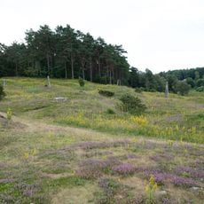
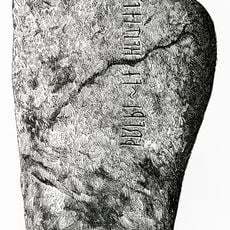
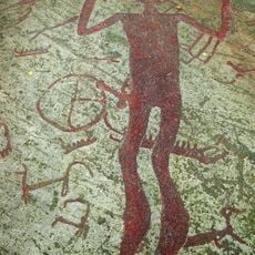
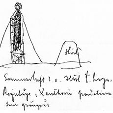
The area is known for its Bronze Age rock carvings depicting people, ships, and animals, protected as a UNESCO World Heritage site. These engravings tell stories of life from thousands of years ago and draw visitors who want to explore ancient artwork and early human traces.
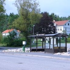
The municipality is accessible by public transportation connecting its various localities. Visitors should plan their routes in advance, especially if exploring multiple sites like the rock carvings and smaller coastal towns.
The area experiments with innovative water protection solutions through special toilet systems that recover nutrients from wastewater. These environmental measures are part of a regional approach to reducing environmental impact.
The community of curious travelers
AroundUs brings together thousands of curated places, local tips, and hidden gems, enriched daily by 60,000 contributors worldwide.