Dereše, Mountain summit in Low Tatras, Slovakia
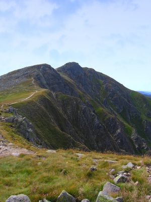
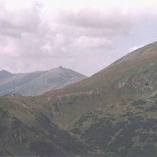
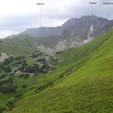
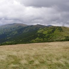
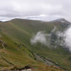
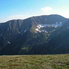
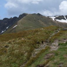
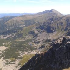
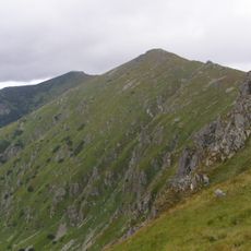
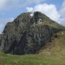
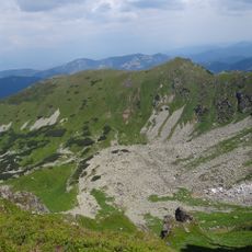
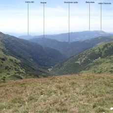
Dereše is a peak in the Low Tatras rising to 2,004 meters, making it the third highest summit in this mountain range. It features a steep northern face and sits between other major peaks, with several valleys surrounding its slopes.
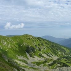
Dereše formed as part of the Low Tatras mountain range during geological uplift that shaped the current landscape. Its steep slopes and surrounding valleys developed through natural erosion processes over millions of years.
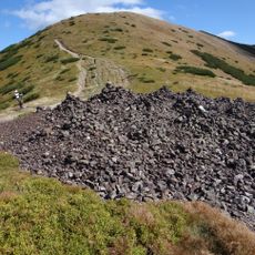
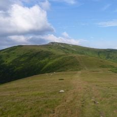
Local mountaineers maintain traditional cairns at various points along the trails, guiding hikers through established routes across the mountain landscape.
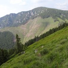
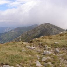
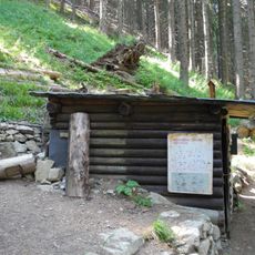
The peak can be reached via marked trails starting from Jasná ski resort and following the Brhliská ski run toward the mountain. Proper hiking footwear and mountain weather preparation are essential, as conditions change quickly at this elevation.
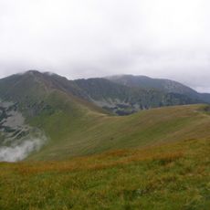
The northern slopes remain shaded most of the day and retain powdery snow conditions throughout the season. This natural advantage makes certain routes here particularly popular among winter sports enthusiasts.
The community of curious travelers
AroundUs brings together thousands of curated places, local tips, and hidden gems, enriched daily by 60,000 contributors worldwide.