Low Tatras National Park, National park in Central Slovakia.
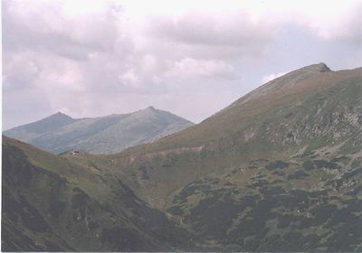
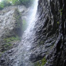
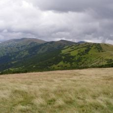
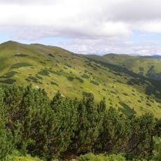
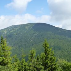
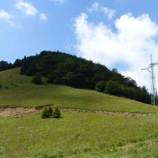
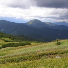
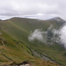
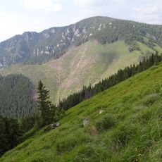
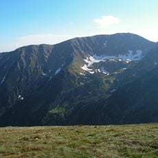
Low Tatras National Park spans approximately 728 square kilometers across central Slovakia with deep canyons, sheer rock faces, mountain peaks, and thick forests of beech and maple trees. The terrain varies dramatically between open summits and forested slopes, with clear streams flowing through the valleys below.
The protected area was established in 1978 and underwent boundary changes in 1997 to strengthen environmental protection, eventually becoming Slovakia's largest national park. These adjustments reflected growing recognition of the need to preserve this mountain region.
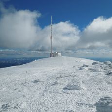
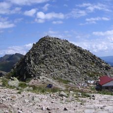
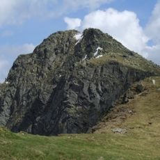
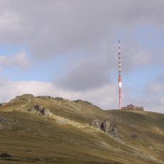
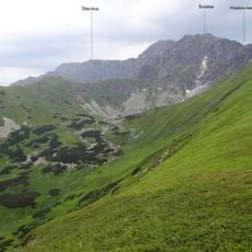
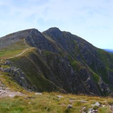
The central ridge connecting Chopok and Dumbier peaks represents traditional Slovak mountaineering routes that have guided climbers for generations. These paths remain an important part of how locals and visitors experience and move through the mountain landscape.
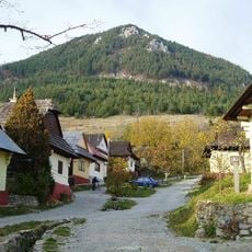
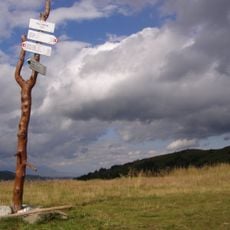
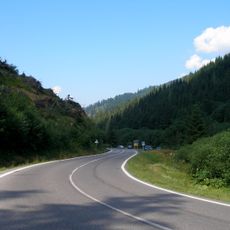
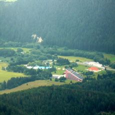
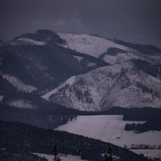
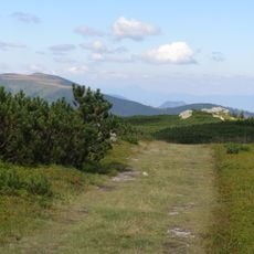
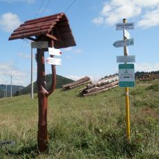
The area can be reached from several directions: in the north through Demänovská Valley via Jasná resort, or over mountain passes at Donovaly and Čertovica. Hiking conditions are most favorable from May through September, though snow coverage varies with the season.
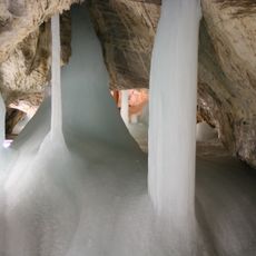
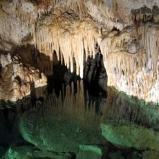
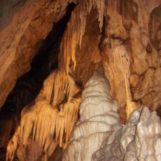
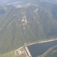
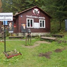
The area contains an extensive network of karst formations, including the Demänovské Cave system known for its underground rivers. Many visitors overlook these caves despite them being among the most remarkable geological features within reach of the park.
The community of curious travelers
AroundUs brings together thousands of curated places, local tips, and hidden gems, enriched daily by 60,000 contributors worldwide.