Chiang Dao, Administrative district in Chiang Mai, Thailand.
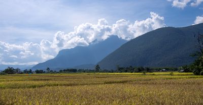
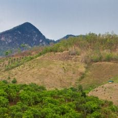
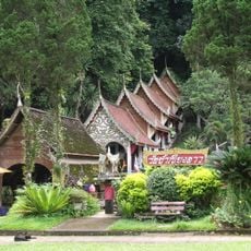
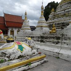
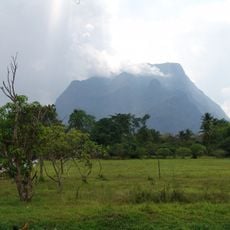
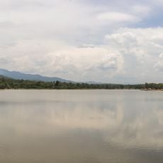
Chiang Dao is an administrative district in Chiang Mai set across mountainous terrain at 507 meters elevation, extending over seven sub-districts with a total of 83 villages. The region is defined by limestone mountain ranges beneath which extensive cave systems lie.
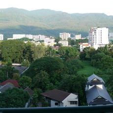
The district originated during the Lan Na Kingdom as a minor settlement and received district status in 1908 through administrative reforms. This restructuring was part of broader modernization of territorial boundaries in the region.
The district is home to several of Thailand's hill peoples who maintain traditional ways of living and pass down craft skills. Visitors can see how these communities preserve their culture in daily life and practice their handicraft techniques.
Regular buses connect Chiang Mai and the district from 6:00 to 18:00 covering 72 kilometers along Highway 107. Travelers should expect winding mountain roads and longer journeys when reaching the remote villages scattered throughout the region.
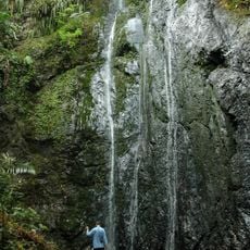
Beneath the limestone mountains lies an extensive cave system stretching for several kilometers, containing numerous formations of stalactites and stalagmites. This underground landscape is partially accessible to visitors and offers insight into the geological history of the region.
The community of curious travelers
AroundUs brings together thousands of curated places, local tips, and hidden gems, enriched daily by 60,000 contributors worldwide.