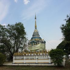
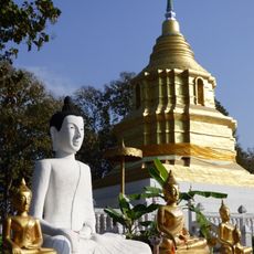
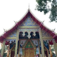
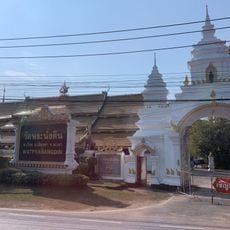
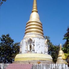
Dok Khamtai, Administrative district in Phayao Province, Thailand
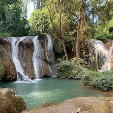
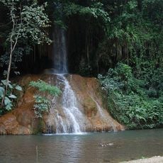
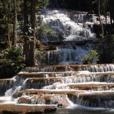
Dok Khamtai is an administrative district in Phayao Province in northern Thailand, spanning multiple sub-districts across rolling terrain. The area features diverse landscapes with river systems that flow through the region, supporting numerous small settlements.
The district was founded in 1832 and underwent several administrative changes before becoming a full district in 1965. This establishment represented an important milestone in the regional administrative structure.
The district takes its name from the sponge tree, a plant that once covered much of the surrounding landscape. The local environment has shaped how people understand and relate to this place.
The district is accessible through multiple transportation routes connecting to neighboring provinces, making it reachable from various directions. Visitors should expect less urban infrastructure than in larger cities, with local roads being the main way to explore the area.
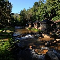
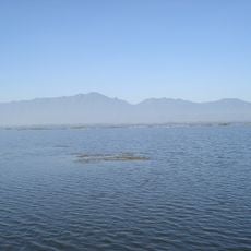
The Ing River flows through the district, providing water to numerous villages scattered throughout the region, making it a vital resource for local communities. Without this natural waterway, settlement in the area would have been much more difficult.
The community of curious travelers
AroundUs brings together thousands of curated places, local tips, and hidden gems, enriched daily by 60,000 contributors worldwide.