Enable Location

We need your location to show you interesting places around you

Discover nearby places

Find interesting locations and hidden gems around you

Precise directions

Get accurate directions and distances to places

Your location is never shared with other users. It's only used when you tap the location button.

Log in to your account

Start exploring — it's free

Trusted by 61,992 travelers worldwide

Continue with Google
Continue with Apple
or

We will send you a code to connect

By continuing, you accept our Terms and Conditions and our Privacy Policy

Check your inbox

We've sent a pincode in your inbox. Please enter the code below.

Ban Phai

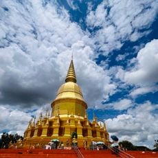
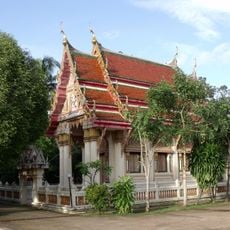
Ban Phai, Administrative district in Khon Kaen, Thailand

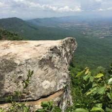
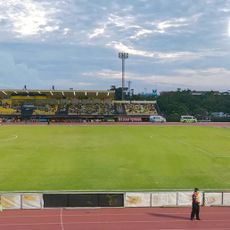
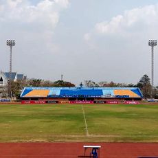
Ban Phai is an administrative district in the northeastern part of Khon Kaen province, divided into ten subdistricts with rural countryside and farming communities. It sits at a moderate elevation with scattered villages connected by local roads through agricultural lands.

This territory began as Ban Keng and became a minor administrative division in 1928, then gained full district status on February 1, 1940. The progression reflected growing development and administrative organization in the northeastern region.

Rice farming shapes daily life here, with families working the fields using methods passed down over generations. Agriculture remains the center of the community's identity and seasonal rhythms.

Local buses connect this district to Khon Kaen city and surrounding areas, with basic guesthouses and modest hotels providing places to stay. It's helpful to arrange visits in advance or ask locally for directions, as services are spread across small communities rather than concentrated in one center.

A major sugarcane mill and biomass power plant project is being built across a large area, linking the region to development corridors that extend beyond the province. This industrial development represents a shift away from exclusive reliance on traditional farming for the district's economy.

The community of curious travelers

AroundUs brings together thousands of curated places, local tips, and hidden gems, enriched daily by 60,000 contributors worldwide.

Start exploring
Location
Capital city
Ban Phai
Elevation above the sea
202 m
GPS coordinates
16.06000,102.73083
Latest update
December 7, 2025 20:41
« Ban Phai - Administrative district in Khon Kaen, Thailand » is provided by Around Us (aroundus.com). Images and texts are derived from Wikimedia project under a Creative Commons license. You are allowed to copy, distribute, and modify copies of this page, under the conditions set by the license, as long as this note is clearly visible.

Discover hidden gems everywhere you go!

From secret cafés to breathtaking viewpoints, skip the crowded tourist spots and find places that match your style. Our app makes it easy with voice search, smart filtering, route optimization, and insider tips from travelers worldwide. Download now for the complete mobile experience.

Around Us App Screenshot

A unique approach to discovering new places

Le Figaro

All the places worth exploring

France Info

A tailor-made excursion in just a few clicks

20 Minutes

Around Us
Travel Guide & Maps
Download

Send to your phone

QR Code
1

Open the camera app on your mobile.

2

Point at the QR code with your camera. A notification will appear.

3

Tap the notification to open the link.