Mueang Chumphon, Administrative district in Chumphon, Thailand.
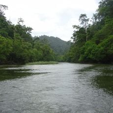
Mueang Chumphon is the main administrative district of Chumphon province, organized into 17 sub-districts and 165 villages across varying terrain. The area stretches from coastal zones to inland regions where rice farming dominates the landscape.
The district was originally known as Tha Tapao until 1938, when it was renamed to reflect its new administrative role. This change marked a turning point in how the area was organized and governed.
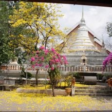
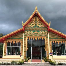
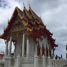
Local communities celebrate southern Thai traditions through regular festivals featuring music and dance that reflect regional identity. These gatherings show how residents maintain their cultural practices as part of daily life.
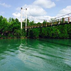
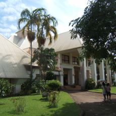
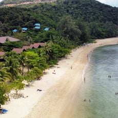
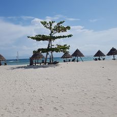
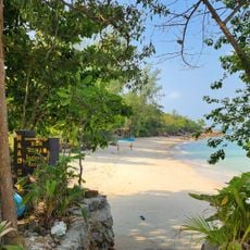
The district serves as a key connection point between Bangkok and the southern islands, with good road access throughout. Coastal areas are easily reachable, and inland regions offer convenient routes to explore local attractions.
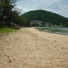
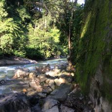
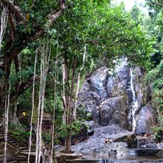
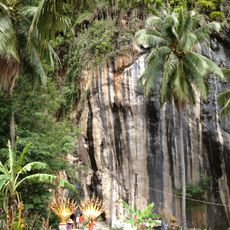
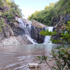
The area blends two distinct landscapes where coastal mangroves and beaches give way to rice paddies inland, creating a sharp contrast between maritime and agricultural zones. This mix allows visitors to experience both seascapes and farmland within a short distance.
The community of curious travelers
AroundUs brings together thousands of curated places, local tips, and hidden gems, enriched daily by 60,000 contributors worldwide.