
Uttaradit, Province in northern Thailand
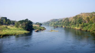
Uttaradit is a province in northern Thailand that stretches from the Nan River valley to the mountain ranges of the Phi Pan Nam region. Three national parks cover much of the territory with dense forest and uneven terrain.
Traders moved up and down the Nan River, so a market formed on its banks that became the port of the north during the Sukhothai era. Later, defenders strengthened local power by repelling attacks from outside.
The name combines the words for northern and port, recalling a time when river routes mattered more than roads. People visit Buddhist temples in the larger towns or head up into the forested mountains for hiking.
Travelers can stay in small towns along the river or drive into the mountain areas where trails run through the forests. The Sirikit Dam offers water activities and recreation grounds at Sumalai Park that work well for a day trip.
A weather station recorded the highest temperature in Thailand here in April 1960 at 44.5 degrees Celsius (112 degrees Fahrenheit). That reading stood for more than five decades until another station surpassed it in 2016.
Location: Thailand
Capital city: Uttaradit
Shares border with: Phitsanulok, Sukhothai, Phrae, Nan
Website: http://uttaradit.go.th
GPS coordinates: 17.62972,100.09667
Latest update: December 4, 2025 23:43

Wat Phra That Cho Hae
52.1 km
Phra That Si Song Rak
118.1 km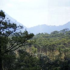
Phu Soi Dao National Park
96.5 km
Nam Phi iron mine
23.7 km
Wat Phra Thaen Sila At
6.6 km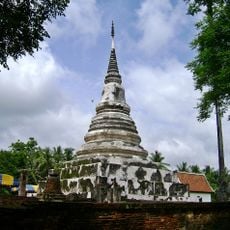
Wat Phra Fang Sawang Khaburimuninat
13.9 km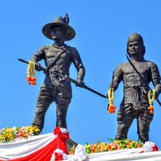
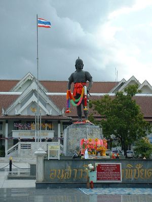
Statues of King Taksin and Phraya Phichai Dap Hak in Wat Khung Taphao
5.4 km
Wat Khung Taphao
5.3 km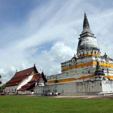
Wat Phra Borom That Thung Yang
5.5 km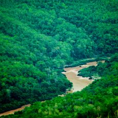
Si Nan National Park
113.6 km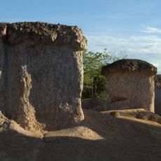
Phae Mueang Phi
63 km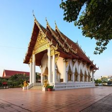
Wat Tha Thanon
1.1 km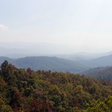
Lam Nam Nan National Park
68 km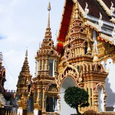
Wat Phra That Suthon Mongkhon Khiri Samakkhi Tham
39.4 km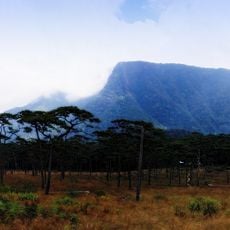
Phu Soi Dao
97.2 km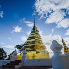
Wat Phra That Puchae
67.2 km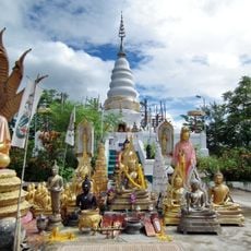
Wat Phra That Doi Leng
50.8 km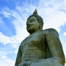
Phra Sambuddha Muni Siri-Uttaradit Mahapatimakara
5.2 km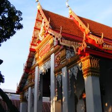
Wat Khlong Pho
1.8 km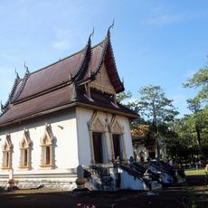
Wat Yai Tha Sao
3.2 km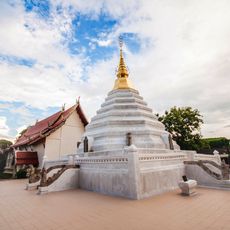
Wat Luang
57.5 km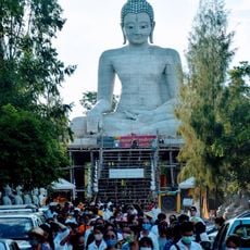
Provincial Phutthamonthon Park of Uttaradit
5.3 km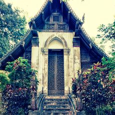
Wat Don Sak
7.8 km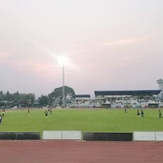
Thunghong Subdistrict municipality Stadium
61.2 km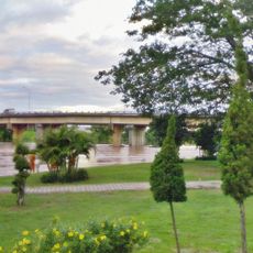
Ban Khung Taphao Park
6 km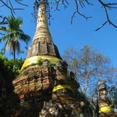
Wat Chom Sawan
58.3 km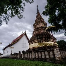
Wat Hua Khuang
57.9 km
Phrae Provincial Administrative Organization Stadium
58.3 kmVisited this place? Tap the stars to rate it and share your experience / photos with the community! Try now! You can cancel it anytime.
Discover hidden gems everywhere you go!
From secret cafés to breathtaking viewpoints, skip the crowded tourist spots and find places that match your style. Our app makes it easy with voice search, smart filtering, route optimization, and insider tips from travelers worldwide. Download now for the complete mobile experience.

A unique approach to discovering new places❞
— Le Figaro
All the places worth exploring❞
— France Info
A tailor-made excursion in just a few clicks❞
— 20 Minutes