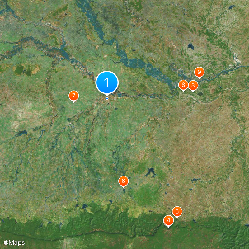
Si Sa Ket, Administrative province in Northeast Thailand
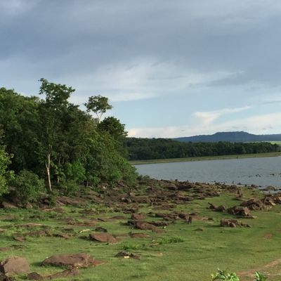
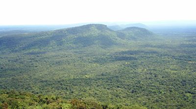
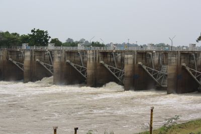
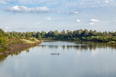
Si Sa Ket is an administrative province in northeastern Thailand that spans the Mun River valley. The Dângrêk mountains form its southern boundary with Cambodia, while forests cover about 12 percent of the territory.
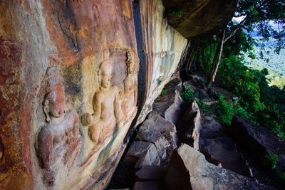
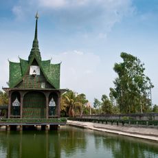
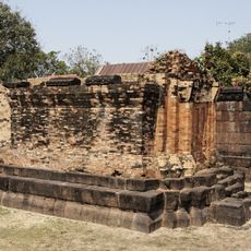
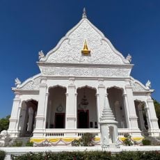
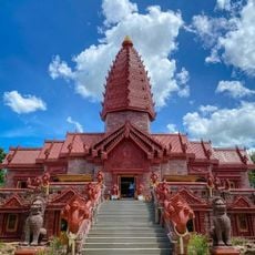
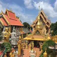
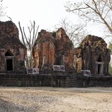
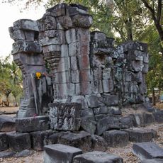
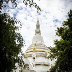
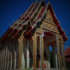
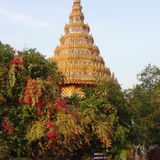
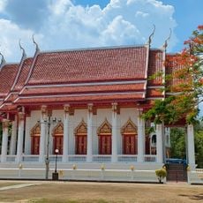
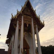
The province was formerly called Sri Nakorn Lamduan and Khukhan before receiving its current name in 1938. Remains from the Khmer Empire period appear at several sites across the territory.
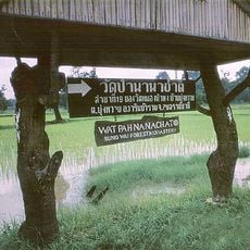
The population includes Kui, Lao, Khmer, and Yer communities living side by side. Over a quarter of residents speak northern Khmer as their everyday language.
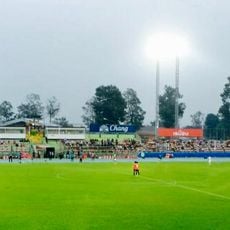
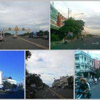
The northeastern railway line links the province to Bangkok's Hua Lamphong station. Buses run regularly from Bangkok's northern terminal to several destinations within the province.
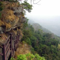
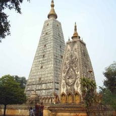
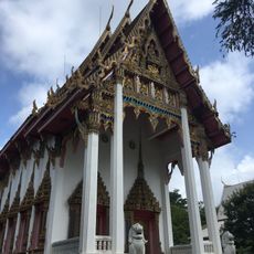
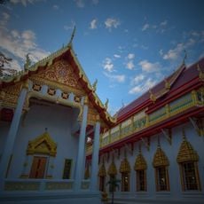
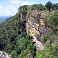
Khao Phra Wihan National Park was established in 1998 and covers 130 square kilometers (50 square miles). The Prasat Preah Vihear temple sits on the border with Cambodia and has been the subject of territorial disputes for many years.
The community of curious travelers
AroundUs brings together thousands of curated places, local tips, and hidden gems, enriched daily by 60,000 contributors worldwide.