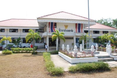
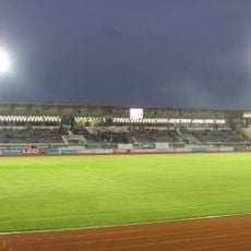
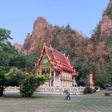
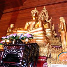
Khao Kho, Mountain district in Phetchabun, Thailand
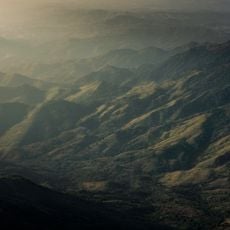
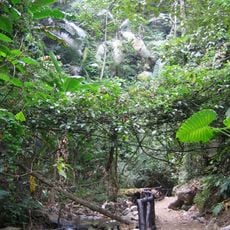
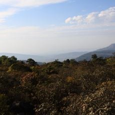
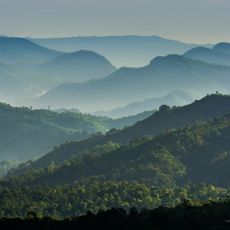
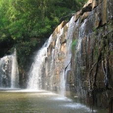
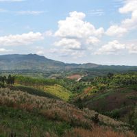
Khao Kho is a district in Phetchabun that stretches across mountainous terrain with elevations exceeding 1,000 meters, encompassing dense forests and agricultural areas. The region comprises seven sub-districts and 72 villages spread throughout the highlands.
The district became a conflict zone between 1968 and 1981 when the Royal Thai Armed Forces and the Communist Party of Thailand clashed in its mountains. This period left a lasting mark on the region's past.
The Khek Noi sub-district is home to Thailand's largest Hmong population, whose daily customs and farming practices shape the region's character.
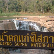
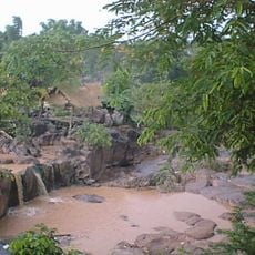
The area is accessible via Thailand Route 12, which connects it to major cities and natural attractions throughout the region. The mountainous terrain means travel times between sites can be longer than in flatter areas.
Farmers here grow cabbage and tobacco at high elevations, creating striking patterns of agricultural terraces on the mountainsides. This highland farming is quite unusual for Thailand and defines much of the landscape.
The community of curious travelers
AroundUs brings together thousands of curated places, local tips, and hidden gems, enriched daily by 60,000 contributors worldwide.