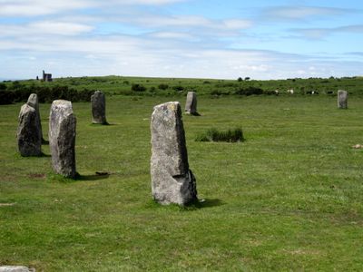
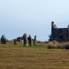
Hurlers Stone Circles, Bronze Age stone circles on Bodmin Moor, England
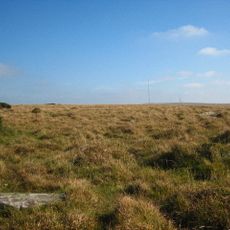
Hurlers Stone Circles comprise three stone circles arranged in a straight line spanning 110 meters across the moor. The central and largest circle measures about 42 meters in diameter with 14 standing stones, while the two adjacent circles are smaller and form a connected grouping.
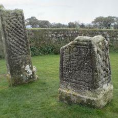
These stone circles were constructed over 4,000 years ago during the Bronze Age for ritual purposes. A 1936 excavation uncovered quartz crystal paving in the central circle, confirming that significant ceremonies took place at this site.
Local tales describe these stones as hurling players turned to stone for playing their sport on a Sunday. The story shows how medieval communities interpreted ancient pagan sites through the lens of Christian beliefs.
The site is open year-round with free access and no admission fee required. A short walking path of about 400 meters from the free car park leads directly to the stone circles.
Several stones display evidence of intentional polishing, revealing that builders shaped these blocks before erecting them. Such work required hundreds of hours of collective labor using basic tools.
The community of curious travelers
AroundUs brings together thousands of curated places, local tips, and hidden gems, enriched daily by 60,000 contributors worldwide.