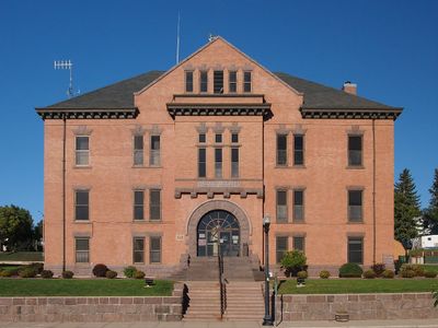
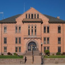
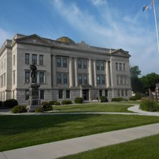
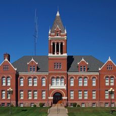
Big Stone County, County administration center in Ortonville, Minnesota, US
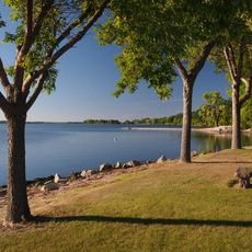
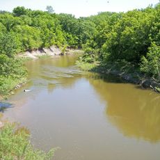
Big Stone County sits in western Minnesota along the South Dakota border, spread across rolling terrain dotted with farms and lakes. The landscape is shaped by rural character, with water bodies and agricultural land defining the surroundings.
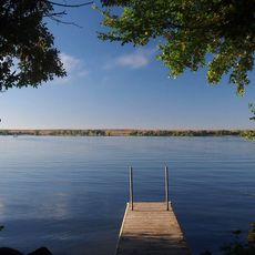
Established in 1862 and organized in 1874, the county emerged as part of Minnesota's westward expansion during the pioneer era. Its name comes from Big Stone Lake, which has been a defining feature along its eastern edge for generations.
The county is rooted in farming traditions that shape local life, visible in the scattered farms, seasonal gatherings, and events celebrating regional products. People here maintain a deep connection to the land and its rhythms.
Four major highways, including US 12 and US 75, connect the county's communities and provide straightforward access to neighboring regions. These roads cross through the area in multiple directions, making it easy to navigate.
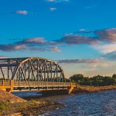
Built in 1937, the Big Stone Lake Dam created a substantial water reservoir that now serves recreational and environmental needs. The dam reshaped the landscape and draws visitors for exploration and fishing activities.
Location: Minnesota
Inception: February 20, 1862
Capital city: Ortonville
Shares border with: Traverse County, Lac qui Parle County, Stevens County, Swift County, Roberts County, Grant County
Website: http://bigstonecounty.org
GPS coordinates: 45.43000,-96.41000
Latest update: December 8, 2025 13:42
Big Stone Lake
16.4 km
Lac qui Parle State Park
60.4 km
Big Stone Lake State Park
9.6 km
Big Stone National Wildlife Refuge
21.5 km
Sam Brown Memorial State Wayside
38.3 km
First Congregational Church of Milbank
28.4 km
Lebanon Lutheran Church
61.5 km
Gethsemane Episcopal Church
40 km
Swedish Lutheran Church of Strandburg
52 km
Browns Valley Carnegie Library
37.6 km
Big Stone County Courthouse
14.2 km
Lewis H. Stanton House
41.8 km
Morris Carnegie Library
42.1 km
Appleton City Hall
39.9 km
Brown Earth Presbyterian Church
44.5 km
Roberts County Courthouse
55.9 km
Andrew and Mary Stavig House
56.3 km
Madison Carnegie Library
49.5 km
Alberta Teachers House
32.6 km
Dawson Bank Museum
62.3 km
Grant County Courthouse
29.5 km
First State Bank Building
47.6 km
Sisseton Carnegie Library
56.2 km
Milan Bridge
50 km
Lac Qui Parle County Courthouse
49.2 km
Graceville Historical Marker
15.7 km
Lou T. Fisk
49.9 km
West Central School of Agriculture and Experiment Station Historic District
43.6 kmVisited this place? Tap the stars to rate it and share your experience / photos with the community! Try now! You can cancel it anytime.
Discover hidden gems everywhere you go!
From secret cafés to breathtaking viewpoints, skip the crowded tourist spots and find places that match your style. Our app makes it easy with voice search, smart filtering, route optimization, and insider tips from travelers worldwide. Download now for the complete mobile experience.
A unique approach to discovering new places❞
— Le Figaro
All the places worth exploring❞
— France Info
A tailor-made excursion in just a few clicks❞
— 20 Minutes