Enable Location

We need your location to show you interesting places around you

Discover nearby places

Find interesting locations and hidden gems around you

Precise directions

Get accurate directions and distances to places

Your location is never shared with other users. It's only used when you tap the location button.

Carlton County

Log in to your account

Start exploring — it's free

Trusted by 61,410 travelers worldwide

Continue with Google
Continue with Apple
or

We will send you a code to connect

By continuing, you accept our Terms and Conditions and our Privacy Policy

Check your inbox

We've sent a pincode in your inbox. Please enter the code below.

Carlton County, Administrative division in eastern Minnesota, US.

Description

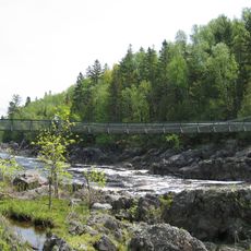
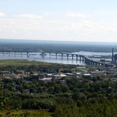
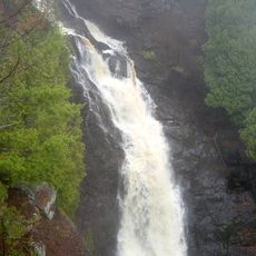
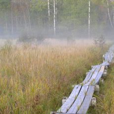
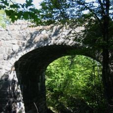
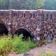
Carlton County is an administrative division in eastern Minnesota with gently rolling hills and forested landscapes, crossed by several rivers that flow toward Lake Superior. The area spans approximately 875 square miles and includes various natural zones that define its character.

History

The region was established as an administrative county in 1857 and later created the Fond du Lac Reservation through a treaty with the Lake Superior Ojibwe in 1870. These early foundations continue to shape local governance and population patterns.

Culture

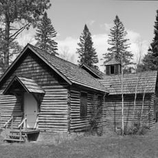
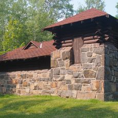
The area shows traces of different cultures, particularly in communities around the Fond du Lac Reservation, where indigenous traditions and European settlement influences remain visible in everyday life.

Practical

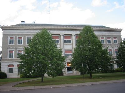
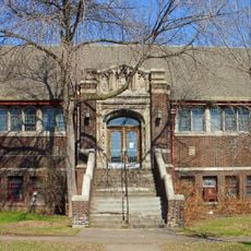
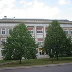
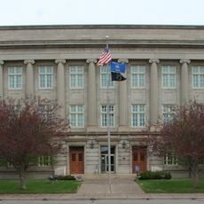
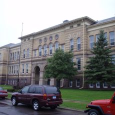
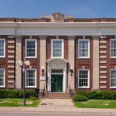
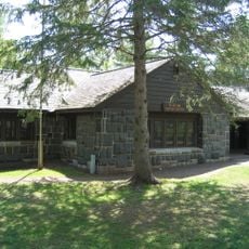
The county seat is located in Carlton with administrative offices handling permits, elections, and resident services at a central location. The region offers many opportunities to explore the varied landscape, especially around the rivers and forested areas.

Did you know?

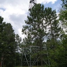
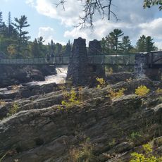
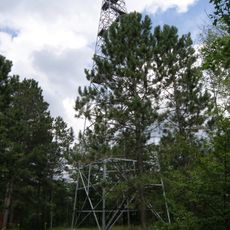
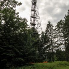
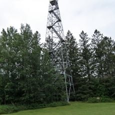
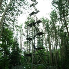
The area includes protected natural spaces like Jay Cooke State Park and Black Hoof Wildlife Management Area, which surprise visitors with intact forest and river landscapes. These places offer room for quiet nature observation away from busier routes.

Location
Inception
May 23, 1857
Capital city
Carlton
Shares border with
St. Louis County, Aitkin County, Pine County, Douglas County
GPS coordinates
46.59000,-92.68000
Latest update
December 7, 2025 19:25

AroundUs brings together thousands of curated places, local tips, and hidden gems, enriched daily by 60,000 contributors worldwide. Discover all places nearby (Minnesota).

Around this place
Jay Cooke State Park
United States of America

Jay Cooke State Park

27.5 km
Richard I. Bong Memorial Bridge
United States of America

Richard I. Bong Memorial Bridge

43.9 km
R. W. Lindholm Service Station
United States of America

R. W. Lindholm Service Station

22.2 km
Pattison State Park
United States of America

Pattison State Park

43.3 km
Big Manitou Falls
United States of America

Big Manitou Falls

43.2 km
Savanna Portage State Park
United States of America

Savanna Portage State Park

45.6 km
Moose Lake State Park
United States of America

Moose Lake State Park

17.1 km
Oliver Bridge
United States of America

Oliver Bridge

37.3 km
Fond du Lac State Forest
United States of America

Fond du Lac State Forest

12.9 km
Lincoln Branch Library
United States of America

Lincoln Branch Library

46.5 km
Church of Sts. Joseph and Mary-Catholic
United States of America

Church of Sts. Joseph and Mary-Catholic

11 km
Carlton County Courthouse
United States of America

Carlton County Courthouse

21.3 km
Douglas County Courthouse
United States of America

Douglas County Courthouse

46.9 km
Irving School
United States of America

Irving School

42.3 km
Bridge No. L6007
United States of America

Bridge No. L6007

36.8 km
Bridge No. 5757
United States of America

Bridge No. 5757

31.9 km
Cloquet City Hall
United States of America

Cloquet City Hall

22.1 km
Arthyde Stone House
United States of America

Arthyde Stone House

40.9 km
Empire Block
United States of America

Empire Block

46.5 km
Berkshire Block
United States of America

Berkshire Block

46.6 km
Cloquet-Northern Office Building
United States of America

Cloquet-Northern Office Building

22.1 km
Swinging Bridge, Minnesota
United States of America

Swinging Bridge, Minnesota

24.7 km
Cromwell Lookout Tower
United States of America

Cromwell Lookout Tower

17.6 km
Nickerson Lookout Tower
United States of America

Nickerson Lookout Tower

24.9 km
Jay Cooke State Park CCC/Rustic Style Historic District‎
United States of America

Jay Cooke State Park CCC/Rustic Style Historic District‎

24.7 km
Floodwood Lookout Tower
United States of America

Floodwood Lookout Tower

41.9 km
Jay Cooke State Park CCC/WPA/Rustic Style Picnic Grounds
United States of America

Jay Cooke State Park CCC/WPA/Rustic Style Picnic Grounds

26.1 km
Cloquet Lookout Tower
United States of America

Cloquet Lookout Tower

16.1 km
Show the full map
« Carlton County - Administrative division in eastern Minnesota, US » is provided by Around Us (aroundus.com). Images and texts are derived from Wikimedia project under a Creative Commons license. You are allowed to copy, distribute, and modify copies of this page, under the conditions set by the license, as long as this note is clearly visible.

Discover hidden gems everywhere you go!

From secret cafés to breathtaking viewpoints, skip the crowded tourist spots and find places that match your style. Our app makes it easy with voice search, smart filtering, route optimization, and insider tips from travelers worldwide. Download now for the complete mobile experience.

Around Us App Screenshot

A unique approach to discovering new places

Le Figaro

All the places worth exploring

France Info

A tailor-made excursion in just a few clicks

20 Minutes

Around Us
Travel Guide & Maps
Download

Send to your phone

QR Code
1

Open the camera app on your mobile.

2

Point at the QR code with your camera. A notification will appear.

3

Tap the notification to open the link.