Jefferson County

Log in to your account

AroundUs is a community-driven map of interesting places, built by curious explorers like you. It grows with every review, story, and photo you share.
Connect to save your favorite spots, contribute locations, and create personalized routes.
Continue with Google
Continue with Apple
Continue with X
Continue with Facebook
Continue with email
By continuing, you accept our Terms and Conditions and our Privacy Policy
Create an account
Add to collection
Map
Suggest a change
Share

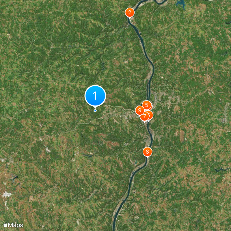
Jefferson County, County in eastern Ohio, US

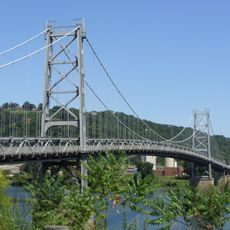
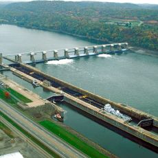
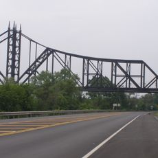
Jefferson County is an administrative division in eastern Ohio situated along the Ohio River on its eastern edge. The landscape includes both river bottomlands and inland areas with rolling terrain.

The county was created in 1797 and named after Thomas Jefferson during his time as Vice President. It later became a major center for coal mining and steel production that shaped the region's economy for generations.

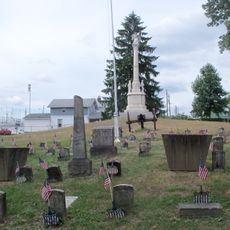
The county's identity is rooted in mining and steel industry traditions that remain visible in local gatherings and community pride. These working-class values continue to shape how residents interact with their neighborhoods and support one another.

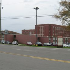
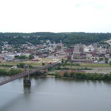
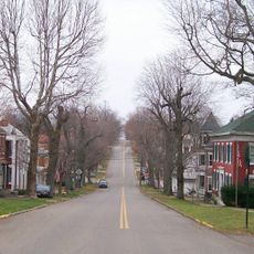
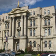
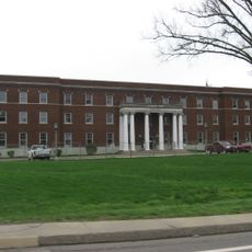
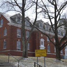
Steubenville serves as the county seat and contains the main courthouse along with municipal services for visitors and residents. Walking through the downtown area is the best way to explore local amenities, while driving allows access to riverside areas and outlying communities.

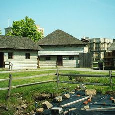
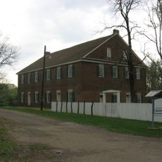
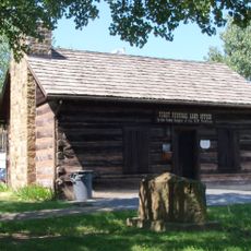
Fort Steuben was originally a military outpost established in 1786 that became the foundation for Steubenville's development and growth. The site remains an important landmark connecting the area to its earliest days of settlement.

Location: Ohio

Inception: July 27, 1797

Capital city: Steubenville

Reference: JEF

Shares border with: Columbiana County, Carroll County, Hancock County, Brooke County, Ohio County, Belmont County, Harrison County

Website: http://jeffersoncountyoh.com

GPS coordinates: 40.38000,-80.76000

Latest update: December 14, 2025 05:37

Photos
Around this place
Mountaineer Casino, Racetrack and Resort
United States of America

Mountaineer Casino, Racetrack and Resort

23.8 km
Veterans Memorial Bridge
United States of America

Veterans Memorial Bridge

12.7 km
Fort Steuben
United States of America

Fort Steuben

12.7 km
Fort Steuben Bridge
United States of America

Fort Steuben Bridge

12.4 km
Market Street Bridge
United States of America

Market Street Bridge

13.1 km
Holy Name Cathedral
United States of America

Holy Name Cathedral

12.2 km
Vancroft
United States of America

Vancroft

16.9 km
Union Cemetery-Beatty Park
United States of America

Union Cemetery-Beatty Park

10.8 km
New Cumberland Locks and Dam
United States of America

New Cumberland Locks and Dam

20 km
United States of America

Wellsburg Bridge

17.3 km
Hodgen's Cemetery Mound
United States of America

Hodgen's Cemetery Mound

23.5 km
Mount Pleasant Historic District
United States of America

Mount Pleasant Historic District

23.1 km
Friends Meetinghouse
United States of America

Friends Meetinghouse

23.3 km
United States of America

Fernwood State Forest

7.6 km
Jefferson County Courthouse
United States of America

Jefferson County Courthouse

12.6 km
Wabash Bridge
United States of America

Wabash Bridge

15.5 km
Benjamin Lundy House
United States of America

Benjamin Lundy House

23.2 km
Schiappa Branch Library
United States of America

Schiappa Branch Library

7.4 km
Federal Land Office
United States of America

Federal Land Office

12.6 km
Nicholls House and Woolen Mill Site
United States of America

Nicholls House and Woolen Mill Site

19.2 km
Elmhurst
United States of America

Elmhurst

17.2 km
Stringer Stone House
United States of America

Stringer Stone House

22.1 km
Shaw Hall
United States of America

Shaw Hall

27.4 km
Lucy Tarr Mansion
United States of America

Lucy Tarr Mansion

17.3 km
Brooke Cemetery
United States of America

Brooke Cemetery

16.7 km
Gen. I.H. Duval Mansion
United States of America

Gen. I.H. Duval Mansion

17.5 km
Shotwell Hall, West Liberty State College
United States of America

Shotwell Hall, West Liberty State College

27.6 km
First National Bank
United States of America

First National Bank

18.3 km
Show the full map
Reviews

Visited this place? Tap the stars to rate it and share your experience / photos with the community! Try now! You can cancel it anytime.

Administrative divisions
« Jefferson County - County in eastern Ohio, US » is provided by Around Us (aroundus.com). Images and texts are derived from Wikimedia project under a Creative Commons license. You are allowed to copy, distribute, and modify copies of this page, under the conditions set by the license, as long as this note is clearly visible.

Discover hidden gems everywhere you go!

From secret cafés to breathtaking viewpoints, skip the crowded tourist spots and find places that match your style. Our app makes it easy with voice search, smart filtering, route optimization, and insider tips from travelers worldwide. Download now for the complete mobile experience.

Around Us App Screenshot

A unique approach to discovering new places

Le Figaro

All the places worth exploring

France Info

A tailor-made excursion in just a few clicks

20 Minutes