Wayne County

Log in to your account

AroundUs is a community-driven map of interesting places, built by curious explorers like you. It grows with every review, story, and photo you share.
Connect to save your favorite spots, contribute locations, and create personalized routes.
Continue with Google
Continue with Apple
Continue with X
Continue with Facebook
Continue with email
By continuing, you accept our Terms and Conditions and our Privacy Policy
Create an account
Add to collection
Map
Suggest a change
Share

Wayne County, County administrative division in Western New York, United States

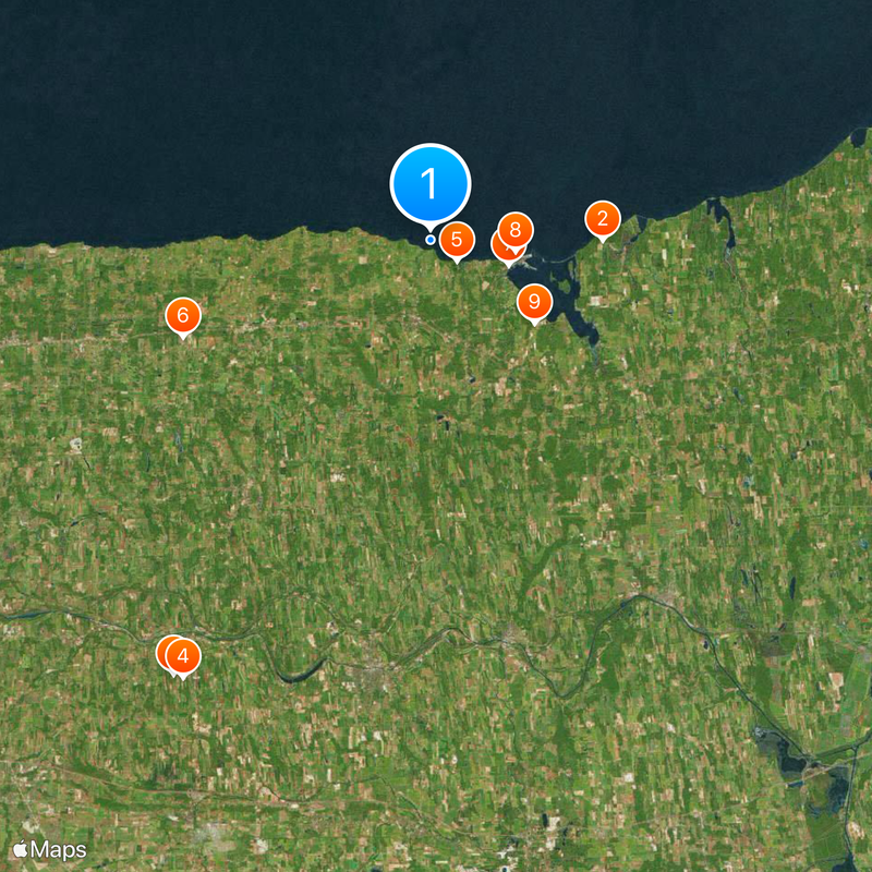
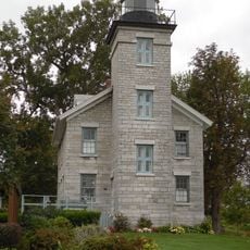
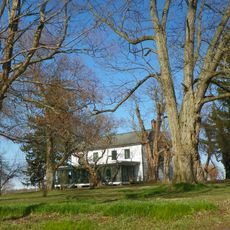
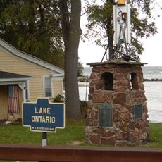
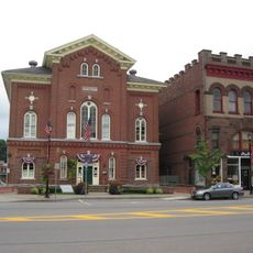
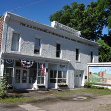
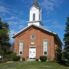
Wayne County is located in western New York along Lake Ontario's shoreline and encompasses multiple smaller towns and villages throughout the region. It combines waterfront areas with farmland and spans a large territory across this part of the state.

The county was established in 1823, taking its name from General Anthony Wayne to honor his service in the American Revolution. Its formation split earlier administrative territories and opened the area for wider settlement and development.

The Fox Sisters from Hydesville started the Spiritualist movement, turning this county into a center for religious exploration and growth in the 1800s. This history shaped how people here think about faith and community.

Visitors can travel easily between various communities and towns throughout the county. The best time to explore is from May to October when weather is mild and dry.

This region leads New York in apple production and is home to over 150 processing facilities that support the agricultural industry. This strong farming presence shapes the landscape and local way of life throughout the area.

Location: New York

Inception: 1823

Capital city: Lyons

Shares border with: Seneca County, Ontario County, Cayuga County, Monroe County

Website: http://co.wayne.ny.us

GPS coordinates: 43.28000,-77.05000

Latest update: December 20, 2025 00:52

Photos
Around this place
Chimney Bluffs State Park
United States of America

Chimney Bluffs State Park

10.5 km
Sacred Grove
United States of America

Sacred Grove

31 km
Palmyra New York Temple
United States of America

Palmyra New York Temple

30.8 km
Beechwood State Park
United States of America

Beechwood State Park

2 km
United States of America

Spencer Speedway

16.3 km
S.S.S. Lotus
United States of America

S.S.S. Lotus

5 km
Sodus Point Light
United States of America

Sodus Point Light

5.2 km
Alasa Farms
United States of America

Alasa Farms

8.1 km
Zurich Bog
United States of America

Zurich Bog

15.1 km
Sodus Outer Light
United States of America

Sodus Outer Light

6.2 km
Charles Bullis House
United States of America

Charles Bullis House

32.1 km
Smith-Ely Mansion
United States of America

Smith-Ely Mansion

26 km
St. Peter
United States of America

St. Peter

7.5 km
United States of America

Port Gibson United Methodist Church

28.4 km
Palmyra Village Historic District
United States of America

Palmyra Village Historic District

28.3 km
East Main Street Commercial Historic District
United States of America

East Main Street Commercial Historic District

28.2 km
Grace Episcopal Church Complex
United States of America

Grace Episcopal Church Complex

24.4 km
United States of America

Customs House

4.8 km
Red Brick Church
United States of America

Red Brick Church

9.5 km
H. G. Hotchkiss Essential Oil Company Plant
United States of America

H. G. Hotchkiss Essential Oil Company Plant

24.6 km
Brick Church Corners
United States of America

Brick Church Corners

20.9 km
Preston-Gaylord Cobblestone Farmhouse
United States of America

Preston-Gaylord Cobblestone Farmhouse

2.5 km
Methodist Episcopal Church of Butler
United States of America

Methodist Episcopal Church of Butler

25.8 km
Dipper Dredge No. 3
United States of America

Dipper Dredge No. 3

24.1 km
Wallington Cobblestone Schoolhouse District No. 8
United States of America

Wallington Cobblestone Schoolhouse District No. 8

7 km
Roe Cobblestone Schoolhouse
United States of America

Roe Cobblestone Schoolhouse

22.9 km
Gates Hall and Pultneyville Public Square
United States of America

Gates Hall and Pultneyville Public Square

11.1 km
Sacred Grove Welcome Center
United States of America

Sacred Grove Welcome Center

30.9 km
Show the full map
Reviews

Visited this place? Tap the stars to rate it and share your experience / photos with the community! Try now! You can cancel it anytime.

« Wayne County - County administrative division in Western New York, United States » is provided by Around Us (aroundus.com). Images and texts are derived from Wikimedia project under a Creative Commons license. You are allowed to copy, distribute, and modify copies of this page, under the conditions set by the license, as long as this note is clearly visible.

Discover hidden gems everywhere you go!

From secret cafés to breathtaking viewpoints, skip the crowded tourist spots and find places that match your style. Our app makes it easy with voice search, smart filtering, route optimization, and insider tips from travelers worldwide. Download now for the complete mobile experience.

Around Us App Screenshot

A unique approach to discovering new places

Le Figaro

All the places worth exploring

France Info

A tailor-made excursion in just a few clicks

20 Minutes