Cross County

Log in to your account

AroundUs is a community-driven map of interesting places, built by curious explorers like you. It grows with every review, story, and photo you share.
Connect to save your favorite spots, contribute locations, and create personalized routes.
By continuing, you accept our Terms and Conditions and our Privacy Policy
Add to collection
Map
Suggest a change
Share

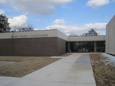
Cross County, Administrative county in northeastern Arkansas, United States.

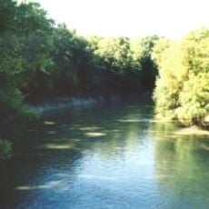
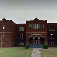
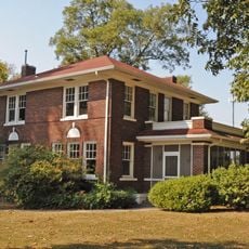
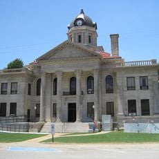
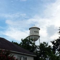
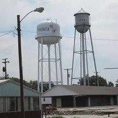
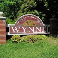
Cross County is an administrative region in northeastern Arkansas comprising farmland, wetlands, and several towns with Wynne serving as the county seat. The area spans around 600 square miles and is connected by roads that link major settlements including Cherry Valley, Parkin, and Caldwell.

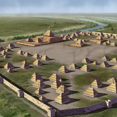
The region was established in 1862 during the Civil War when Arkansas created new administrative districts. This founding occurred amid significant political changes that reshaped the state.

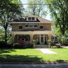
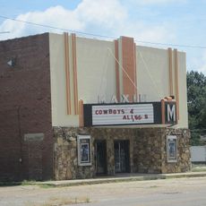
Daily life here revolves around farming traditions and community events that gather residents in small towns throughout the county.

Getting around requires a car since the region relies on local roads connecting all towns and lacks public transportation. Planning drives between settlements in advance helps visitors navigate the area efficiently.

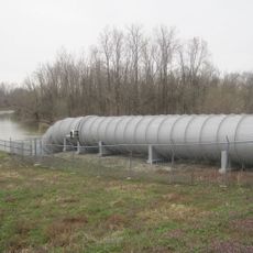
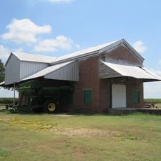
Cotton fields have shaped the landscape here since the beginning and continue to define the local economy today. Walking through the county, you see endless rows of crops that connect past and present.

Location: Arkansas

Inception: November 15, 1862

Capital city: Wynne

Shares border with: Poinsett County, St. Francis County, Crittenden County, Jackson County, Woodruff County

Website: https://crosscountyar.org

GPS coordinates: 35.29167,-90.77333

Latest update: December 8, 2025 13:44

Photos
Around this place
Parkin Archeological State Park
United States of America

Parkin Archeological State Park

19.7 km
Village Creek State Park
United States of America

Village Creek State Park

15.1 km
Lake Poinsett State Park
United States of America

Lake Poinsett State Park

27.9 km
L'Anguille River
United States of America

L'Anguille River

41.1 km
Earle High School
United States of America

Earle High School

27.5 km
Campbell House
United States of America

Campbell House

31 km
Marked Tree Lock and Siphons
United States of America

Marked Tree Lock and Siphons

45.2 km
East Hamilton Avenue Historic District
United States of America

East Hamilton Avenue Historic District

8.3 km
Berry Cemetery
United States of America

Berry Cemetery

27.8 km
St. Francis River Bridge
United States of America

St. Francis River Bridge

29.1 km
Maxie Theatre
United States of America

Maxie Theatre

48.2 km
Poinsett County Courthouse
United States of America

Poinsett County Courthouse

30.6 km
First United Methodist Church
United States of America

First United Methodist Church

31.5 km
Hughes Water Tower
United States of America

Hughes Water Tower

47 km
John H. Johnston Cotton Gin Historic District
United States of America

John H. Johnston Cotton Gin Historic District

7.1 km
Tyronza Water Tower
United States of America

Tyronza Water Tower

43.7 km
Judd Hill Cotton Gin
United States of America

Judd Hill Cotton Gin

41.7 km
New Hope School
United States of America

New Hope School

10 km
Marion Colored High School
United States of America

Marion Colored High School

52.6 km
Dr. F.W. Buercklin House
United States of America

Dr. F.W. Buercklin House

31 km
Tyronza Methodist Episcopal Church, South
United States of America

Tyronza Methodist Episcopal Church, South

43.5 km
Dr. John William Morris Clinic
United States of America

Dr. John William Morris Clinic

39 km
Giboney-Robertson-Stewart House
United States of America

Giboney-Robertson-Stewart House

7.4 km
Old Turrell City Hall
United States of America

Old Turrell City Hall

48 km
Weldon Gin Company Historic District
United States of America

Weldon Gin Company Historic District

45 km
Wynne Wholesale Commercial Historic District
United States of America

Wynne Wholesale Commercial Historic District

7.5 km
Sultana Disaster Museum
United States of America

Sultana Disaster Museum

53.2 km
McCrory Waterworks
United States of America

McCrory Waterworks

39 km
Show the full map
Reviews

Visited this place? Tap the stars to rate it and share your experience / photos with the community! Try now! You can cancel it anytime.

Administrative divisions
« Cross County - Administrative county in northeastern Arkansas, United States » is provided by Around Us (aroundus.com). Images and texts are derived from Wikimedia project under a Creative Commons license. You are allowed to copy, distribute, and modify copies of this page, under the conditions set by the license, as long as this note is clearly visible.

Discover hidden gems everywhere you go!

From secret cafés to breathtaking viewpoints, skip the crowded tourist spots and find places that match your style. Our app makes it easy with voice search, smart filtering, route optimization, and insider tips from travelers worldwide. Download now for the complete mobile experience.

Around Us App Screenshot

A unique approach to discovering new places

Le Figaro

All the places worth exploring

France Info

A tailor-made excursion in just a few clicks

20 Minutes