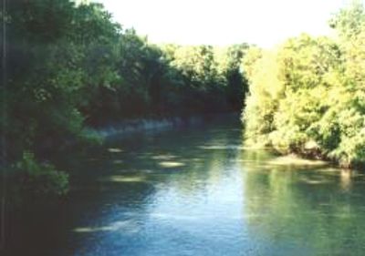
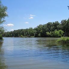
L'Anguille River, Tributary river in northeastern Arkansas, United States
The L'Anguille River is a tributary in northeastern Arkansas that flows southward from Jonesboro through several counties before joining the St. Francis River. The waterway moves through an agricultural region where it continues to play a role in the local landscape.
French fur trappers worked along this waterway during the 18th century and gave it its name, L'Anguille, meaning eel in French. Their early presence helped establish trade routes that influenced the region's later growth.
The waterway shaped the development of several settlements in the region, particularly Marianna, which relocated downstream to benefit from improved navigation. The river remains significant for local communities today and continues to structure daily life in the surrounding areas.
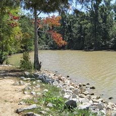
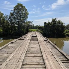
The river is accessible from various points, particularly near Marianna and other towns along its course. Visitors should note that the surrounding terrain is flat and water levels can vary depending on the season.
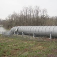
The waterway was designated by environmental authorities as an impaired watershed due to agricultural runoff and excessive siltation. This classification reflects modern challenges facing many rivers in farming regions.
The community of curious travelers
AroundUs brings together thousands of curated places, local tips, and hidden gems, enriched daily by 60,000 contributors worldwide.