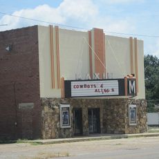
Craighead County, County in northeastern Arkansas, United States.
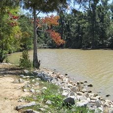
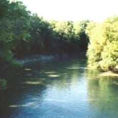
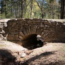
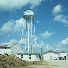
Craighead County is an administrative division in northeastern Arkansas that covers a substantial area with varied landscapes. The region is defined by Crowley's Ridge running through its center and has two administrative seats in Jonesboro and Lake City.
The county was established in 1859 as Arkansas's 58th administrative division and was named after William Craighead, an early settler of the area. Its creation occurred during a period of significant territorial reorganization in the state.
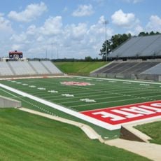
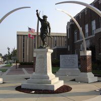
Arkansas State University in Jonesboro shapes the region's cultural life and brings students and visitors to the area. The university has become an important hub for events, performances, and public activities that enrich community life.
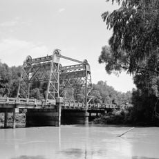
The area is well connected by Interstate 555 and U.S. Highway 63, providing access to major transportation routes. Visitors can find multiple public services and infrastructure that support daily activities and travel.
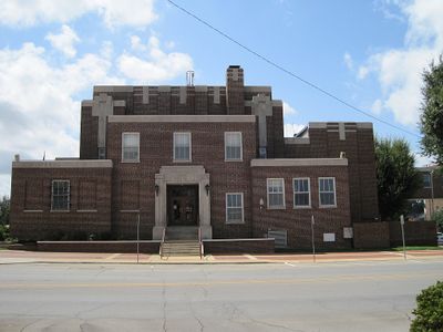
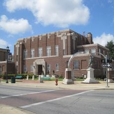
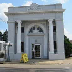
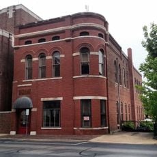
The county operates with a dual-seat system, making it one of the few in Arkansas to maintain two separate administrative centers. This unusual arrangement allows both Jonesboro and Lake City to share administrative responsibilities.
The community of curious travelers
AroundUs brings together thousands of curated places, local tips, and hidden gems, enriched daily by 60,000 contributors worldwide.