Enable Location

We need your location to show you interesting places around you

Discover nearby places

Find interesting locations and hidden gems around you

Precise directions

Get accurate directions and distances to places

Your location is never shared with other users. It's only used when you tap the location button.

Dutchess County

Log in to your account

Start exploring — it's free

Trusted by 63,630 travelers worldwide

Continue with Google
Continue with Apple
or

We will send you a code to connect

By continuing, you accept our Terms and Conditions and our Privacy Policy

Check your inbox

We've sent a pincode in your inbox. Please enter the code below.

Discussion Reviews 3 Photos
124k Popularity

Dutchess County, County in Hudson Valley, New York, United States.

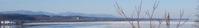
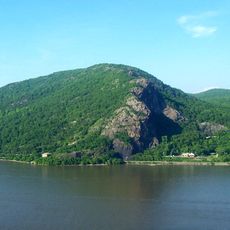
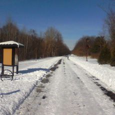
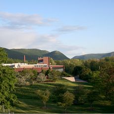
Dutchess County is an administrative unit in the Hudson Valley, New York, stretching between the Hudson River and the Connecticut border. The terrain ranges from riverbanks to rolling hills and forested heights, with Brace Mountain as the highest point.

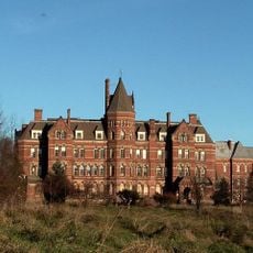
The administrative unit was established in 1683 and ranked among the first twelve of its kind in the state. The name was chosen to honor Mary of Modena, who held the title Duchess of York at the time.

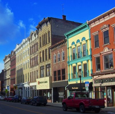
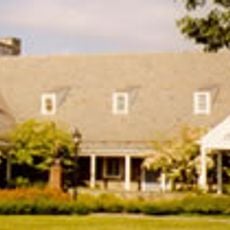
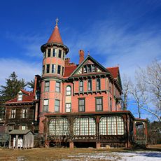
The name traces back to Mary of Modena, who held the title Duchess of York when the administrative unit was founded. Old place names and family names from Dutch, German, and English settlers still appear on road signs and business names today.

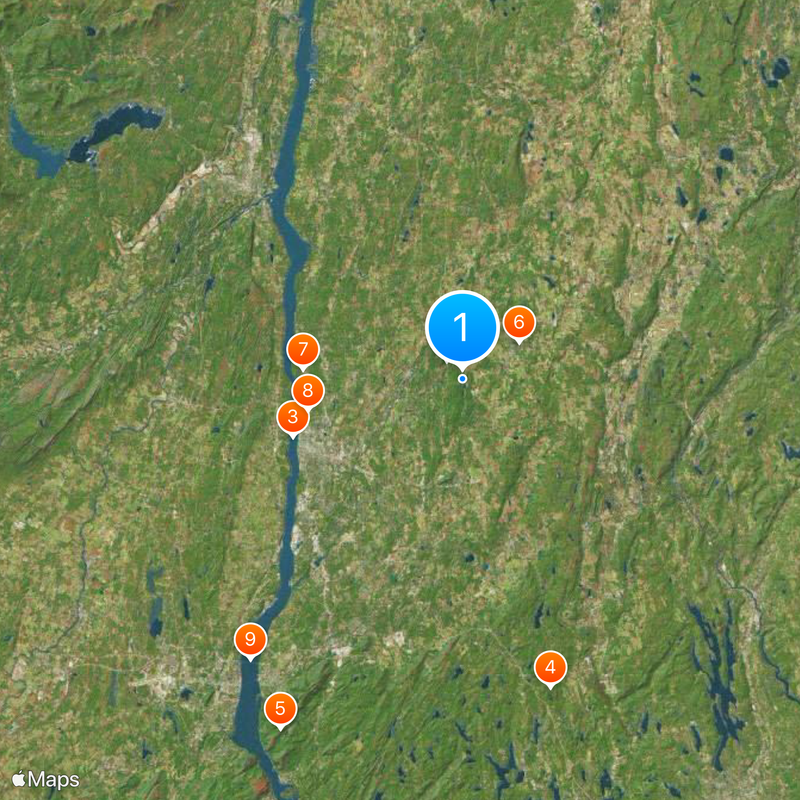
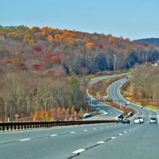
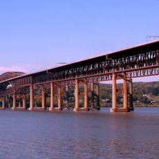
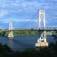
Metro-North Railroad offers a direct rail connection to New York City, while Interstate 84 and the Taconic State Parkway provide the main road links. The area suits day trips and longer stays, with access to hiking trails and riverbanks.

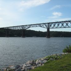
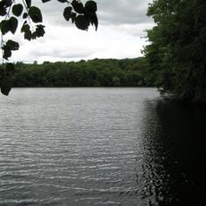
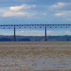
The Wappinger Creek flows through the entire region and forms a sprawling river system that empties into the Hudson. Its watershed covers wide portions of the landscape and shapes the topography between the hills.

The community of curious travelers

AroundUs brings together thousands of curated places, local tips, and hidden gems, enriched daily by 60,000 contributors worldwide.

Start exploring
Location
Inception
1683
Capital city
Poughkeepsie
Shares border with
Columbia County, Putnam County, Fairfield County, Litchfield County, Orange County, Ulster County, Berkshire County, Western Connecticut Planning Region, Northwest Hills Planning Region
GPS coordinates
41.76000,-73.75000
Latest update
December 15, 2025 00:24
Around this place
Taconic State Parkway
United States of America

Taconic State Parkway

2.3 km
Walkway over the Hudson
United States of America

Walkway over the Hudson

17.1 km
Wonder Lake State Park
United States of America

Wonder Lake State Park

30.7 km
Breakneck Ridge
United States of America

Breakneck Ridge

37.7 km
United States of America

Hitchcock Estate

6.4 km
Franklin D. Roosevelt Presidential Library and Museum
United States of America

Franklin D. Roosevelt Presidential Library and Museum

15.3 km
Hudson River State Hospital
United States of America

Hudson River State Hospital

15.1 km
Newburgh–Beacon Bridge
United States of America

Newburgh–Beacon Bridge

33.6 km
The Chapel of Sacred Mirrors
United States of America

The Chapel of Sacred Mirrors

25.3 km
Mid-Hudson Bridge
United States of America

Mid-Hudson Bridge

17.5 km
Top Cottage
United States of America

Top Cottage

11.5 km
Chuang Yen Monastery
United States of America

Chuang Yen Monastery

30.8 km
Old Rhinebeck Aerodrome
United States of America

Old Rhinebeck Aerodrome

25.2 km
Rokeby
United States of America

Rokeby

29.2 km
Hudson Highlands State Park
United States of America

Hudson Highlands State Park

37.8 km
Kingston–Rhinecliff Bridge
United States of America

Kingston–Rhinecliff Bridge

29.2 km
Staatsburgh State Historic Site
United States of America

Staatsburgh State Historic Site

18.4 km
Mid-Hudson Civic Center
United States of America

Mid-Hudson Civic Center

16.1 km
Wyndcliffe
United States of America

Wyndcliffe

21.1 km
Hudson Valley Rail Trail
United States of America

Hudson Valley Rail Trail

18.7 km
Richard B. Fisher Center for the Performing Arts
United States of America

Richard B. Fisher Center for the Performing Arts

32.7 km
The Chance
United States of America

The Chance

15.8 km
Wilderstein
United States of America

Wilderstein

21.8 km
Dia Beacon
United States of America

Dia Beacon

34.8 km
Col. Oliver Hazard Payne Estate
United States of America

Col. Oliver Hazard Payne Estate

18.2 km
United States of America

Bard Graduate Center

32.2 km
Innisfree Garden
United States of America

Innisfree Garden

186 m
Montgomery Place
United States of America

Montgomery Place

31.6 km
Show the full map
Reviews
Share your experience

No review yet

Discussions
Start a discussion...

No discussion yet

Administrative divisions
« Dutchess County - County in Hudson Valley, New York, United States » is provided by Around Us (aroundus.com). Images and texts are derived from Wikimedia project under a Creative Commons license. You are allowed to copy, distribute, and modify copies of this page, under the conditions set by the license, as long as this note is clearly visible.

Discover hidden gems everywhere you go!

From secret cafés to breathtaking viewpoints, skip the crowded tourist spots and find places that match your style. Our app makes it easy with voice search, smart filtering, route optimization, and insider tips from travelers worldwide. Download now for the complete mobile experience.

Around Us App Screenshot

A unique approach to discovering new places

Le Figaro

All the places worth exploring

France Info

A tailor-made excursion in just a few clicks

20 Minutes

Around Us
Travel Guide & Maps
Download

Send to your phone

QR Code
1

Open the camera app on your mobile.

2

Point at the QR code with your camera. A notification will appear.

3

Tap the notification to open the link.