Loup County

Log in to your account

AroundUs is a community-driven map of interesting places, built by curious explorers like you. It grows with every review, story, and photo you share.
Connect to save your favorite spots, contribute locations, and create personalized routes.
Continue with Google
Continue with Apple
Continue with X
Continue with Facebook
Continue with email
By continuing, you accept our Terms and Conditions and our Privacy Policy
Create an account
Add to collection
Map
Suggest a change
Share

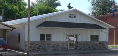
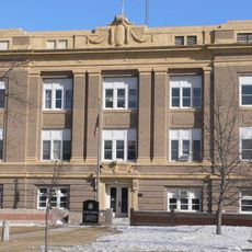
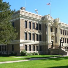
Loup County, Administrative county in Nebraska, United States.

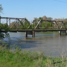
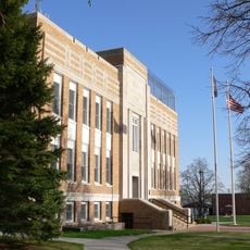
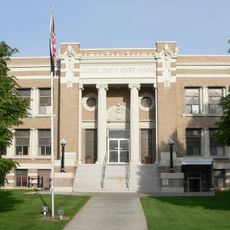
Loup County is an administrative division in Nebraska featuring agricultural lands with the Calamus River running through its upper central area. The territory covers approximately 571 square miles, with Taylor serving as the county seat.

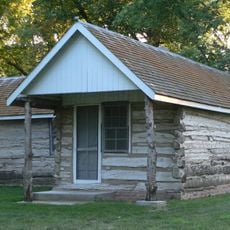
The county was established in 1883 and named after the Pawnee Loup Indians who lived in the area before European settlement. Early development centered on settlers who came to farm the land.

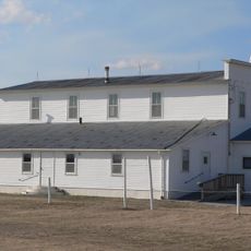
Farming shapes how people live and organize their year, with community gatherings centered on the harvest and seasonal rhythms. The working landscape and agricultural traditions form the backbone of daily life here.

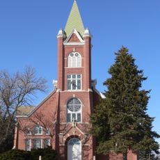
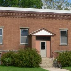
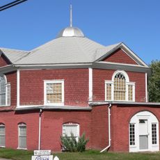
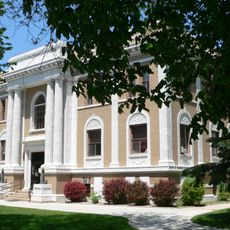
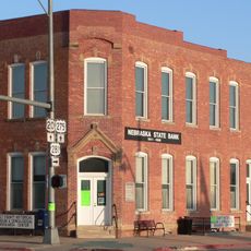
Taylor at the center offers essential services and facilities for visitors and residents. U.S. Highway 183 and Nebraska Highways 91 and 96 connect the region to surrounding areas.

With only a few hundred residents, this county ranks among the least populated in Nebraska and across the nation. This sparse population gives the place a quiet, rural character that defines much of the region.

Location: Nebraska

Inception: 1883

Capital city: Taylor

Shares border with: Rock County, Holt County, Garfield County, Custer County, Blaine County, Brown County

Website: http://co.loup.ne.us

GPS coordinates: 41.93000,-99.45000

Latest update: December 10, 2025 16:04

Photos
Around this place
Dowse Sod House
United States of America

Dowse Sod House

49.2 km
Fort Hartsuff State Historical Park
United States of America

Fort Hartsuff State Historical Park

42.2 km
St. Anselm's Catholic Church, Rectory and Parish Hall
United States of America

St. Anselm's Catholic Church, Rectory and Parish Hall

49.2 km
Rad Slavin cis. 112 Z.C.B.J. Hall
United States of America

Rad Slavin cis. 112 Z.C.B.J. Hall

43.2 km
Carns State Aid Bridge
United States of America

Carns State Aid Bridge

89.5 km
Church of the Visitation of the Blessed Virgin Mary
United States of America

Church of the Visitation of the Blessed Virgin Mary

93.5 km
A.T. Ranch Headquarters
United States of America

A.T. Ranch Headquarters

78.7 km
St. Michael's Catholic Church Complex
United States of America

St. Michael's Catholic Church Complex

94.1 km
Sargent Bridge
United States of America

Sargent Bridge

34.3 km
Dannevirke Danish Lutheran Church and Community Hall
United States of America

Dannevirke Danish Lutheran Church and Community Hall

91.6 km
Garfield County Frontier Fairgrounds
United States of America

Garfield County Frontier Fairgrounds

32.1 km
Loup City Township Carnegie Library
United States of America

Loup City Township Carnegie Library

83.2 km
North Loup Bridge
United States of America

North Loup Bridge

74.5 km
Burwell Carnegie Library
United States of America

Burwell Carnegie Library

31 km
People's Unitarian Church
United States of America

People's Unitarian Church

56.6 km
Sherman County Courthouse
United States of America

Sherman County Courthouse

83.3 km
Greeley County Courthouse
United States of America

Greeley County Courthouse

87.5 km
Brantly Sturdevant House
United States of America

Brantly Sturdevant House

77.2 km
Former Wheeler County Courthouse
United States of America

Former Wheeler County Courthouse

74.6 km
Valley County Courthouse
United States of America

Valley County Courthouse

56.6 km
Holt County Courthouse
United States of America

Holt County Courthouse

88.7 km
Custer County Courthouse
United States of America

Custer County Courthouse

81.1 km
Old Nebraska State Bank Building
United States of America

Old Nebraska State Bank Building

88.5 km
Custer County Courthouse
United States of America

Custer County Courthouse

60.9 km
Brenizer Library
United States of America

Brenizer Library

55.9 km
Rock County Courthouse
United States of America

Rock County Courthouse

73 km
Broken Bow Carnegie Library
United States of America

Broken Bow Carnegie Library

60.8 km
Tiffany Theater
United States of America

Tiffany Theater

60.7 km
Show the full map
Reviews

Visited this place? Tap the stars to rate it and share your experience / photos with the community! Try now! You can cancel it anytime.

Administrative divisions
« Loup County - Administrative county in Nebraska, United States » is provided by Around Us (aroundus.com). Images and texts are derived from Wikimedia project under a Creative Commons license. You are allowed to copy, distribute, and modify copies of this page, under the conditions set by the license, as long as this note is clearly visible.

Discover hidden gems everywhere you go!

From secret cafés to breathtaking viewpoints, skip the crowded tourist spots and find places that match your style. Our app makes it easy with voice search, smart filtering, route optimization, and insider tips from travelers worldwide. Download now for the complete mobile experience.

Around Us App Screenshot

A unique approach to discovering new places

Le Figaro

All the places worth exploring

France Info

A tailor-made excursion in just a few clicks

20 Minutes