
Douglas County, Administrative county seat in east-central Illinois, United States.
Douglas County encompasses 417 square miles of land with agricultural fields, small towns, and a network of highways connecting local communities.
The county was established in 1859 and named after Stephen Douglas, a United States Senator who participated in debates with Abraham Lincoln.
The Douglas County courthouse in Tuscola maintains two courtrooms on its third floor, representing local government and judicial proceedings.
The county administration building operates from 8:30 a.m. to 4:30 p.m., providing services such as civil case management and e-filing through the Circuit Clerk's Office.
The temperature variations in Douglas County range from minus 26 degrees Fahrenheit to 113 degrees Fahrenheit throughout different seasons.
Location: Illinois
Inception: 1859
Capital city: Tuscola
Shares border with: Champaign County, Coles County, Moultrie County, Vermilion County, Edgar County, Piatt County
Website: http://douglascountyil.com
GPS coordinates: 39.77000,-88.22000
Latest update: March 10, 2025 15:01

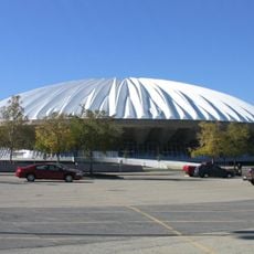
State Farm Center
36.3 km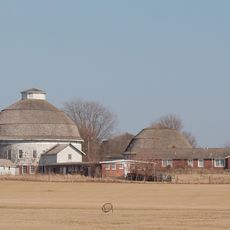
University of Illinois round barns
36.1 km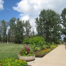
University of Illinois Arboretum
36.1 km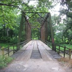
Airtight Bridge
26.4 km
Voorhies Castle
32.6 km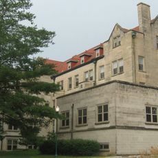
Pemberton Hall
32.1 km
University of Illinois Experimental Dairy Farm Historic District
36.1 km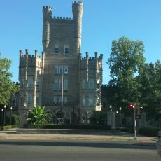
Old Main
32 km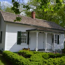
Bryant Cottage State Historic Site
34.6 km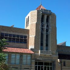
Health Education Building
32.3 km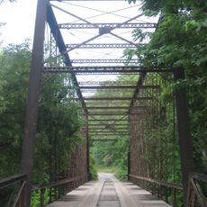
Stone Quarry Bridge
29.3 km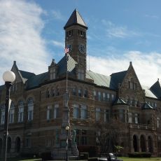
Coles County Courthouse
30.9 km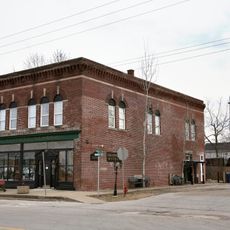
National Museum of Ship Models and Sea History
24.4 km
Alexander Briggs House
30.9 km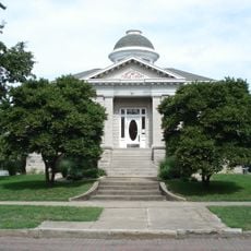
Arcola Carnegie Public Library
11.7 km
Dr. Hiram Rutherford House and Office
20.9 km
Unity Church
34.8 km
Harrison Street Bridge
32.6 km
United States Post Office (Mattoon, Illinois)
34.8 km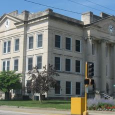
Richland County Courthouse
12.3 km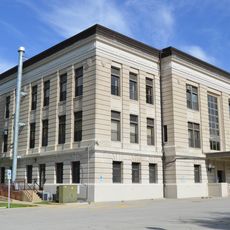
Douglas County Courthouse
6.3 km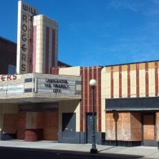
Will Rogers Theatre
30.8 km
McFarland House
31.4 km
Burgess-Osborne Memorial Auditorium
34.9 km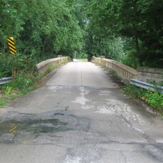
Blakeman Bridge
35.4 km
Richard Roytek House
35.2 km
Sixth, Seventh, and Tenth Street Stone Arch Bridges
31.1 km
Lumpkin Heights and Elm Ridge Subdivision Historic District
34.3 kmReviews
Visited this place? Tap the stars to rate it and share your experience / photos with the community! Try now! You can cancel it anytime.
Discover hidden gems everywhere you go!
From secret cafés to breathtaking viewpoints, skip the crowded tourist spots and find places that match your style. Our app makes it easy with voice search, smart filtering, route optimization, and insider tips from travelers worldwide. Download now for the complete mobile experience.

A unique approach to discovering new places❞
— Le Figaro
All the places worth exploring❞
— France Info
A tailor-made excursion in just a few clicks❞
— 20 Minutes