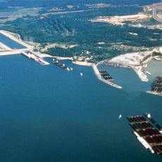
Tennessee River, Major river in northern Alabama, United States.
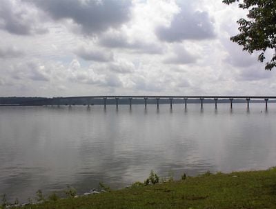
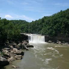
The Tennessee River runs about 160 miles through northern Alabama, forming several artificial lakes used for power generation and water supply. Its banks alternate between wooded slopes and flat sections where fields and small settlements border the water directly.
The federal government constructed several large dams along the river starting in the 1930s to control flooding and generate electricity. These structures changed the natural flow and created new shipping routes.
The name comes from the Cherokee who lived in this region before European settlers arrived. Anglers still use the same quiet stretches that have been known for centuries for their good fishing spots.
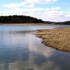
Numerous public boat ramps at the artificial lakes provide water access, especially during the warmer months from spring through fall. Those interested in fishing or swimming will find designated zones at different shores with parking areas.
The underwater fauna includes more than 100 different mussel species, many of which exist nowhere else on the continent. Some of these mussels were only scientifically described in recent decades.
The community of curious travelers
AroundUs brings together thousands of curated places, local tips, and hidden gems, enriched daily by 60,000 contributors worldwide.