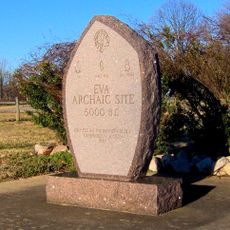
Kentucky Lake, Artificial reservoir in western Kentucky, United States
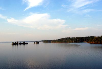
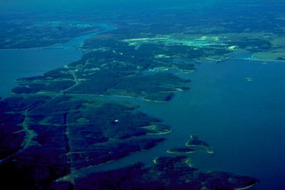
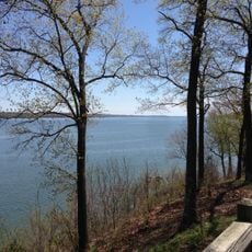
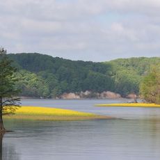
Kentucky Lake is a reservoir in western Kentucky created by damming the Tennessee River, stretching more than 160 miles (257 kilometers) along the western edge of the state. The water forms a long, winding body with many coves and wooded shorelines surrounded by rolling hills and flat plains.
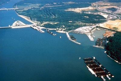
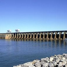
The Tennessee Valley Authority built Kentucky Dam between 1938 and 1944 to control flooding and generate electricity for the region. The dam blocked the Tennessee River and created one of the first major hydroelectric projects in the southeastern United States.
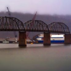
The name honors the state, though the water actually flows through both Kentucky and Tennessee, connecting communities on either shore. Locals often refer to the area simply as
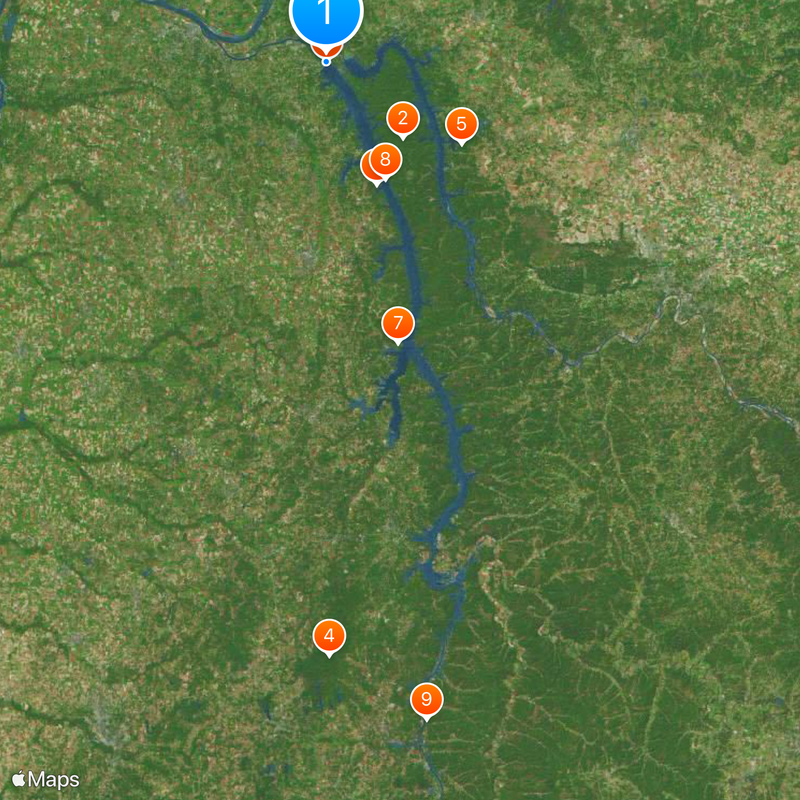
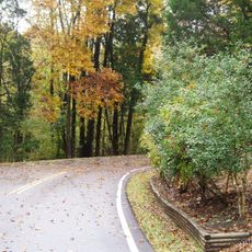
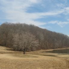
Several state parks along the shore offer boat ramps, campgrounds, and fishing spots accessible by highway. The best time to visit is spring or fall, when the weather is mild and fewer visitors are around.
The reservoir holds more floodwater than any other dam in the Tennessee Valley Authority system, playing a central role in regional flood protection. In some places, the water reaches depths of more than 70 feet (21 meters), providing habitat for numerous fish species.
Location: Kentucky
Inception: January 1, 1944
Part of: Tennessee River
GPS coordinates: 37.01256,-88.27003
Latest update: December 12, 2025 04:45
Land Between the Lakes National Recreation Area
24.5 km
Kentucky Dam
95 m
Natchez Trace State Park
136.5 km
Lake Barkley State Resort Park
36.1 km
Kenlake State Resort Park
30.2 km
Paris Landing State Park
66.4 km
Eggner's Ferry Bridge
29.9 km
Mousetail Landing State Park
153 km
Tennessee National Wildlife Refuge
121.7 km
Johnsonville State Historic Park
109.3 km
Cherokee State Park
30.5 km
Jimmy Mann Evans Memorial Bridge
130.8 km
Mt. Zion Church and Cemetery
74.2 km
Lake Barkley Bridge
35.1 km
William Thompson House
109.4 km
Mount Zion Church
95.6 km
John L. Hagler House
84.1 km
Thomas Lawson House
3.1 km
James Dickson House
149.9 km
Alley Bluff
154.9 km
Eva Site
107.5 km
Nathan Bedford Forrest State Park
106.2 km
Tennessee River Freshwater Pearl Museum and Cabin Rentals
117.9 km
Grays Landing Lake Access Area
65.7 km
Honey Point
118.8 km
Redbud Lake
147.1 km
Cedar Bluff
43.6 km
Douglas Bluff
89.3 kmReal people, real opinions — but not verified.
Visited this place? Tap the stars to rate it and share your experience / photos with the community! Try now! You can cancel it anytime.
great
Discover hidden gems everywhere you go!
From secret cafés to breathtaking viewpoints, skip the crowded tourist spots and find places that match your style. Our app makes it easy with voice search, smart filtering, route optimization, and insider tips from travelers worldwide. Download now for the complete mobile experience.
A unique approach to discovering new places❞
— Le Figaro
All the places worth exploring❞
— France Info
A tailor-made excursion in just a few clicks❞
— 20 Minutes
