
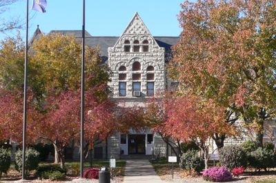
Nemaha County, County administration center in Auburn, Nebraska.
Nemaha County extends across 1,067 square kilometers of land in southeastern Nebraska, bordering the Missouri River along its eastern boundary.
The Nebraska Territorial Legislature established Nemaha County in 1855, designating Auburn as the administrative center for local government operations.
The county maintains strong connections to agricultural traditions through seasonal festivals, farming exhibitions, and community gatherings at the fairgrounds.
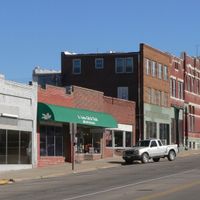
The Nemaha County Courthouse at 1824 N Street in Auburn processes administrative tasks including property records, marriage licenses, and vehicle registrations.
Despite its inland location, Nemaha County records indicate negative water surface area statistics, reflecting particular geographical measurement methods.
Location: Nebraska
Inception: 1855
Capital city: Auburn
Shares border with: Otoe County, Richardson County, Johnson County, Pawnee County, Atchison County, Holt County
Website: http://nemahacounty.ne.gov
GPS coordinates: 40.39000,-95.85000
Latest update: March 7, 2025 16:59
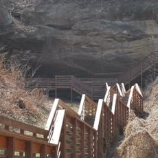
Indian Cave State Park
29.4 km
Arbor Lodge State Historical Park and Arboretum
32.5 km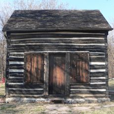
Mayhew Cabin
31.6 km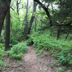
Waubonsie State Park
34.3 km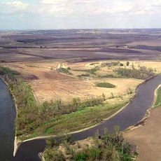
McKissick Island
22.7 km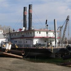
Captain Meriwether Lewis
16.9 km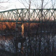
Brownville Bridge
16.8 km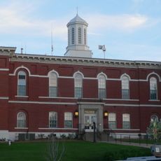
Otoe County Courthouse
31.9 km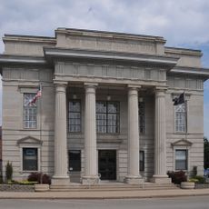
Atchison County Memorial Building
28.6 km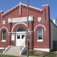
Grand Army of the Republic Memorial Hall
31.8 km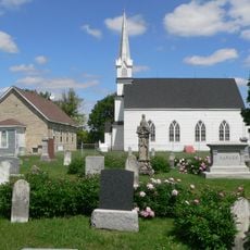
St. John's Lutheran Church Complex
11 km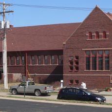
Morton-James Public Library
31.8 km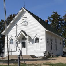
Harmony School, School District No. 53
18.2 km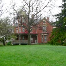
John Holman House
25.8 km
Boscobel
32.7 km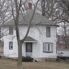
George F. Lee Octagon Houses
20.6 km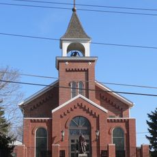
St. Benedict's Catholic Church
31.1 km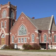
First United Presbyterian Church
734 m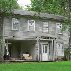
John W. Bennett House
14.9 km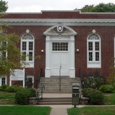
Hamburg Public Library
29.1 km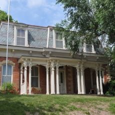
John Dickinson Dopf Mansion
28.2 km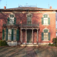
Wilber T. Reed House
557 m
Nemaha County Courthouse
683 m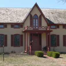
Jasper A. Ware House
31.5 km
River Inn Resort
17.1 km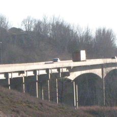
Nebraska City Bridge
31.3 km
Arbor Day Farm
32.4 km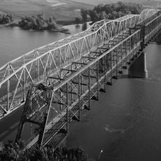
Nebraska City Bridge
31.3 kmReviews
Visited this place? Tap the stars to rate it and share your experience / photos with the community! Try now! You can cancel it anytime.
Discover hidden gems everywhere you go!
From secret cafés to breathtaking viewpoints, skip the crowded tourist spots and find places that match your style. Our app makes it easy with voice search, smart filtering, route optimization, and insider tips from travelers worldwide. Download now for the complete mobile experience.

A unique approach to discovering new places❞
— Le Figaro
All the places worth exploring❞
— France Info
A tailor-made excursion in just a few clicks❞
— 20 Minutes