Mercer County

Log in to your account

AroundUs is a community-driven map of interesting places, built by curious explorers like you. It grows with every review, story, and photo you share.
Connect to save your favorite spots, contribute locations, and create personalized routes.
Continue with Google
Continue with Apple
Continue with X
Continue with Facebook
Continue with email
By continuing, you accept our Terms and Conditions and our Privacy Policy
Create an account
Add to collection
Map
Suggest a change
Share

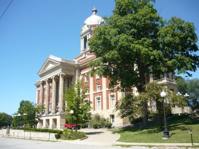
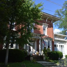
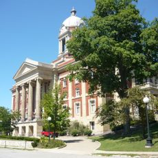
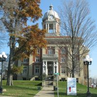
Mercer County, Administrative county in western Pennsylvania, United States.

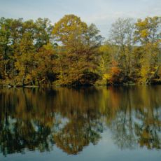
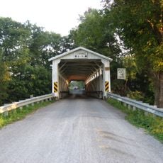
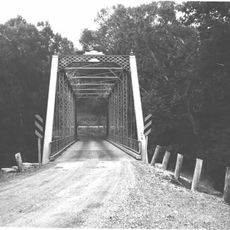
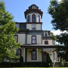
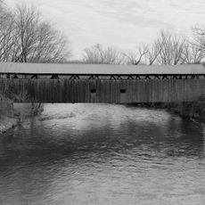
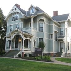
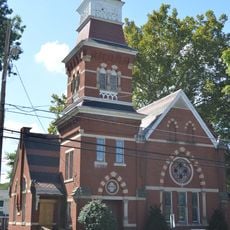
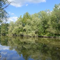
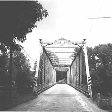
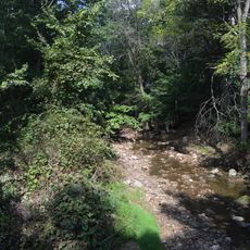
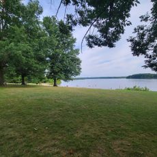
Mercer County is an administrative division in northwestern Pennsylvania that stretches between Pittsburgh and Erie, encompassing numerous waterways, forests, and public recreational areas. The landscape includes rolling terrain with parks and open spaces scattered throughout the region.

The county was established in 1803 and named after General Hugh Mercer, a military officer from the American Revolution. Its creation marked the expansion of settlements into this frontier region.

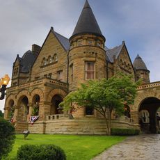
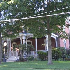
Grove City College and Thiel College are important educational centers that shape the region's intellectual and social life. These institutions influence how the communities develop and interact with each other.

The Grove City Premium Outlets and shopping districts in Sharon offer retail opportunities with tax advantages across the region. Visitors should explore shopping centers located in the main towns to find the widest selection of stores.

The Avenue of 444 Flags is a memorial display in the region that marks the days of the Iran hostage crisis. This installation stands as a reminder of a significant moment in American history that affected the nation.

Location: Pennsylvania

Inception: November 7, 1803

Capital city: Mercer

Shares border with: Crawford County, Venango County, Butler County, Lawrence County, Mahoning County, Trumbull County

Website: https://mercercountypa.gov

GPS coordinates: 41.31000,-80.25000

Latest update: December 19, 2025 23:57

Photos
Around this place
Wendell August Forge
United States of America

Wendell August Forge

22.4 km
Frank H. Buhl Mansion
United States of America

Frank H. Buhl Mansion

22.7 km
Shenango River Lake
United States of America

Shenango River Lake

14.6 km
Maurice K. Goddard State Park
United States of America

Maurice K. Goddard State Park

15.9 km
United States of America

Buhl Farm Golf Course

21.2 km
United States of America

Avenue of Flags

19.6 km
Gibson House
United States of America

Gibson House

25.1 km
Banks Covered Bridge
United States of America

Banks Covered Bridge

24.6 km
Mercer County Courthouse
United States of America

Mercer County Courthouse

9.8 km
United States of America

Sacred Heart Church

23.7 km
United States of America

Tam O'Shanter Golf Course

21.5 km
Quaker Bridge
United States of America

Quaker Bridge

16.5 km
Jonas J. Pierce House
United States of America

Jonas J. Pierce House

19 km
Kidd's Mills Covered Bridge Historic District
United States of America

Kidd's Mills Covered Bridge Historic District

13.2 km
S.R. Thompson House
United States of America

S.R. Thompson House

22.4 km
First Universalist Church of Sharpsville
United States of America

First Universalist Church of Sharpsville

19.5 km
Greenville Commercial Historic District
United States of America

Greenville Commercial Historic District

15.9 km
Alexander P. and James S. Waugh House
United States of America

Alexander P. and James S. Waugh House

12 km
Big Bend Historical Area
United States of America

Big Bend Historical Area

6.7 km
Bridge in French Creek Township
United States of America

Bridge in French Creek Township

26.4 km
New Hamburg Historical Area
United States of America

New Hamburg Historical Area

7.5 km
Christiana Lindsey House
United States of America

Christiana Lindsey House

9.5 km
Volant Mills
United States of America

Volant Mills

21.9 km
Chestnut Run Swim Beach
United States of America

Chestnut Run Swim Beach

17.7 km
United States of America

State Game Lands Number 270

16.1 km
United States of America

State Game Lands Number 294

744 m
United States of America

State Game Lands Number 284

22.6 km
United States of America

State Game Lands Number 151

27.1 km
Show the full map
Reviews

Visited this place? Tap the stars to rate it and share your experience / photos with the community! Try now! You can cancel it anytime.

Administrative divisions
« Mercer County - Administrative county in western Pennsylvania, United States » is provided by Around Us (aroundus.com). Images and texts are derived from Wikimedia project under a Creative Commons license. You are allowed to copy, distribute, and modify copies of this page, under the conditions set by the license, as long as this note is clearly visible.

Discover hidden gems everywhere you go!

From secret cafés to breathtaking viewpoints, skip the crowded tourist spots and find places that match your style. Our app makes it easy with voice search, smart filtering, route optimization, and insider tips from travelers worldwide. Download now for the complete mobile experience.

Around Us App Screenshot

A unique approach to discovering new places

Le Figaro

All the places worth exploring

France Info

A tailor-made excursion in just a few clicks

20 Minutes