Oneida County

Log in to your account

AroundUs is a community-driven map of interesting places, built by curious explorers like you. It grows with every review, story, and photo you share.
Connect to save your favorite spots, contribute locations, and create personalized routes.
By continuing, you accept our Terms and Conditions and our Privacy Policy
Add to collection
Map
Suggest a change
Share

Oneida County, Administrative division in northern Wisconsin, United States
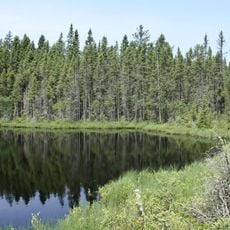
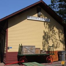
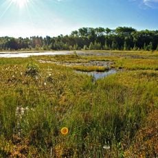
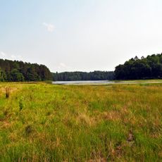
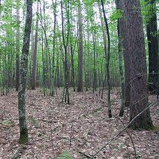
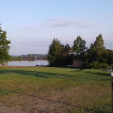
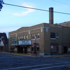
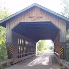
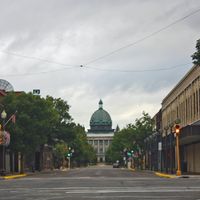
Oneida County encompasses 1,236 square miles of territory with forests, lakes, and rivers across north-central Wisconsin, featuring the city of Rhinelander as its capital.

The county formed in 1885 from sections of Lincoln County and received its name from the indigenous Oneida tribe, part of the five nations of Iroquois.

The Oneida Nation of Wisconsin maintains active programs for heritage preservation and education, contributing to the regional Native American cultural presence.

The Rhinelander-Oneida County Airport provides commercial jet service and general aviation facilities, connecting the region to major transportation networks.

The county population fluctuates significantly during summer months, particularly in Minocqua, where numbers triple from 5,000 to approximately 15,000 residents.

Location: Wisconsin

Inception: 1885

Capital city: Rhinelander

Shares border with: Vilas County, Forest County, Langlade County, Lincoln County, Price County

Website: http://co.oneida.wi.gov

GPS coordinates: 45.70000,-89.52000

Latest update: March 29, 2025 15:45

Around this place
Show the full map
Grandfather Falls
United States of America

Grandfather Falls

47.8 km
Northern Highland-American Legion State Forest
United States of America

Northern Highland-American Legion State Forest

40.1 km
Powell Marsh Wildlife Area
United States of America

Powell Marsh Wildlife Area

49.9 km
Headwaters Wilderness
United States of America

Headwaters Wilderness

46 km
Blackjack Springs Wilderness
United States of America

Blackjack Springs Wilderness

45.4 km
Eagle River Stadium
United States of America

Eagle River Stadium

33.4 km
Pioneer Park Historical Complex
United States of America

Pioneer Park Historical Complex

15 km
Black Tern Bog State Natural Area
United States of America

Black Tern Bog State Natural Area

32.8 km
Sunset Point
United States of America

Sunset Point

34.4 km
Wind Pudding Lake State Natural Area
United States of America

Wind Pudding Lake State Natural Area

11.1 km
Franklin Lake Campground
United States of America

Franklin Lake Campground

48.3 km
Dinesen-Motzfeldt-Hettinger Log House
United States of America

Dinesen-Motzfeldt-Hettinger Log House

49 km
Oneida County Courthouse
United States of America

Oneida County Courthouse

11.2 km
Jersey City Flowage
United States of America

Jersey City Flowage

29.3 km
Rice Creek State Natural Area
United States of America

Rice Creek State Natural Area

54.7 km
Solon and Mathilda Sutliff House
United States of America

Solon and Mathilda Sutliff House

11.2 km
First National Bank
United States of America

First National Bank

10.9 km
Anvil Lake Campground Shelter
United States of America

Anvil Lake Campground Shelter

44.3 km
Bose Lake Hemlock Hardwoods
United States of America

Bose Lake Hemlock Hardwoods

49.8 km
Torpy Park Beach
United States of America

Torpy Park Beach

24.2 km
Finnerud Forest Scientific Area
United States of America

Finnerud Forest Scientific Area

25 km
Eagle Lanes & Lounge
United States of America

Eagle Lanes & Lounge

31.1 km
Sara Park Beach
United States of America

Sara Park Beach

30.4 km
PPHC - Railroad Museum
United States of America

PPHC - Railroad Museum

11.6 km
Kwahamot Water Ski Show
United States of America

Kwahamot Water Ski Show

29.5 km
State Theatre
United States of America

State Theatre

10.8 km
Smith Rapids Covered Bridge
United States of America

Smith Rapids Covered Bridge

55.8 km
Trees For Tomorrow
United States of America

Trees For Tomorrow

32.5 km
Show the full map

Reviews

Visited this place? Tap the stars to rate it and share your experience / photos with the community! Try now! You can cancel it anytime.

Administrative divisions
« Oneida County - Administrative division in northern Wisconsin, United States » is provided by Around Us (aroundus.com). Images and texts are derived from Wikimedia project under a Creative Commons license. You are allowed to copy, distribute, and modify copies of this page, under the conditions set by the license, as long as this note is clearly visible.

Discover hidden gems everywhere you go!

From secret cafés to breathtaking viewpoints, skip the crowded tourist spots and find places that match your style. Our app makes it easy with voice search, smart filtering, route optimization, and insider tips from travelers worldwide. Download now for the complete mobile experience.

Around Us App Screenshot

A unique approach to discovering new places

Le Figaro

All the places worth exploring

France Info

A tailor-made excursion in just a few clicks

20 Minutes