Chase County

Log in to your account

AroundUs is a community-driven map of interesting places, built by curious explorers like you. It grows with every review, story, and photo you share.
Connect to save your favorite spots, contribute locations, and create personalized routes.
Continue with Google
Continue with Apple
Continue with X
Continue with Facebook
Continue with email
By continuing, you accept our Terms and Conditions and our Privacy Policy
Create an account
Add to collection
Map
Suggest a change
Share

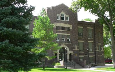
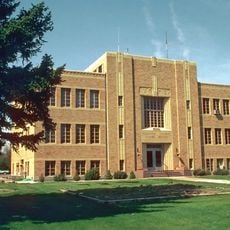
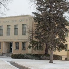
Chase County, County in southwestern Nebraska, United States.

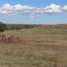
Chase County spreads across 897 square miles in southwestern Nebraska with spring-fed Frenchman Creek flowing from west to southeast across the land. Several waterways help shape the territory and make farming possible in this otherwise dry region.

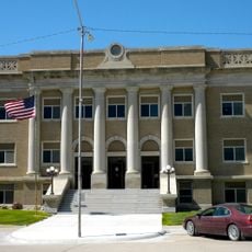
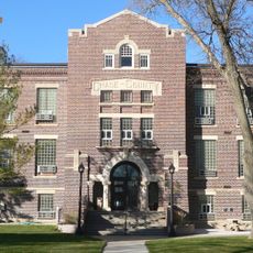
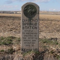
The Nebraska legislature created the county in 1873 and named it after Champion S. Chase, the first Attorney General of Nebraska and a longtime mayor of Omaha. Its founding coincided with the expansion of rail connections that linked the area to the rest of the nation.

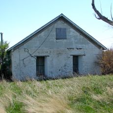
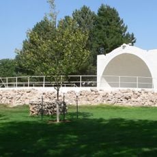
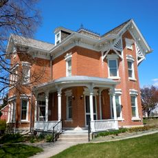
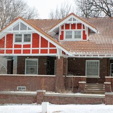
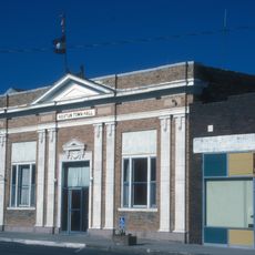
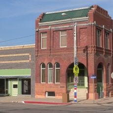
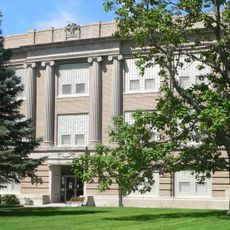
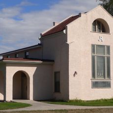
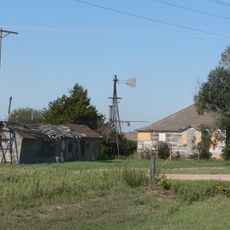
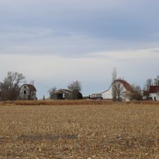
Cowboys and ranchers shaped the character of this area for generations, leaving behind traditions that still influence how people live and work here today. You can see this heritage reflected in the local way of life and the landscape itself.

The county is primarily agricultural with irrigation systems supporting wheat, corn, beans, soybeans, and sugar beets. Visitors should expect flat terrain and wide-open landscapes, with dry summers and cold winters being typical weather patterns.

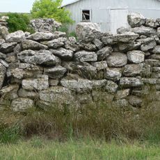
Beneath the county lies the Ogallala Formation, an underground aquifer that provides essential water for both households and farms in this otherwise dry region. This hidden water source is what makes settlement and agriculture possible across much of the Great Plains.

Location: Nebraska

Inception: 1886

Capital city: Imperial

Shares border with: Perkins County, Dundy County, Hayes County, Phillips County, Yuma County

Website: http://co.chase.ne.us

GPS coordinates: 40.53000,-101.69000

Latest update: December 10, 2025 15:46

Photos
Around this place
Lake McConaughy
United States of America

Lake McConaughy

77.4 km
O'Fallons Bluff
United States of America

O'Fallons Bluff

84.1 km
Wallace W. Waterman Sod House
United States of America

Wallace W. Waterman Sod House

80.2 km
St. John's Evangelical Lutheran German Church and Cemetery
United States of America

St. John's Evangelical Lutheran German Church and Cemetery

72.1 km
Sedgwick County Courthouse
United States of America

Sedgwick County Courthouse

70.3 km
Massacre Canyon Historical Monument
United States of America

Massacre Canyon Historical Monument

71.3 km
Champion Mill
United States of America

Champion Mill

8.4 km
Grant City Park
United States of America

Grant City Park

35.5 km
Howard T. Sawhill City Park
United States of America

Howard T. Sawhill City Park

84.5 km
Dundy County Courthouse
United States of America

Dundy County Courthouse

55 km
Texas Trail Stone Corral
United States of America

Texas Trail Stone Corral

8.8 km
Cliff Theater
United States of America

Cliff Theater

67.7 km
Phillips County Courthouse
United States of America

Phillips County Courthouse

52 km
Ideal Cement bridge (Stratton, Nebraska)
United States of America

Ideal Cement bridge (Stratton, Nebraska)

59.7 km
Leonidas A. Brandhoefer Mansion
United States of America

Leonidas A. Brandhoefer Mansion

67.2 km
W. E. Heginbotham House
United States of America

W. E. Heginbotham House

52.2 km
First National Bank of Haxtun
United States of America

First National Bank of Haxtun

80.3 km
Grant Commercial Historic District
United States of America

Grant Commercial Historic District

34.8 km
Perkins County Courthouse
United States of America

Perkins County Courthouse

34.8 km
Dr. Burdette and Myrna Gainsforth House
United States of America

Dr. Burdette and Myrna Gainsforth House

67.6 km
Johnston Memorial Building
United States of America

Johnston Memorial Building

56.2 km
Pinkie's Corner
United States of America

Pinkie's Corner

10.9 km
Cheyenne County Courthouse
United States of America

Cheyenne County Courthouse

84.6 km
Chase County Courthouse
United States of America

Chase County Courthouse

4.1 km
Millage Farm Rural Historic District
United States of America

Millage Farm Rural Historic District

52.2 km
Diamond Springs Stage Station Site
United States of America

Diamond Springs Stage Station Site

63.8 km
United States of America

Highland Precinct

74 km
Hippodrome Theatre
United States of America

Hippodrome Theatre

70.2 km
Show the full map
Reviews

Visited this place? Tap the stars to rate it and share your experience / photos with the community! Try now! You can cancel it anytime.

Administrative divisions
« Chase County - County in southwestern Nebraska, United States » is provided by Around Us (aroundus.com). Images and texts are derived from Wikimedia project under a Creative Commons license. You are allowed to copy, distribute, and modify copies of this page, under the conditions set by the license, as long as this note is clearly visible.

Discover hidden gems everywhere you go!

From secret cafés to breathtaking viewpoints, skip the crowded tourist spots and find places that match your style. Our app makes it easy with voice search, smart filtering, route optimization, and insider tips from travelers worldwide. Download now for the complete mobile experience.

Around Us App Screenshot

A unique approach to discovering new places

Le Figaro

All the places worth exploring

France Info

A tailor-made excursion in just a few clicks

20 Minutes