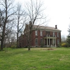
Caldwell County, Administrative county in northwest Missouri, United States
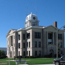
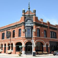
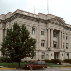
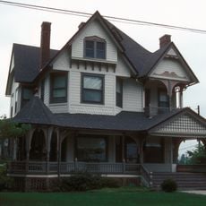
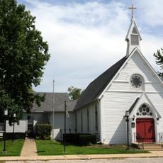
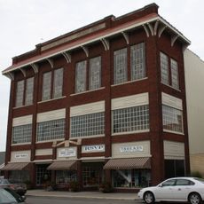
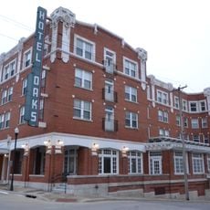
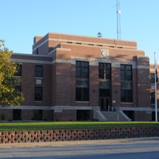
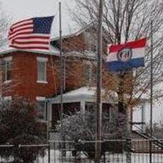
Caldwell County is an administrative division in northwestern Missouri that encompasses rural and small-town communities. Kingston serves as the county seat and functions as the center for local government operations and public services.
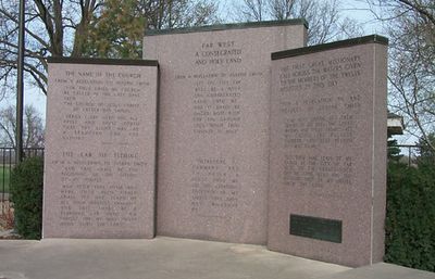
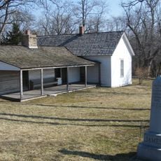
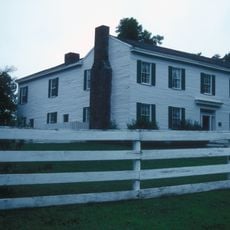
The county was established on December 29, 1836, and named after John Caldwell, Kentucky's second Lieutenant Governor. It was originally designated as a settlement area for Mormon communities before they were forced to leave following conflict in 1838.
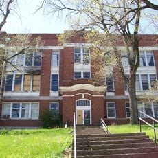
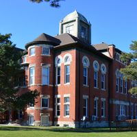
The county maintains several school districts, including Braymer, Breckenridge, Kingston, and Polo, serving the educational needs of local communities.
The area is most easily accessed through Kingston, where the main administrative facilities are located. The region is rural in character, so having a vehicle is helpful for moving around and visiting different communities.
The county was initially created as a designated settlement area for Mormon communities before their expulsion following the 1838 Missouri Mormon War.
The community of curious travelers
AroundUs brings together thousands of curated places, local tips, and hidden gems, enriched daily by 60,000 contributors worldwide.